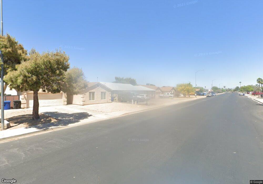
132 W Mclellan Rd Mesa, AZ 85201
Whitman Park NeighborhoodEstimated Value: $359,122 - $483,000
--
Bed
2
Baths
1,446
Sq Ft
$294/Sq Ft
Est. Value
About This Home
This home is located at 132 W Mclellan Rd, Mesa, AZ 85201 and is currently estimated at $425,031, approximately $293 per square foot. 132 W Mclellan Rd is a home located in Maricopa County with nearby schools including Whitman Elementary School, Franklin at Brimhall Elementary School, and Franklin West Elementary School.
Ownership History
Date
Name
Owned For
Owner Type
Purchase Details
Closed on
Apr 1, 2003
Sold by
Simpson Mark C and Simpson Carol A
Bought by
Simpson Carol A
Current Estimated Value
Home Financials for this Owner
Home Financials are based on the most recent Mortgage that was taken out on this home.
Original Mortgage
$104,000
Outstanding Balance
$44,185
Interest Rate
5.6%
Estimated Equity
$380,846
Purchase Details
Closed on
Apr 11, 2002
Sold by
Mcneal Michael H and Mcneal Pamella K
Bought by
Simpson Mark C and Simpson Carol A
Home Financials for this Owner
Home Financials are based on the most recent Mortgage that was taken out on this home.
Original Mortgage
$104,000
Interest Rate
7.08%
Create a Home Valuation Report for This Property
The Home Valuation Report is an in-depth analysis detailing your home's value as well as a comparison with similar homes in the area
Home Values in the Area
Average Home Value in this Area
Purchase History
| Date | Buyer | Sale Price | Title Company |
|---|---|---|---|
| Simpson Carol A | -- | -- | |
| Simpson Mark C | -- | Old Republic Title Agency |
Source: Public Records
Mortgage History
| Date | Status | Borrower | Loan Amount |
|---|---|---|---|
| Open | Simpson Carol A | $104,000 | |
| Closed | Simpson Mark C | $104,000 |
Source: Public Records
Tax History Compared to Growth
Tax History
| Year | Tax Paid | Tax Assessment Tax Assessment Total Assessment is a certain percentage of the fair market value that is determined by local assessors to be the total taxable value of land and additions on the property. | Land | Improvement |
|---|---|---|---|---|
| 2025 | $1,168 | $14,059 | -- | -- |
| 2024 | $1,180 | $13,390 | -- | -- |
| 2023 | $1,180 | $29,070 | $5,810 | $23,260 |
| 2022 | $1,154 | $22,180 | $4,430 | $17,750 |
| 2021 | $1,186 | $19,220 | $3,840 | $15,380 |
| 2020 | $1,170 | $17,580 | $3,510 | $14,070 |
| 2019 | $1,084 | $16,860 | $3,370 | $13,490 |
| 2018 | $1,035 | $15,210 | $3,040 | $12,170 |
| 2017 | $1,003 | $12,880 | $2,570 | $10,310 |
| 2016 | $984 | $11,780 | $2,350 | $9,430 |
| 2015 | $929 | $10,960 | $2,190 | $8,770 |
Source: Public Records
Map
Nearby Homes
- 143 W Ivyglen St
- 1446 N Coleman Cir
- 46 E Ivy St
- 1704 N Country Club Dr
- 446 W Sunset Cir
- 250 E Hillside St
- 150 E Jasmine St
- 524 W Fairway Dr Unit 9
- 319 E Hackamore St
- 222 W Brown Rd Unit 66
- 222 W Brown Rd Unit 26
- 222 W Brown Rd Unit 36
- 1856 N Hibbert Cir
- 1112 N Center St
- 40 W Brown Rd Unit 109
- 2060 N Center St Unit 372
- 2060 N Center St Unit 183
- 2060 N Center St Unit 238
- 2060 N Center St Unit 133
- 2060 N Center St Unit 250
- 140 W Mclellan Rd
- 126 W Mclellan Rd
- 133 W Indigo St
- 127 W Indigo St
- 144 W Mclellan Rd
- 120 W Mclellan Rd
- 137 W Indigo St
- 123 W Indigo St
- 145 W Indigo St
- 119 W Indigo St
- 129 W Mclellan Rd
- 114 W Mclellan Rd
- 150 W Mclellan Rd
- 137 W Mclellan Rd
- 123 W Mclellan Rd
- 149 W Indigo St
- 113 W Indigo St
- 143 W Mclellan Rd
- 115 W Mclellan Rd
- 106 W Mclellan Rd