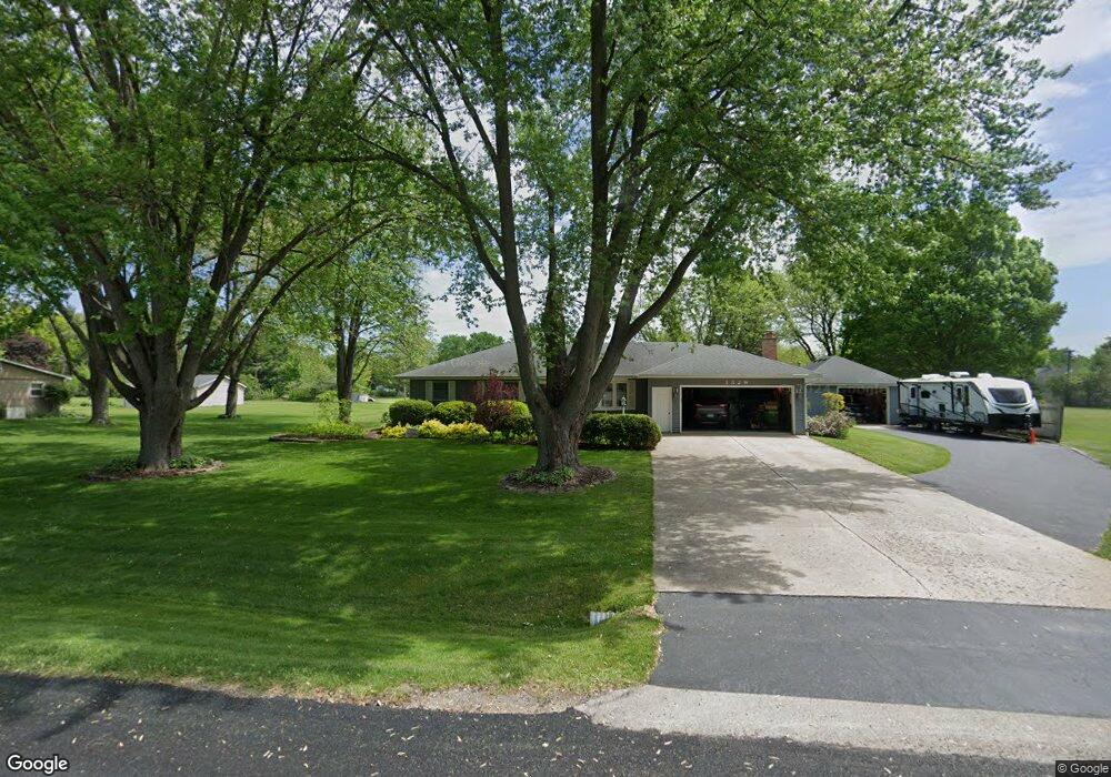
132 W Rickard Dr Oswego, IL 60543
Bristol-Kendall County NeighborhoodEstimated Value: $333,357 - $414,000
3
Beds
1
Bath
1,484
Sq Ft
$245/Sq Ft
Est. Value
About This Home
This home is located at 132 W Rickard Dr, Oswego, IL 60543 and is currently estimated at $364,089, approximately $245 per square foot. 132 W Rickard Dr is a home located in Kendall County with nearby schools including Grande Reserve Elementary School, Yorkville Middle School, and Yorkville High School.
Ownership History
Date
Name
Owned For
Owner Type
Purchase Details
Closed on
Jul 25, 2017
Sold by
Drew James M and Drew Mary
Bought by
Drew Mary and The Mary Drew Trust
Current Estimated Value
Purchase Details
Closed on
Jul 1, 1990
Bought by
Drew James and Drew Mary
Create a Home Valuation Report for This Property
The Home Valuation Report is an in-depth analysis detailing your home's value as well as a comparison with similar homes in the area
Home Values in the Area
Average Home Value in this Area
Purchase History
| Date | Buyer | Sale Price | Title Company |
|---|---|---|---|
| Drew Mary | -- | Attorney | |
| Drew James | $116,000 | -- |
Source: Public Records
Mortgage History
| Date | Status | Borrower | Loan Amount |
|---|---|---|---|
| Closed | Drew James | -- |
Source: Public Records
Tax History Compared to Growth
Tax History
| Year | Tax Paid | Tax Assessment Tax Assessment Total Assessment is a certain percentage of the fair market value that is determined by local assessors to be the total taxable value of land and additions on the property. | Land | Improvement |
|---|---|---|---|---|
| 2024 | $6,583 | $92,360 | $15,249 | $77,111 |
| 2023 | $5,968 | $82,464 | $13,615 | $68,849 |
| 2022 | $5,968 | $74,865 | $12,360 | $62,505 |
| 2021 | $5,753 | $71,050 | $12,360 | $58,690 |
| 2020 | $5,632 | $68,793 | $12,360 | $56,433 |
| 2019 | $5,559 | $66,789 | $12,000 | $54,789 |
| 2018 | $5,216 | $61,871 | $12,000 | $49,871 |
| 2017 | $5,111 | $58,177 | $12,000 | $46,177 |
| 2016 | $4,782 | $53,158 | $13,695 | $39,463 |
| 2015 | $4,461 | $48,033 | $12,425 | $35,608 |
| 2014 | -- | $46,663 | $12,425 | $34,238 |
| 2013 | -- | $46,663 | $12,425 | $34,238 |
Source: Public Records
Map
Nearby Homes
- 3199 Grande Trail
- 3197 Grande Trail
- 3195 Grande Trail
- 3193 Grande Trail
- 3191 Grande Trail
- 3187 Grande Trail
- 3185 Grande Trail
- 3183 Grande Trail
- 3181 Grande Trail
- 3187 Grande Trail
- 3183 Grande Trail
- 3181 Grande Trail
- 3179 Grande Trail
- 3199 Grande Trail
- 3179 Grande Trail
- 3068 Grande Trail
- 2261 Cryder Ct
- 2721 Berrywood Ln
- 517 Meadowwood Ln Unit 3
- 3098 Constitution Way
- 122 W Rickard Dr
- 142 W Rickard Dr
- 131 W Rickard Dr
- 125 W Rickard Dr
- 141 W Rickard Dr
- 144 W Rickard Dr
- 113 E Rickard Dr
- 147 W Rickard Dr
- 115 W Rickard Dr
- 2463 Justice Ct
- 107 E Rickard Dr
- 3126 Justice Dr
- 97 E Rickard Dr
- 108 W Rickard Dr
- 119 E Rickard Dr
- 154 W Rickard Dr
- 3128 Justice Dr
- 109 W Rickard Dr
- 155 W Rickard Dr