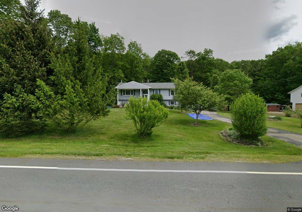
132 Wantage Ave Branchville, NJ 07826
Estimated Value: $431,000 - $605,000
--
Bed
--
Bath
2,060
Sq Ft
$242/Sq Ft
Est. Value
About This Home
This home is located at 132 Wantage Ave, Branchville, NJ 07826 and is currently estimated at $497,795, approximately $241 per square foot. 132 Wantage Ave is a home located in Sussex County with nearby schools including Frankford Township School and High Point Regional High School.
Ownership History
Date
Name
Owned For
Owner Type
Purchase Details
Closed on
Jul 8, 1998
Sold by
Degroot Richard W and Degroot Teresa Ann
Bought by
Mcauliffe Cornelius G and Mcauliffe Anne W
Current Estimated Value
Home Financials for this Owner
Home Financials are based on the most recent Mortgage that was taken out on this home.
Original Mortgage
$164,000
Outstanding Balance
$33,620
Interest Rate
7.02%
Estimated Equity
$464,175
Create a Home Valuation Report for This Property
The Home Valuation Report is an in-depth analysis detailing your home's value as well as a comparison with similar homes in the area
Home Values in the Area
Average Home Value in this Area
Purchase History
| Date | Buyer | Sale Price | Title Company |
|---|---|---|---|
| Mcauliffe Cornelius G | $174,000 | -- |
Source: Public Records
Mortgage History
| Date | Status | Borrower | Loan Amount |
|---|---|---|---|
| Open | Mcauliffe Cornelius G | $164,000 |
Source: Public Records
Tax History Compared to Growth
Tax History
| Year | Tax Paid | Tax Assessment Tax Assessment Total Assessment is a certain percentage of the fair market value that is determined by local assessors to be the total taxable value of land and additions on the property. | Land | Improvement |
|---|---|---|---|---|
| 2025 | $6,406 | $215,400 | $76,700 | $138,700 |
| 2024 | $6,214 | $215,400 | $76,700 | $138,700 |
| 2023 | $6,214 | $215,400 | $76,700 | $138,700 |
| 2022 | $6,064 | $215,400 | $76,700 | $138,700 |
| 2021 | $5,880 | $215,400 | $76,700 | $138,700 |
| 2020 | $5,712 | $215,400 | $76,700 | $138,700 |
| 2019 | $5,551 | $215,400 | $76,700 | $138,700 |
| 2018 | $5,499 | $215,400 | $76,700 | $138,700 |
| 2017 | $5,480 | $215,400 | $76,700 | $138,700 |
| 2016 | $5,549 | $215,400 | $76,700 | $138,700 |
| 2015 | $5,521 | $215,400 | $76,700 | $138,700 |
| 2014 | $5,648 | $215,400 | $76,700 | $138,700 |
Source: Public Records
Map
Nearby Homes
- 64 Mattison Rd
- 99 Phillips Rd
- 80, 82 George Hill Rd
- 127 E Shore Culver Rd
- 83 Hyatt Rd
- 30 - 31 E Shore Culver Rd
- 20 Pines Rd
- 26 Dickerson Rd
- 78 E Shore Culver Rd
- 515 Kemah Lake Rd
- 216 Mattison Reservoir Ave
- 220 Mattison Reservoir Ave
- 7 Stempert Rd
- 10 Lakewood Trail
- 1 Lakeview Point Ave
- 29 Plains Rd
- 23 Plains Rd
- 15 Forest St
- 19 Dalrymple Rd
- 59 Newton Ave
- 130 Wantage Ave
- 134 Wantage Ave
- 126 Wantage Ave
- 119 Wantage Ave
- 124 Wantage Ave
- 117 Wantage Ave
- 115 Wantage Ave
- 138 Wantage Ave
- 122 Wantage Ave
- 128 Wantage Ave
- 120 Wantage Ave
- 111 Wantage Ave
- 14 Perry Rd
- 8 Cassandra Ct
- 18 Perry Rd
- 116 Wantage Ave
- 55 Phillips Rd
- 107 Wantage Ave
- 114 Wantage Ave
- 12 Perry Rd