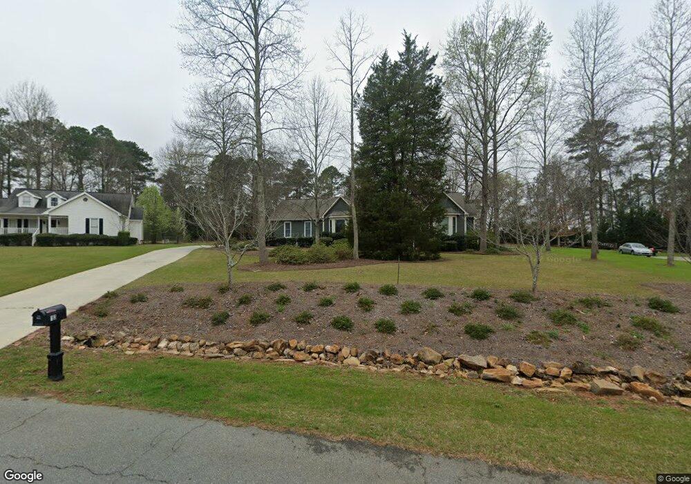
132 White Pine Ct Macon, GA 31216
Estimated Value: $277,000 - $284,000
4
Beds
3
Baths
2,284
Sq Ft
$123/Sq Ft
Est. Value
About This Home
This home is located at 132 White Pine Ct, Macon, GA 31216 and is currently estimated at $279,874, approximately $122 per square foot. 132 White Pine Ct is a home located in Bibb County with nearby schools including Porter Elementary School, Rutland Middle School, and Rutland High School.
Ownership History
Date
Name
Owned For
Owner Type
Purchase Details
Closed on
Aug 19, 1988
Sold by
Southridge Dev Inc
Bought by
Vitale John G - Brenda T
Current Estimated Value
Create a Home Valuation Report for This Property
The Home Valuation Report is an in-depth analysis detailing your home's value as well as a comparison with similar homes in the area
Purchase History
| Date | Buyer | Sale Price | Title Company |
|---|---|---|---|
| Vitale John G - Brenda T | $114,400 | -- |
Source: Public Records
Tax History
| Year | Tax Paid | Tax Assessment Tax Assessment Total Assessment is a certain percentage of the fair market value that is determined by local assessors to be the total taxable value of land and additions on the property. | Land | Improvement |
|---|---|---|---|---|
| 2025 | -- | $102,084 | $16,000 | $86,084 |
| 2024 | -- | $102,108 | $16,000 | $86,108 |
| 2023 | $0 | $94,968 | $16,000 | $78,968 |
| 2022 | $3,263 | $85,875 | $10,440 | $75,435 |
| 2021 | $2,778 | $73,106 | $10,440 | $62,666 |
| 2020 | $2,523 | $63,140 | $8,874 | $54,266 |
| 2019 | $2,523 | $63,140 | $8,874 | $54,266 |
| 2018 | $180 | $59,254 | $8,874 | $50,380 |
| 2017 | $1,958 | $59,254 | $8,874 | $50,380 |
| 2016 | $1,694 | $55,956 | $8,352 | $47,604 |
| 2015 | $2,378 | $55,542 | $8,352 | $47,190 |
| 2014 | $2,488 | $57,710 | $8,352 | $49,358 |
Source: Public Records
Map
Nearby Homes
- 141 Bransford Dr
- 221 Pendleton Ct
- 4005 Springhead Way Unit LOT 100
- 4003 Springhead Way Unit LOT 101
- 4009 Springhead Way Unit LOT 98
- 4001 Springhead Way Unit LOT 102
- 180 Ridge Cir
- 1013 Homestead Dr Unit HI199
- 1015 Homestead Dr Unit HI200
- 1017 Homestead Dr Unit HI201
- 104 Tyler Ct
- 3906 Hartley Bridge Rd
- 106 Hudson Way
- 3812 Western Way
- 123 Hudson Way
- 1066 Alma Dr
- 5731 School Rd
- 3636 Bonanza Dr
- 5514 Bankston Lake Rd
- 5524 Bankston Lake Rd
- 136 White Pine Ct
- 128 White Pine Ct
- 129 White Pine Ct
- 124 White Pine Ct
- 140 White Pine Ct
- 121 White Pine Ct
- 405 Bransford Cir
- 408 Bransford Cir
- 129 Bransford Dr
- 117 White Pine Ct
- 133 Bransford Dr
- 0 White Pine Ct Unit 159141
- 404 Bransford Cir
- 137 Bransford Dr
- 208 Ridge Ct
- 113 White Pine Ct
- 125 Bransford Dr
- 112 White Pine Ct
- 206 Ridge Ct
Your Personal Tour Guide
Ask me questions while you tour the home.