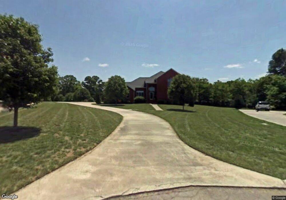
132 Whites Point Dr Cookeville, TN 38506
Estimated Value: $522,000 - $604,000
--
Bed
3
Baths
3,068
Sq Ft
$188/Sq Ft
Est. Value
About This Home
This home is located at 132 Whites Point Dr, Cookeville, TN 38506 and is currently estimated at $577,437, approximately $188 per square foot. 132 Whites Point Dr is a home located in Putnam County with nearby schools including Capshaw Elementary School, Cookeville High School, and Avery Trace Middle School.
Ownership History
Date
Name
Owned For
Owner Type
Purchase Details
Closed on
Aug 19, 2024
Sold by
Bruzda Anna L and Bruzda John Robert
Bought by
Dimond Douglas Earl and Dimond Melanie Lane
Current Estimated Value
Home Financials for this Owner
Home Financials are based on the most recent Mortgage that was taken out on this home.
Original Mortgage
$240,000
Outstanding Balance
$221,283
Interest Rate
6.95%
Mortgage Type
New Conventional
Estimated Equity
$356,154
Purchase Details
Closed on
Sep 17, 2001
Sold by
Powell Michael D and Powell Alice W
Bought by
Bruzda John R and Bruzda Anna L
Home Financials for this Owner
Home Financials are based on the most recent Mortgage that was taken out on this home.
Original Mortgage
$122,800
Interest Rate
6.89%
Purchase Details
Closed on
Sep 9, 1996
Sold by
Copeland Harold E
Bought by
Powell Michael D and Powell Alice
Purchase Details
Closed on
Nov 19, 1993
Bought by
Copeland Harold E and Hall Aaron D
Purchase Details
Closed on
Jun 29, 1990
Bought by
Point Development Company
Create a Home Valuation Report for This Property
The Home Valuation Report is an in-depth analysis detailing your home's value as well as a comparison with similar homes in the area
Home Values in the Area
Average Home Value in this Area
Purchase History
| Date | Buyer | Sale Price | Title Company |
|---|---|---|---|
| Dimond Douglas Earl | $540,000 | None Listed On Document | |
| Bruzda John R | $262,800 | -- | |
| Powell Michael D | $16,950 | -- | |
| Copeland Harold E | $152,400 | -- | |
| Point Development Company | -- | -- |
Source: Public Records
Mortgage History
| Date | Status | Borrower | Loan Amount |
|---|---|---|---|
| Open | Dimond Douglas Earl | $240,000 | |
| Previous Owner | Point Development Company | $122,800 |
Source: Public Records
Tax History Compared to Growth
Tax History
| Year | Tax Paid | Tax Assessment Tax Assessment Total Assessment is a certain percentage of the fair market value that is determined by local assessors to be the total taxable value of land and additions on the property. | Land | Improvement |
|---|---|---|---|---|
| 2024 | $2,647 | $99,500 | $7,075 | $92,425 |
| 2023 | $2,647 | $99,500 | $7,075 | $92,425 |
| 2022 | $2,461 | $99,575 | $7,075 | $92,500 |
| 2021 | $2,461 | $99,575 | $7,075 | $92,500 |
| 2020 | $1,972 | $99,575 | $7,075 | $92,500 |
| 2019 | $1,972 | $67,400 | $7,075 | $60,325 |
| 2018 | $1,840 | $67,400 | $7,075 | $60,325 |
| 2017 | $1,840 | $67,400 | $7,075 | $60,325 |
| 2016 | $1,840 | $67,400 | $7,075 | $60,325 |
| 2015 | $1,891 | $67,400 | $7,075 | $60,325 |
| 2014 | $1,972 | $70,299 | $0 | $0 |
Source: Public Records
Map
Nearby Homes
- 0 Whites Point Dr Unit 239313
- 2100 Pinnacle View
- 0 Mountain Top Ln
- 488 S Plantation Dr
- 546 Geeseway Dr
- 484 S Plantation Dr
- 461 S Plantation Dr
- 0 S Plantation Dr
- 143 Old Qualls Rd
- 333 New Heritage Dr
- 3447 Shenandoah Ln
- 322 New Heritage Dr
- 3524 Heritage Green Way
- 3516 Heritage Green Way
- 167 Parragon Rd
- 0 Burton Cove Rd
- 1500 N Plantation Dr
- 1566 N Plantation Dr
- 132 White's Point Dr
- 136 Whites Point Dr
- 128 Whites Point Dr
- 135 Mountain Top Ln
- 131 Mountain Top Ln
- 124 Whites Point Dr
- 124 White's Point Dr
- 127 Mountain Top Ln
- 141 Whites Point Dr
- 141 White's Point Dr
- 120 Whites Point Dr
- 123 Mountain Top Ln
- 133 White's Point Dr
- 133 Whites Pointe
- 133 Whites Point Dr
- 149 White's Point Dr
- 373 Mountain Top Ln
- 351 Mountain Top Ln
- 149 Whites Point Dr
- 144 Whites Point Dr