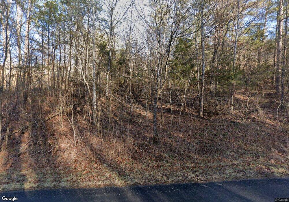
1320 Black Rd Dandridge, TN 37725
Estimated Value: $258,984 - $328,000
3
Beds
2
Baths
1,632
Sq Ft
$177/Sq Ft
Est. Value
About This Home
This home is located at 1320 Black Rd, Dandridge, TN 37725 and is currently estimated at $288,746, approximately $176 per square foot. 1320 Black Rd is a home located in Jefferson County.
Ownership History
Date
Name
Owned For
Owner Type
Purchase Details
Closed on
Oct 11, 2016
Sold by
Westphal Thomas Arnold
Bought by
Westphal Thomas Arnold
Current Estimated Value
Purchase Details
Closed on
Mar 25, 2016
Sold by
Wightman Lea Ann
Bought by
Westphal Thomas A and Westphal Thomas A
Purchase Details
Closed on
Aug 24, 2015
Sold by
Strandberg Jonathan
Bought by
Wightman Lea Ann
Purchase Details
Closed on
Aug 5, 2011
Sold by
Wrightman Lea Ann
Bought by
Strandberg Jonathan and Strandberg Robin
Purchase Details
Closed on
Jul 14, 2009
Sold by
Zaharee Donald J
Bought by
Wightman Lea Ann
Purchase Details
Closed on
Sep 16, 2008
Sold by
Brown Michael
Bought by
Zaharee Donald J
Purchase Details
Closed on
Dec 20, 2000
Sold by
Dale Meade
Bought by
Michael Brown
Purchase Details
Closed on
Oct 12, 2000
Bought by
Brown Michael and Jackson Michaelann
Purchase Details
Closed on
Jul 13, 2000
Bought by
Meade Dale L
Create a Home Valuation Report for This Property
The Home Valuation Report is an in-depth analysis detailing your home's value as well as a comparison with similar homes in the area
Home Values in the Area
Average Home Value in this Area
Purchase History
| Date | Buyer | Sale Price | Title Company |
|---|---|---|---|
| Westphal Thomas Arnold | -- | -- | |
| Westphal Thomas A | $115,000 | -- | |
| Wightman Lea Ann | -- | -- | |
| Strandberg Jonathan | -- | -- | |
| Wightman Lea Ann | -- | -- | |
| Zaharee Donald J | $85,000 | -- | |
| Michael Brown | $8,500 | -- | |
| Brown Michael | $8,500 | -- | |
| Meade Dale L | $19,300 | -- |
Source: Public Records
Tax History Compared to Growth
Tax History
| Year | Tax Paid | Tax Assessment Tax Assessment Total Assessment is a certain percentage of the fair market value that is determined by local assessors to be the total taxable value of land and additions on the property. | Land | Improvement |
|---|---|---|---|---|
| 2025 | $497 | $49,150 | $7,250 | $41,900 |
| 2023 | $497 | $21,625 | $0 | $0 |
| 2022 | $474 | $21,625 | $4,225 | $17,400 |
| 2021 | $474 | $21,625 | $4,225 | $17,400 |
| 2020 | $474 | $21,625 | $4,225 | $17,400 |
| 2019 | $474 | $21,625 | $4,225 | $17,400 |
| 2018 | $432 | $18,400 | $3,625 | $14,775 |
| 2017 | $432 | $18,400 | $3,625 | $14,775 |
| 2016 | $432 | $18,400 | $3,625 | $14,775 |
| 2015 | $432 | $18,400 | $3,625 | $14,775 |
| 2014 | $432 | $18,400 | $3,625 | $14,775 |
Source: Public Records
Map
Nearby Homes
- 121 Tacoma Way
- 1786 Fain Cemetery Rd
- 813 Hide a Way Rd
- 343 Bungalow Dr
- 1263 Harbin Rd
- 2050 Cook Mill Rd
- 596 Autumn Ridge Way
- 522 Conley Trail
- 535 Conley Trail
- 970 Douglas Dam Rd Unit 6
- 2841 Holiday Hills Rd
- 849 Harvest Meadows Dr
- 835 Holbert Ln
- 3149 Mutton Hollow Rd
- 802 Holbert Ln
- 1570 W Dumplin Valley Rd
- 810 Harvest Meadows Dr
- 838 Pinnacle Dr
- 1316 Black Rd
- 1328 Black Rd
- Black Rd
- 218 Saint Helen's Way
- 1562 Trig Long Rd
- 1924 Sockless Rd
- 1548 Trig Long Rd
- 1552 Trig Long Rd
- 1036 Rainier Way
- 1856 Sockless Rd
- 2040 Sockless Rd
- 1556 Trig Long Rd
- 1260 Black Rd
- 1275 Black Rd
- 1528 Trig Long Rd
- 1926 Sockless Rd
- 1560 Trig Long Rd
- 1524 Trig Long Rd
- 2036 Sockless Rd
- 1508 Trig Long Rd
