1320 Embassy Dr Anderson, SC 29625
Estimated Value: $271,000 - $385,000
Studio
--
Bath
1,100
Sq Ft
$302/Sq Ft
Est. Value
About This Home
This home is located at 1320 Embassy Dr, Anderson, SC 29625 and is currently estimated at $332,177, approximately $301 per square foot. 1320 Embassy Dr is a home with nearby schools including Pendleton High School.
Ownership History
Date
Name
Owned For
Owner Type
Purchase Details
Closed on
Jul 9, 2025
Sold by
Rowland Larry M
Bought by
Lmrjr Revocable Trust and Rowland
Current Estimated Value
Purchase Details
Closed on
Nov 20, 2020
Sold by
Rowland Larry M
Bought by
Rowland Harrison B
Purchase Details
Closed on
Nov 26, 2019
Sold by
Rowland Larry M
Bought by
Rowland Larry M
Purchase Details
Closed on
Oct 12, 2018
Sold by
Estate Of James William Hellams
Bought by
Rowland Larry M
Create a Home Valuation Report for This Property
The Home Valuation Report is an in-depth analysis detailing your home's value as well as a comparison with similar homes in the area
Home Values in the Area
Average Home Value in this Area
Purchase History
| Date | Buyer | Sale Price | Title Company |
|---|---|---|---|
| Lmrjr Revocable Trust | -- | None Listed On Document | |
| Lmrjr Revocable Trust | -- | None Listed On Document | |
| Rowland Harrison B | -- | None Available | |
| Rowland Larry M | -- | None Available | |
| Rowland Larry M | $260,000 | None Available |
Source: Public Records
Tax History
| Year | Tax Paid | Tax Assessment Tax Assessment Total Assessment is a certain percentage of the fair market value that is determined by local assessors to be the total taxable value of land and additions on the property. | Land | Improvement |
|---|---|---|---|---|
| 2024 | $1,850 | $11,750 | $8,180 | $3,570 |
| 2023 | $3,819 | $11,750 | $8,180 | $3,570 |
| 2022 | $1,621 | $11,750 | $8,180 | $3,570 |
| 2021 | $1,452 | $10,390 | $7,440 | $2,950 |
| 2020 | $1,431 | $10,390 | $7,440 | $2,950 |
| 2019 | $5,155 | $15,580 | $11,160 | $4,420 |
| 2018 | $2,522 | $15,580 | $11,160 | $4,420 |
| 2017 | -- | $15,580 | $11,160 | $4,420 |
| 2016 | $2,152 | $16,340 | $11,880 | $4,460 |
| 2015 | $2,157 | $16,340 | $11,880 | $4,460 |
| 2014 | $2,158 | $16,340 | $11,880 | $4,460 |
Source: Public Records
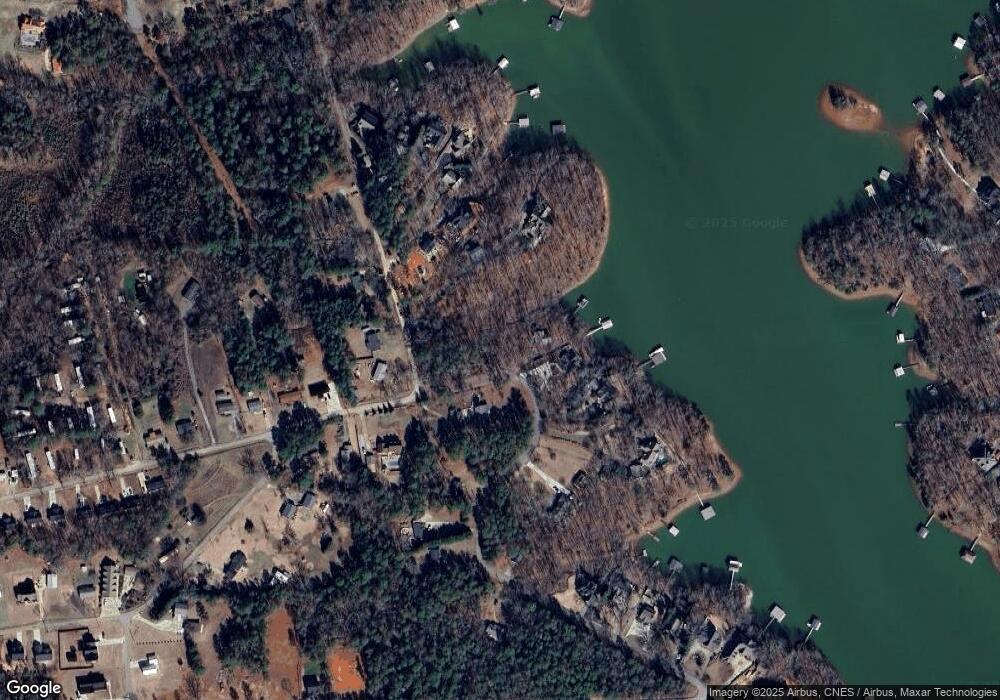
Map
Nearby Homes
- 1414 Embassy Dr
- 204 Rock Creek Rd
- 109 Kokomo Way
- 106 Topsail Dr
- 104 C-4-112a
- 1115 Hawk Harbor Dr
- 120 Pomona Dr
- 102 Topsail Dr
- 1010 Port Anne Cove
- 100 Harbor Dr
- 1515A Marina Rd
- 00 Nunnally Rd
- 309 Harbor Dr
- 2152 Deloach Dr
- 419 Fields Ave
- 104 Inlet Pointe Dr
- 105 Cliftons Landing Dr
- 3310 Centerville Rd
- 110 Crepe Myrtle Ln
- 43 Harbor Gate
- 1313 Embassy Dr
- 1314 Embassy Dr
- 221 Rock Creek Rd
- 219 Rock Creek Rd
- 228 Rock Creek Rd
- 226 Rock Creek Rd
- 1300 Embassy Dr
- 224 Rock Creek Rd
- 1221 Embassy Dr
- 1405 Embassy Dr
- 222 Rock Creek Rd
- 1218 Embassy Dr
- 217 Rock Creek Rd
- 1304 Embassy Dr
- 1304 Embassy Dr
- 1408 Embassy Dr
- 220 Rock Creek Rd
- 1407 Embassy Dr
- 1407 Embassy Dr
- 1219 Embassy Dr
Your Personal Tour Guide
Ask me questions while you tour the home.