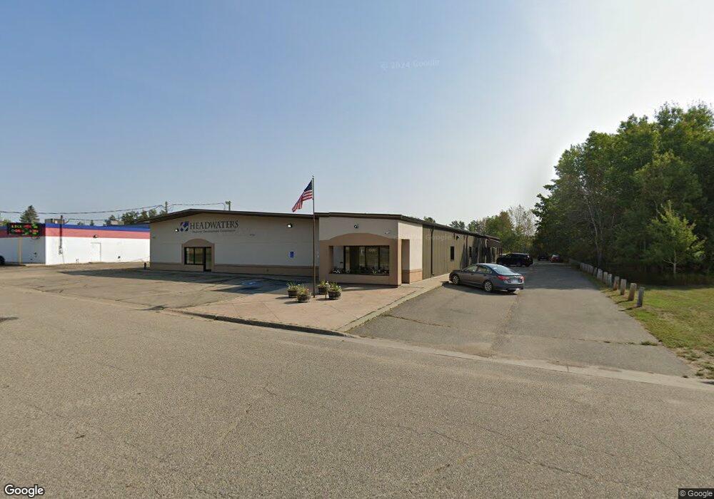
1320 Neilson Ave SE Bemidji, MN 56601
Estimated Value: $918,427
--
Bed
--
Bath
12,866
Sq Ft
$71/Sq Ft
Est. Value
About This Home
This home is located at 1320 Neilson Ave SE, Bemidji, MN 56601 and is currently estimated at $918,427, approximately $71 per square foot. 1320 Neilson Ave SE is a home located in Beltrami County with nearby schools including Horace May Elementary School, Bemidji Middle School, and Bemidji Senior High School.
Ownership History
Date
Name
Owned For
Owner Type
Purchase Details
Closed on
Jan 15, 2020
Sold by
Marcil Family Lllp
Bought by
Headwaters Regional Dev Commission
Current Estimated Value
Home Financials for this Owner
Home Financials are based on the most recent Mortgage that was taken out on this home.
Original Mortgage
$500,000
Interest Rate
3.7%
Mortgage Type
Future Advance Clause Open End Mortgage
Create a Home Valuation Report for This Property
The Home Valuation Report is an in-depth analysis detailing your home's value as well as a comparison with similar homes in the area
Home Values in the Area
Average Home Value in this Area
Purchase History
| Date | Buyer | Sale Price | Title Company |
|---|---|---|---|
| Headwaters Regional Dev Commission | $650,000 | None Available |
Source: Public Records
Mortgage History
| Date | Status | Borrower | Loan Amount |
|---|---|---|---|
| Closed | Headwaters Regional Dev Commission | $500,000 |
Source: Public Records
Tax History Compared to Growth
Tax History
| Year | Tax Paid | Tax Assessment Tax Assessment Total Assessment is a certain percentage of the fair market value that is determined by local assessors to be the total taxable value of land and additions on the property. | Land | Improvement |
|---|---|---|---|---|
| 2025 | $177 | $711,700 | $108,600 | $603,100 |
| 2024 | $172 | $726,800 | $108,600 | $618,200 |
| 2023 | $172 | $726,800 | $108,600 | $618,200 |
| 2022 | $163 | $792,900 | $108,600 | $684,300 |
| 2021 | $154 | $604,100 | $94,200 | $509,900 |
| 2019 | $15,260 | $604,100 | $94,200 | $509,900 |
| 2018 | $14,894 | $469,900 | $79,200 | $390,700 |
| 2016 | $16,468 | $472,300 | $93,600 | $378,700 |
| 2015 | $19,510 | $472,300 | $0 | $0 |
| 2014 | $19,076 | $558,400 | $0 | $0 |
| 2011 | $19,002 | $558,400 | $0 | $0 |
Source: Public Records
Map
Nearby Homes
- 1917 Washington Ave S
- TBD Moonlight Ln SW
- 317 Rako St SW
- 311 Roosevelt Rd SW
- 506 6th St SE
- 302 Shortcut Ln SW
- 501 Central Ave SE
- 415 Central Ave SE
- 917 6th St SE
- 619 3rd St SE
- 1201 2nd St SE
- 729 Lake Ave SE
- L1B8 Grant Ave NE
- L1B5 Lake Shore Dr NE
- L1B3 Lake Shore Dr NE
- L3B3 Lake Shore Dr NE
- 715 Lake Shore Dr NE Unit 109
- 715 Lake Shore Dr NE Unit 205
- 715 Lake Shore Dr NE Unit 105
- 715 Lake Shore Dr NE Unit 201
- 423 Pioneer St SE
- 1321 Exchange Ave SE
- 1026 Washington Ave S
- 1020 Washington Ave S
- 540 Mahnomen Dr SE
- 1000 Washington Ave S
- 112 Southview Terrace
- 1260 Exchange Ave SE
- 1019 Washington Ave S
- TBD Pioneer St SE
- 1260 Industrial Park Dr SE
- 1260 Industrial Park Dr SE
- 1012 1012 Washington Ave
- 1012 Washington Ave S
- 1008 Washington Ave S
- 650 Industrial Park Dr SE
- 1018 Washington Ave S
- 1006 Washington Ave S
- 1011 Washington Ave S
- 0 Washington Ave S