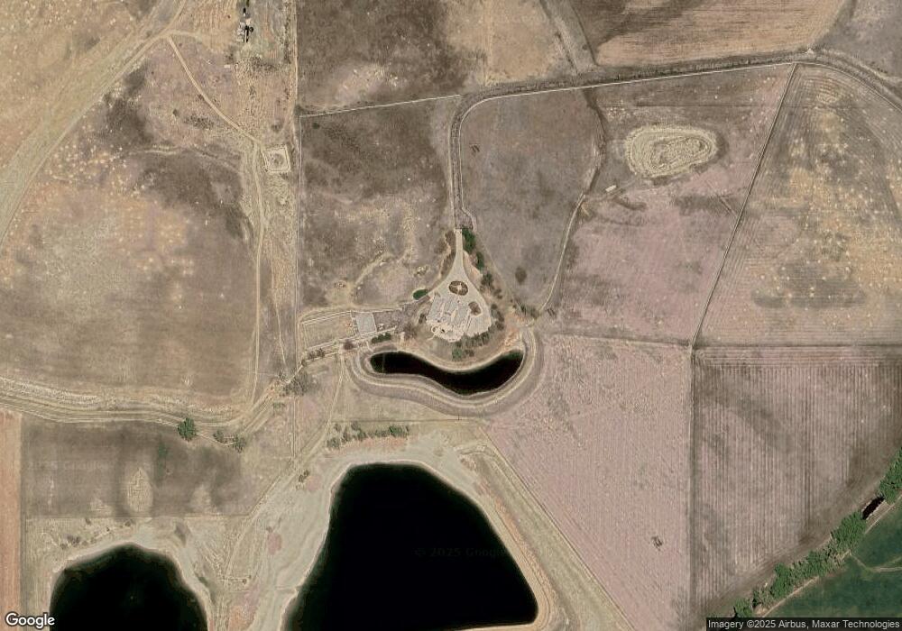
13201 N 87th St Longmont, CO 80503
Estimated Value: $2,469,000 - $4,826,928
5
Beds
7
Baths
14,155
Sq Ft
$268/Sq Ft
Est. Value
About This Home
This home is located at 13201 N 87th St, Longmont, CO 80503 and is currently estimated at $3,794,976, approximately $268 per square foot. 13201 N 87th St is a home located in Boulder County with nearby schools including Hygiene Elementary School, Westview Middle School, and Longmont High School.
Ownership History
Date
Name
Owned For
Owner Type
Purchase Details
Closed on
Sep 5, 2000
Sold by
Ballard Susan D
Bought by
Albawardi Marwan
Current Estimated Value
Home Financials for this Owner
Home Financials are based on the most recent Mortgage that was taken out on this home.
Original Mortgage
$1,500,000
Outstanding Balance
$546,567
Interest Rate
8.29%
Mortgage Type
Purchase Money Mortgage
Estimated Equity
$3,248,409
Purchase Details
Closed on
Aug 14, 2000
Sold by
Ballard Susan D
Bought by
Al Bawardi Marwan
Home Financials for this Owner
Home Financials are based on the most recent Mortgage that was taken out on this home.
Original Mortgage
$1,500,000
Outstanding Balance
$546,567
Interest Rate
8.29%
Mortgage Type
Purchase Money Mortgage
Estimated Equity
$3,248,409
Create a Home Valuation Report for This Property
The Home Valuation Report is an in-depth analysis detailing your home's value as well as a comparison with similar homes in the area
Home Values in the Area
Average Home Value in this Area
Purchase History
| Date | Buyer | Sale Price | Title Company |
|---|---|---|---|
| Albawardi Marwan | -- | -- | |
| Al Bawardi Marwan | $3,475,000 | Land Title |
Source: Public Records
Mortgage History
| Date | Status | Borrower | Loan Amount |
|---|---|---|---|
| Open | Al Bawardi Marwan | $1,500,000 |
Source: Public Records
Tax History Compared to Growth
Tax History
| Year | Tax Paid | Tax Assessment Tax Assessment Total Assessment is a certain percentage of the fair market value that is determined by local assessors to be the total taxable value of land and additions on the property. | Land | Improvement |
|---|---|---|---|---|
| 2025 | $25,719 | $200,271 | $26,702 | $173,569 |
| 2024 | $25,719 | $200,271 | $26,702 | $173,569 |
| 2023 | $25,199 | $252,888 | $19,540 | $237,033 |
| 2022 | $18,082 | $171,429 | $19,989 | $151,440 |
| 2021 | $26,890 | $268,947 | $14,471 | $254,476 |
| 2020 | $26,019 | $266,624 | $9,976 | $256,648 |
| 2019 | $25,577 | $266,624 | $9,976 | $256,648 |
| 2018 | $26,217 | $275,964 | $10,556 | $265,408 |
| 2017 | $25,543 | $303,732 | $10,556 | $293,176 |
| 2016 | $20,743 | $223,157 | $9,889 | $213,268 |
| 2015 | $18,768 | $209,411 | $8,265 | $201,146 |
| 2014 | $18,081 | $209,411 | $8,265 | $201,146 |
Source: Public Records
Map
Nearby Homes
- 13205 N 87th St
- 3119 Lake Park Way
- 12884 Anhawa Ave
- 3132 Concord Way
- 3125 Concord Way
- 2935 Bow Line Place
- 12682 Anhawa Ave
- 2292 Spinnaker Cir
- 2912 Lake Park Way
- 2401 Spindrift Dr Unit 120529205002
- 3142 Captains Ln
- 12788 Sheramdi St
- 9458 Anhawa Ave
- 9025 Woodland Rd
- 2425 Willow Ln
- 13168 N 95th St
- 2421 Maplewood Cir W
- 2410 Maplewood Cir W
- 12357 N 75th St
- 2634 Westlake Ct
- 8113 Table Mountain Ct
- 13203 N 87th St
- 8101 Table Mountain Ct
- 8110 Table Mountain Ct
- 13171 N 87th St
- 13167 N 87th St
- 13208 N 87th St
- 12973 N 87th St
- 13080 N 87th St
- 12971 N 87th St
- 13451 N 87th St
- 8011 Ute Hwy
- 13130 N 75th St
- 8253 Ute Hwy
- 8253 Ute Hwy Unit (Off Hwy)
- 8983 Prairie Knoll Dr
- 0 87th St
- 8995 Prairie Knoll Dr
- 8959 Prairie Knoll Dr
- 12759 N 87th St
