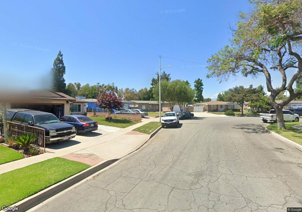
13203 Ben Nevis Ave Norwalk, CA 90650
Estimated Value: $754,000 - $794,709
3
Beds
2
Baths
1,302
Sq Ft
$589/Sq Ft
Est. Value
About This Home
This home is located at 13203 Ben Nevis Ave, Norwalk, CA 90650 and is currently estimated at $766,927, approximately $589 per square foot. 13203 Ben Nevis Ave is a home located in Los Angeles County with nearby schools including Thomas B. Moffitt Elementary School, Nettie L. Waite Middle School, and John H. Glenn High School.
Ownership History
Date
Name
Owned For
Owner Type
Purchase Details
Closed on
Oct 11, 2017
Sold by
Hess Leo C and Dorothy Hess Family Trust
Bought by
Hess Leo C and Hess Anita L
Current Estimated Value
Home Financials for this Owner
Home Financials are based on the most recent Mortgage that was taken out on this home.
Original Mortgage
$350,274
Interest Rate
4.5%
Mortgage Type
FHA
Purchase Details
Closed on
Nov 27, 1995
Sold by
Hess Dorothy M
Bought by
The Dorothy Hess Family Trust
Create a Home Valuation Report for This Property
The Home Valuation Report is an in-depth analysis detailing your home's value as well as a comparison with similar homes in the area
Home Values in the Area
Average Home Value in this Area
Purchase History
| Date | Buyer | Sale Price | Title Company |
|---|---|---|---|
| Hess Leo C | $350,000 | Western Resources Title | |
| The Dorothy Hess Family Trust | -- | -- |
Source: Public Records
Mortgage History
| Date | Status | Borrower | Loan Amount |
|---|---|---|---|
| Closed | Hess Leo C | $350,274 |
Source: Public Records
Tax History Compared to Growth
Tax History
| Year | Tax Paid | Tax Assessment Tax Assessment Total Assessment is a certain percentage of the fair market value that is determined by local assessors to be the total taxable value of land and additions on the property. | Land | Improvement |
|---|---|---|---|---|
| 2025 | $1,490 | $70,634 | $27,031 | $43,603 |
| 2024 | $1,490 | $69,250 | $26,501 | $42,749 |
| 2023 | $1,455 | $67,893 | $25,982 | $41,911 |
| 2022 | $1,431 | $66,563 | $25,473 | $41,090 |
| 2021 | $1,407 | $65,259 | $24,974 | $40,285 |
| 2019 | $6,524 | $496,740 | $346,800 | $149,940 |
| 2018 | $6,260 | $487,000 | $340,000 | $147,000 |
| 2016 | $1,088 | $59,676 | $22,838 | $36,838 |
| 2015 | $1,075 | $58,780 | $22,495 | $36,285 |
| 2014 | $1,033 | $57,630 | $22,055 | $35,575 |
Source: Public Records
Map
Nearby Homes
- 12947 Foster Rd
- 13624 Greenstone Ave
- 13071 Miller Ave
- 12742 Dilworth St
- 12737 Rosecrans Ave Unit 71
- 13213 Leffingwell Rd
- 12874 Sycamore Village Dr
- 12344 Spry St
- 14516 Maryton Ave
- 14519 Dinard Ave
- 11820 Painter Ave
- 12161 Firestone Blvd
- 12235 Pine St Unit 5
- 13513 Leffingwell Rd
- 11828 Louis Ave
- 12209 Rosecrans Ave
- 13272 Beaty Ave
- 12012 Sproul St Unit 1/2
- 13709 Clarkdale Ave Unit A
- 14808 Dartmoor Ave
- 12903 Priscilla St
- 13205 Ben Nevis Ave
- 13211 Ben Nevis Ave
- 12907 Priscilla St
- 13202 Greenstone Ave
- 13204 Greenstone Ave
- 13215 Ben Nevis Ave
- 12911 Priscilla St
- 13208 Greenstone Ave
- 12906 Priscilla St
- 13221 Ben Nevis Ave
- 12855 Priscilla St
- 12910 Priscilla St
- 13214 Greenstone Ave
- 12917 Priscilla St
- 13220 Greenstone Ave
- 12916 Priscilla St
- 13227 Ben Nevis Ave
- 12903 Belcher St
- 12921 Priscilla St