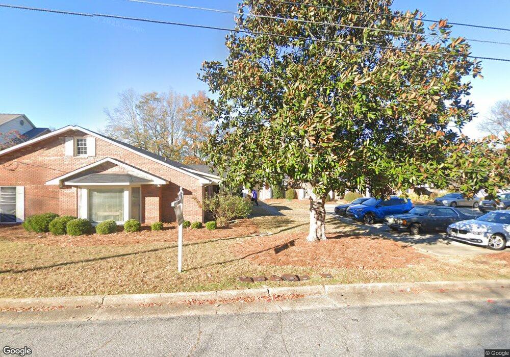
1321 10th St Unit 1 Columbus, GA 31906
Wynns Hill NeighborhoodEstimated Value: $125,000 - $180,000
2
Beds
2
Baths
1,384
Sq Ft
$106/Sq Ft
Est. Value
About This Home
This home is located at 1321 10th St Unit 1, Columbus, GA 31906 and is currently estimated at $147,391, approximately $106 per square foot. 1321 10th St Unit 1 is a home located in Muscogee County with nearby schools including Baker Middle School, Jordan Vocational High School, and Wynnton Elementary School.
Ownership History
Date
Name
Owned For
Owner Type
Purchase Details
Closed on
Mar 21, 2008
Sold by
Turner Denton J and Scott Margaret T
Bought by
Riley Robert
Current Estimated Value
Home Financials for this Owner
Home Financials are based on the most recent Mortgage that was taken out on this home.
Original Mortgage
$93,500
Outstanding Balance
$58,061
Interest Rate
5.68%
Mortgage Type
Purchase Money Mortgage
Estimated Equity
$89,330
Purchase Details
Closed on
Aug 9, 2007
Sold by
Turner Denton J
Bought by
Turner Denton J
Create a Home Valuation Report for This Property
The Home Valuation Report is an in-depth analysis detailing your home's value as well as a comparison with similar homes in the area
Home Values in the Area
Average Home Value in this Area
Purchase History
| Date | Buyer | Sale Price | Title Company |
|---|---|---|---|
| Riley Robert | $93,500 | None Available | |
| Turner Denton J | -- | None Available |
Source: Public Records
Mortgage History
| Date | Status | Borrower | Loan Amount |
|---|---|---|---|
| Open | Riley Robert | $93,500 |
Source: Public Records
Tax History Compared to Growth
Tax History
| Year | Tax Paid | Tax Assessment Tax Assessment Total Assessment is a certain percentage of the fair market value that is determined by local assessors to be the total taxable value of land and additions on the property. | Land | Improvement |
|---|---|---|---|---|
| 2025 | $1,010 | $46,541 | $10,008 | $36,533 |
| 2024 | $1,009 | $46,541 | $10,008 | $36,533 |
| 2023 | $321 | $46,541 | $10,008 | $36,533 |
| 2022 | $1,052 | $38,107 | $10,008 | $28,099 |
| 2021 | $1,045 | $35,560 | $10,008 | $25,552 |
| 2020 | $1,046 | $35,560 | $10,008 | $25,552 |
| 2019 | $1,051 | $35,560 | $10,008 | $25,552 |
| 2018 | $1,051 | $35,560 | $10,008 | $25,552 |
| 2017 | $1,056 | $35,560 | $10,008 | $25,552 |
| 2016 | $1,058 | $35,091 | $6,272 | $28,819 |
| 2015 | $1,063 | $38,996 | $8,272 | $30,724 |
| 2014 | $1,065 | $38,996 | $8,272 | $30,724 |
| 2013 | -- | $38,996 | $8,272 | $30,724 |
Source: Public Records
Map
Nearby Homes
- 1001 Blandford Ave
- 911 Oakview Ave
- 912 Magnolia Ave
- 1103 Martin Luther King Junior Blvd
- 1503 Crest Dr
- 2551 Wynnton Rd
- 1616 Crest Dr
- 1811 Park Dr
- 1226 18th Ave Unit A/B
- 1242 18th Ave
- 1516 Shepherd Dr
- 1820 Overlook St
- 752 Portland Ave
- 2039 8th St
- 1917 Dimon St
- 1315 Eberhart Ave
- 2005 7th St
- 1342 16th St
- 1033 Britt Ave
- 745 Brown Ave
- 1321 10th St
- 1321 10th St Unit 6
- 1321 10th St Unit 5
- 1321 10th St Unit 4
- 1321 10th St Unit 3
- 1321 10th St Unit 2
- 1321 10th St
- 1313 10th St
- 1311 10th St
- 1309 10th St
- 1007 Blandford Ave
- 1305 10th St
- 1011 Blandford Ave
- 1303 10th St
- 943 Blandford Ave
- 1316 10th St
- 1301 10th St
- 1320 10th St
- 1306 10th St
- 934 Cooper Ave