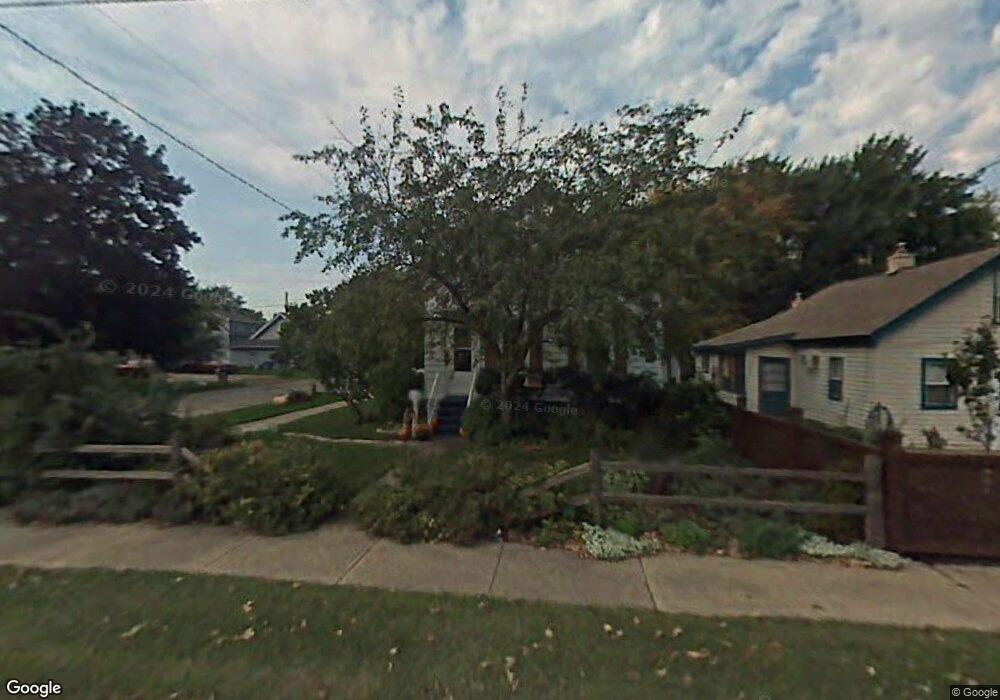
1321 Broad St Oshkosh, WI 54901
Midtown NeighborhoodEstimated Value: $119,000 - $156,000
2
Beds
1
Bath
989
Sq Ft
$145/Sq Ft
Est. Value
About This Home
This home is located at 1321 Broad St, Oshkosh, WI 54901 and is currently estimated at $143,536, approximately $145 per square foot. 1321 Broad St is a home located in Winnebago County with nearby schools including Emmeline Cook Elementary School, North High School, and Trinity Lutheran School.
Ownership History
Date
Name
Owned For
Owner Type
Purchase Details
Closed on
Nov 24, 2020
Sold by
Estate Of Gwen Doly M Pearson
Bought by
Kelly Terrell H
Current Estimated Value
Purchase Details
Closed on
Jun 2, 2006
Sold by
Tr Bank One Na
Bought by
Pearson Gwendolyn M
Home Financials for this Owner
Home Financials are based on the most recent Mortgage that was taken out on this home.
Original Mortgage
$33,853
Interest Rate
6.72%
Mortgage Type
New Conventional
Create a Home Valuation Report for This Property
The Home Valuation Report is an in-depth analysis detailing your home's value as well as a comparison with similar homes in the area
Home Values in the Area
Average Home Value in this Area
Purchase History
| Date | Buyer | Sale Price | Title Company |
|---|---|---|---|
| Kelly Terrell H | $33,401 | None Available | |
| Pearson Gwendolyn M | $34,900 | None Available |
Source: Public Records
Mortgage History
| Date | Status | Borrower | Loan Amount |
|---|---|---|---|
| Previous Owner | Pearson Gwendolyn M | $33,853 |
Source: Public Records
Tax History Compared to Growth
Tax History
| Year | Tax Paid | Tax Assessment Tax Assessment Total Assessment is a certain percentage of the fair market value that is determined by local assessors to be the total taxable value of land and additions on the property. | Land | Improvement |
|---|---|---|---|---|
| 2024 | $2,104 | $106,400 | $15,000 | $91,400 |
| 2023 | $1,762 | $58,300 | $8,800 | $49,500 |
| 2022 | $1,803 | $58,300 | $8,800 | $49,500 |
| 2021 | $1,300 | $58,300 | $8,800 | $49,500 |
| 2020 | $1,761 | $58,300 | $8,800 | $49,500 |
| 2019 | $1,791 | $58,300 | $8,800 | $49,500 |
| 2018 | $1,729 | $58,300 | $8,800 | $49,500 |
| 2017 | $1,800 | $58,300 | $8,800 | $49,500 |
| 2016 | $1,628 | $50,300 | $8,800 | $41,500 |
| 2015 | $1,686 | $50,300 | $8,800 | $41,500 |
| 2014 | $1,697 | $50,300 | $8,800 | $41,500 |
| 2013 | $1,571 | $50,300 | $8,800 | $41,500 |
Source: Public Records
Map
Nearby Homes
- 1431 Powers St
- 1333 Jefferson St
- 23 E Nevada Ave
- 15 E Nevada Ave
- 1105 Jefferson St
- 1533 Jefferson St
- 924 Grand St
- 0 Rock Place
- 1003 Evans St
- 1317 Hazel St
- 1012 Grove St
- 833 Jefferson St
- 410 E Lincoln Ave
- 1627 Kentucky St
- 0 E Gruenwald Ave
- 312 W Melvin Ave
- 844 Frederick St
- 506 W New York Ave
- 822 Oak St
- 1313 Wisconsin St