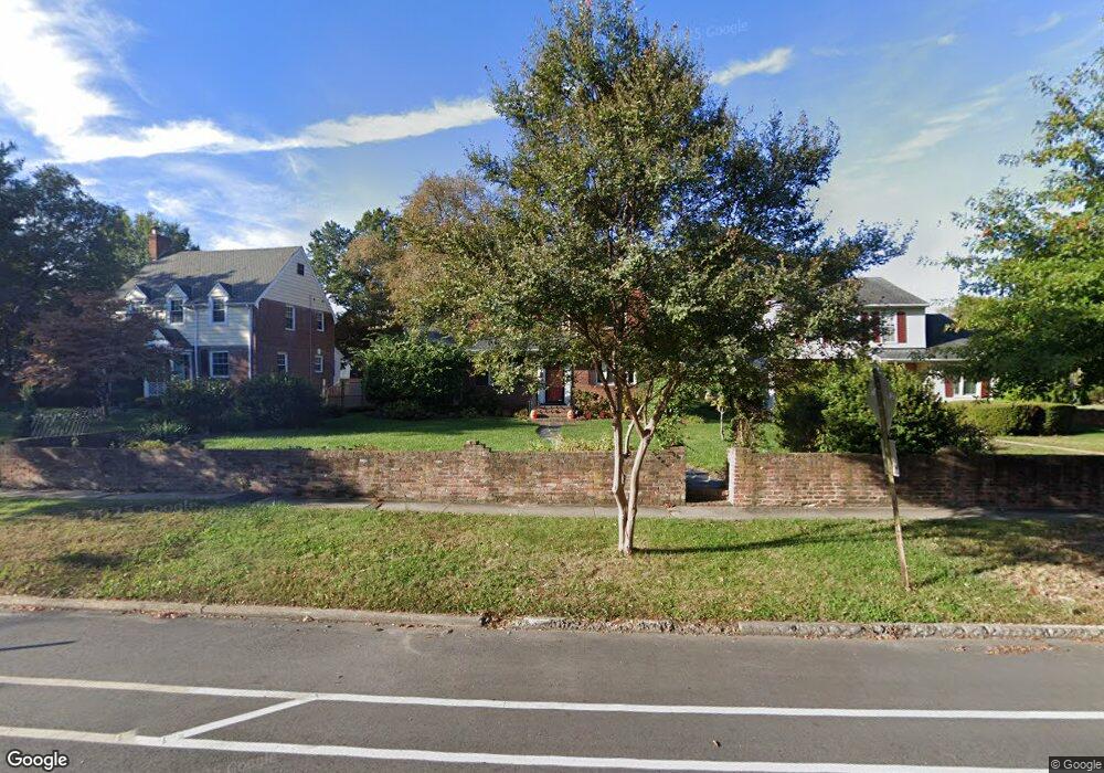
1321 Brookland Pkwy Richmond, VA 23227
Sherwood Park NeighborhoodEstimated Value: $447,673 - $530,000
3
Beds
1
Bath
1,778
Sq Ft
$271/Sq Ft
Est. Value
About This Home
This home is located at 1321 Brookland Pkwy, Richmond, VA 23227 and is currently estimated at $481,918, approximately $271 per square foot. 1321 Brookland Pkwy is a home located in Richmond City with nearby schools including Linwood Holton Elementary School, Henderson Middle School, and John Marshall High School.
Ownership History
Date
Name
Owned For
Owner Type
Purchase Details
Closed on
May 19, 2006
Sold by
Hannan Robert P
Bought by
Hannan Keli E
Current Estimated Value
Home Financials for this Owner
Home Financials are based on the most recent Mortgage that was taken out on this home.
Original Mortgage
$127,800
Outstanding Balance
$74,565
Interest Rate
6.53%
Mortgage Type
New Conventional
Estimated Equity
$407,353
Purchase Details
Closed on
Jun 22, 2001
Sold by
Sturgis Eleanor S
Bought by
Hannan Robert P and Hannan Susan
Home Financials for this Owner
Home Financials are based on the most recent Mortgage that was taken out on this home.
Original Mortgage
$100,000
Interest Rate
7.09%
Mortgage Type
New Conventional
Create a Home Valuation Report for This Property
The Home Valuation Report is an in-depth analysis detailing your home's value as well as a comparison with similar homes in the area
Home Values in the Area
Average Home Value in this Area
Purchase History
| Date | Buyer | Sale Price | Title Company |
|---|---|---|---|
| Hannan Keli E | $161,000 | -- | |
| Hannan Robert P | $158,800 | -- |
Source: Public Records
Mortgage History
| Date | Status | Borrower | Loan Amount |
|---|---|---|---|
| Open | Hannan Keli E | $127,800 | |
| Previous Owner | Hannan Robert P | $100,000 |
Source: Public Records
Tax History Compared to Growth
Tax History
| Year | Tax Paid | Tax Assessment Tax Assessment Total Assessment is a certain percentage of the fair market value that is determined by local assessors to be the total taxable value of land and additions on the property. | Land | Improvement |
|---|---|---|---|---|
| 2025 | $4,800 | $400,000 | $135,000 | $265,000 |
| 2024 | $4,656 | $388,000 | $125,000 | $263,000 |
| 2023 | $4,416 | $368,000 | $115,000 | $253,000 |
| 2022 | $3,660 | $305,000 | $70,000 | $235,000 |
| 2021 | $3,528 | $298,000 | $65,000 | $233,000 |
| 2020 | $3,528 | $294,000 | $65,000 | $229,000 |
| 2019 | $3,276 | $273,000 | $65,000 | $208,000 |
| 2018 | $3,096 | $258,000 | $65,000 | $193,000 |
| 2017 | $2,880 | $240,000 | $55,000 | $185,000 |
| 2016 | $2,664 | $222,000 | $50,000 | $172,000 |
| 2015 | $2,472 | $218,000 | $50,000 | $168,000 |
| 2014 | $2,472 | $206,000 | $50,000 | $156,000 |
Source: Public Records
Map
Nearby Homes
- 1320 Brookland Pkwy
- 3304 Loxley Rd
- 1604 Brookland Pkwy
- 1350 Westwood Ave Unit U307
- 1350 Westwood Ave Unit U703
- 1350 Westwood Ave Unit 501
- 2938 Northumberland Ave
- 1708 Westwood Ave
- 2441 Ownby Ln Unit B14
- 2912 Hawthorne Ave
- 1603 W Laburnum Ave
- 2104 Libbie Lake St W Unit B
- 1815 Seddon Rd
- 1716 Maple Shade Ln
- 1615 W Laburnum Ave
- 1323 Avondale Ave
- 1912 Elmsmere Ave
- 811 Edge Hill Rd
- Providence Plan at Mason Yards
- 1900 Roseneath Rd Unit 4B
- 1323 E Brookland Park Blvd
- 1323 Brookland Pkwy
- 1319 Brookland Pkwy
- 1324 Wentbridge Rd
- 1315 Brookland Pkwy
- 1401 Brookland Pkwy
- 1320 Wentbridge Rd
- 1400 Wentbridge Rd
- 1403 Brookland Pkwy
- 1318 Wentbridge Rd
- 1313 Brookland Pkwy
- 1324 Brookland Pkwy
- 1322 Brookland Pkwy
- 1320 Brookland Pkwy
- 1326 Brookland Pkwy
- 1402 Wentbridge Rd
- 1316 Wentbridge Rd
- 1405 Brookland Pkwy
- 1311 Brookland Pkwy
- 1318 Brookland Pkwy