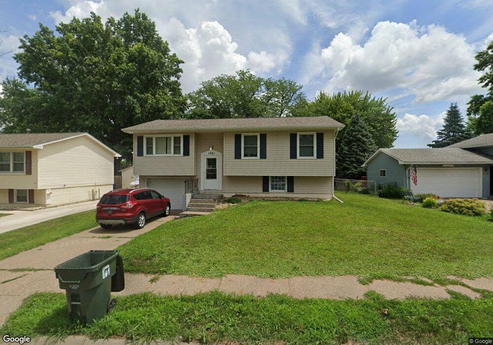
1321 Calvin St Davenport, IA 52804
Northwest Davenport NeighborhoodEstimated Value: $144,672 - $164,000
3
Beds
2
Baths
900
Sq Ft
$174/Sq Ft
Est. Value
About This Home
This home is located at 1321 Calvin St, Davenport, IA 52804 and is currently estimated at $156,918, approximately $174 per square foot. 1321 Calvin St is a home located in Scott County with nearby schools including Walnut Hill Elementary School, South Christian Elementary School, and Frank L. Smart Intermediate School.
Ownership History
Date
Name
Owned For
Owner Type
Purchase Details
Closed on
Sep 14, 2021
Sold by
Duncan Nicholas Cr and Duncan Katy J
Bought by
Duncan Nicholas Cr and Duncan Katy J
Current Estimated Value
Home Financials for this Owner
Home Financials are based on the most recent Mortgage that was taken out on this home.
Original Mortgage
$112,500
Interest Rate
3.38%
Mortgage Type
New Conventional
Purchase Details
Closed on
Jul 20, 2021
Sold by
Duncan Arthur C
Bought by
Duncan Nicholas C R and Duncan Katy J
Home Financials for this Owner
Home Financials are based on the most recent Mortgage that was taken out on this home.
Original Mortgage
$112,500
Interest Rate
3.38%
Mortgage Type
New Conventional
Purchase Details
Closed on
May 22, 2014
Sold by
Powell Gerald C and Powell Deborah A
Bought by
Duncan Arthur C
Create a Home Valuation Report for This Property
The Home Valuation Report is an in-depth analysis detailing your home's value as well as a comparison with similar homes in the area
Home Values in the Area
Average Home Value in this Area
Purchase History
| Date | Buyer | Sale Price | Title Company |
|---|---|---|---|
| Duncan Nicholas Cr | -- | None Listed On Document | |
| Duncan Nicholas C R | $125,000 | None Listed On Document | |
| Duncan Arthur C | $70,000 | None Available |
Source: Public Records
Mortgage History
| Date | Status | Borrower | Loan Amount |
|---|---|---|---|
| Previous Owner | Duncan Nicholas C R | $112,500 |
Source: Public Records
Tax History Compared to Growth
Tax History
| Year | Tax Paid | Tax Assessment Tax Assessment Total Assessment is a certain percentage of the fair market value that is determined by local assessors to be the total taxable value of land and additions on the property. | Land | Improvement |
|---|---|---|---|---|
| 2025 | $2,390 | $133,720 | $25,580 | $108,140 |
| 2024 | $2,332 | $133,720 | $25,580 | $108,140 |
| 2023 | $2,518 | $133,720 | $25,580 | $108,140 |
| 2022 | $2,348 | $117,840 | $21,740 | $96,100 |
| 2021 | $2,348 | $109,440 | $21,740 | $87,700 |
| 2020 | $2,342 | $107,770 | $21,740 | $86,030 |
| 2019 | $2,268 | $101,090 | $21,740 | $79,350 |
| 2018 | $2,128 | $101,090 | $21,740 | $79,350 |
| 2017 | $539 | $96,910 | $21,740 | $75,170 |
| 2016 | $2,032 | $92,740 | $0 | $0 |
| 2015 | $2,032 | $91,740 | $0 | $0 |
| 2014 | $2,038 | $91,740 | $0 | $0 |
| 2013 | $1,928 | $0 | $0 | $0 |
| 2012 | -- | $94,280 | $22,820 | $71,460 |
Source: Public Records
Map
Nearby Homes
- 1310 Calvin St
- 1215 Calvin St
- 1139 Calvin St
- 3920 W 13th St
- 1312 Emerald Dr
- 2025 Emerald Dr
- 0 W Locust St Unit Utah
- 0 W Locust St Unit 23235762
- 0 W Locust St Unit NOC6326699
- 4703 W 13th St
- 2218 Emerald Dr
- 1215 Waverly Rd
- 1210 Eagle's Crest Dr
- 1145 Waverly Rd
- 3430 W Locust St
- 2230 Emerald Dr
- 1925 N Michigan Ave
- 4836 W Pleasant St
- lots 1-10 Hidden Valley Cir
- 2232 N Nevada Ave
- 1403 Calvin St
- 1315 Calvin St
- 0 Calvin St
- 1309 Calvin St
- 1409 Calvin St
- 1322 N Stark St
- 1404 N Stark St
- 1322 Calvin St
- 1410 N Stark St
- 1318 N Stark St
- 1316 Calvin St
- 1404 Calvin St
- 1415 Calvin St
- 1303 Calvin St
- 1410 Calvin St
- 1310 N Stark St
- 1416 N Stark St
- 1304 Calvin St
- 1421 Calvin St
- 4118 W 13th St