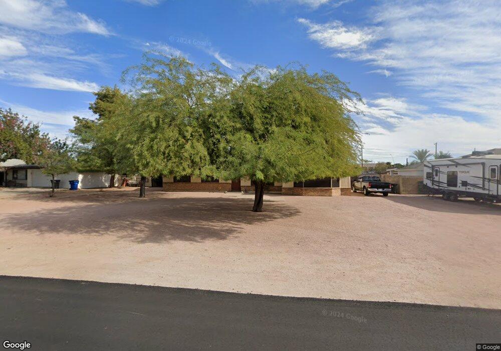
1321 N 67th St Mesa, AZ 85205
Central Mesa East NeighborhoodEstimated Value: $467,077 - $567,000
--
Bed
2
Baths
1,823
Sq Ft
$277/Sq Ft
Est. Value
About This Home
This home is located at 1321 N 67th St, Mesa, AZ 85205 and is currently estimated at $504,269, approximately $276 per square foot. 1321 N 67th St is a home located in Maricopa County with nearby schools including Falcon Hill Elementary School, Franklin at Brimhall Elementary School, and Franklin West Elementary School.
Ownership History
Date
Name
Owned For
Owner Type
Purchase Details
Closed on
Jun 27, 2023
Sold by
Linger Pamela Lanell
Bought by
Barnett-Linger Family Trust
Current Estimated Value
Purchase Details
Closed on
Apr 23, 2009
Sold by
Quinn Jimmy D and Quinn Shirlee J
Bought by
National City Bank
Purchase Details
Closed on
Jun 7, 2000
Sold by
Lacey Phillip J and Lacey Debra K
Bought by
Dobstaff Ronald E
Purchase Details
Closed on
Mar 7, 1995
Sold by
Dobstaff Edwin L and Dobstaff Alice L
Bought by
Dobstaff Edwin L and Dobstaff Alice L
Create a Home Valuation Report for This Property
The Home Valuation Report is an in-depth analysis detailing your home's value as well as a comparison with similar homes in the area
Home Values in the Area
Average Home Value in this Area
Purchase History
| Date | Buyer | Sale Price | Title Company |
|---|---|---|---|
| Barnett-Linger Family Trust | -- | None Listed On Document | |
| National City Bank | $112,500 | None Available | |
| Dobstaff Ronald E | $38,942 | -- | |
| Dobstaff Edwin L | -- | -- |
Source: Public Records
Tax History Compared to Growth
Tax History
| Year | Tax Paid | Tax Assessment Tax Assessment Total Assessment is a certain percentage of the fair market value that is determined by local assessors to be the total taxable value of land and additions on the property. | Land | Improvement |
|---|---|---|---|---|
| 2025 | $1,770 | $21,316 | -- | -- |
| 2024 | $1,789 | $20,301 | -- | -- |
| 2023 | $1,789 | $40,370 | $8,070 | $32,300 |
| 2022 | $1,750 | $30,860 | $6,170 | $24,690 |
| 2021 | $1,798 | $27,650 | $5,530 | $22,120 |
| 2020 | $1,774 | $24,800 | $4,960 | $19,840 |
| 2019 | $1,644 | $22,550 | $4,510 | $18,040 |
| 2018 | $1,569 | $19,560 | $3,910 | $15,650 |
| 2017 | $1,520 | $18,480 | $3,690 | $14,790 |
| 2016 | $1,493 | $16,280 | $3,250 | $13,030 |
| 2015 | $1,409 | $15,310 | $3,060 | $12,250 |
Source: Public Records
Map
Nearby Homes
- 1216 N 66th Place
- 6720 E Encanto St Unit 20
- 7114 E Grandview St
- 6961 E Ivyglen St
- 1739 N Silverado
- 6917 E Ingram Cir
- 6245 E Brown Rd
- 6505 E El Paso St
- 7259 E Glencove St
- 6360 E Ensenada St
- 6416 E El Paso St
- 6420 E Jensen St
- 6646 E Dodge St
- 6205 E Ivy St
- 1840 N Brighton Cir Unit 1
- 1735 N Platina Cir
- 6531 E June St
- 6048 E Hobart St
- 6042 E Halifax St
- 635 N 67th Place
- 1311 N 67th St
- 1331 N 67th St
- 1304 N Power Rd
- 6702 E Tonto St
- 1322 N Power Rd
- 1334 N Power Rd
- 6701 E Princess Dr
- 1322 N 67th St
- 6711 E Princess Dr
- 1332 N 67th St
- 1312 N 67th St
- 1342 N Power Rd
- 1306 N Power Rd
- 6665 E Princess Dr
- 1302 N 67th St
- 1302 N 67th St
- 1352 N Power Rd
- 1247 N 67th St
- 6711 E Tonto St
- 6655 E Princess Dr