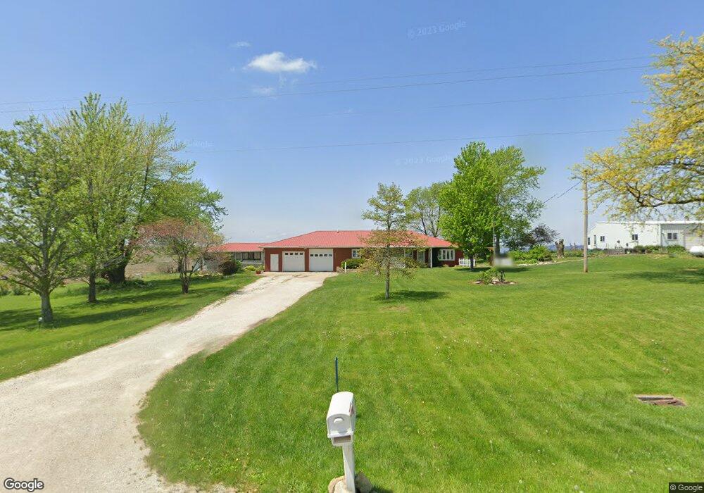
1321 Pilot Grove Rd West Point, IA 52656
Estimated Value: $265,766 - $342,000
3
Beds
1
Bath
2,968
Sq Ft
$106/Sq Ft
Est. Value
About This Home
This home is located at 1321 Pilot Grove Rd, West Point, IA 52656 and is currently estimated at $315,442, approximately $106 per square foot. 1321 Pilot Grove Rd is a home with nearby schools including Fort Madison High School and Holy Trinity Catholic Elementary-St. Paul.
Create a Home Valuation Report for This Property
The Home Valuation Report is an in-depth analysis detailing your home's value as well as a comparison with similar homes in the area
Home Values in the Area
Average Home Value in this Area
Tax History Compared to Growth
Tax History
| Year | Tax Paid | Tax Assessment Tax Assessment Total Assessment is a certain percentage of the fair market value that is determined by local assessors to be the total taxable value of land and additions on the property. | Land | Improvement |
|---|---|---|---|---|
| 2024 | $2,794 | $236,570 | $14,540 | $222,030 |
| 2023 | $2,584 | $236,570 | $14,540 | $222,030 |
| 2022 | $2,228 | $181,050 | $14,450 | $166,600 |
| 2021 | $2,228 | $181,050 | $14,450 | $166,600 |
| 2020 | $2,232 | $169,700 | $15,320 | $154,380 |
| 2019 | $2,050 | $169,700 | $15,320 | $154,380 |
| 2018 | $2,110 | $152,360 | $0 | $0 |
| 2017 | $2,110 | $145,100 | $0 | $0 |
| 2016 | $1,916 | $145,100 | $0 | $0 |
| 2015 | $1,916 | $143,750 | $0 | $0 |
| 2014 | $1,846 | $143,750 | $0 | $0 |
Source: Public Records
Map
Nearby Homes
- 1336 Pilot Grove Rd
- 1338 Pilot Grove Rd
- 1342 196th Ave
- 1344 196th Ave
- 1346 196th Ave
- 1358 Pilot Grove Rd
- 2001 130th St
- 1889 130th St
- 1874 130th St
- 1404 Pilot Grove Rd
- 1247 Pilot Grove Rd
- 2025 Locust St
- 1327 Acm Dr
- 1335 Acm Dr
- 1325 Acm Dr
- 1323 Acm Dr
- 1321 Acm Dr
- 1228 Pilot Grove Rd
- 1323 Acm Dr
- 1321 Acm Dr