13210 Turkey Trail Wamego, KS 66547
Estimated Value: $440,000 - $821,893
5
Beds
4
Baths
2,754
Sq Ft
$223/Sq Ft
Est. Value
About This Home
This home is located at 13210 Turkey Trail, Wamego, KS 66547 and is currently estimated at $613,223, approximately $222 per square foot. 13210 Turkey Trail is a home with nearby schools including Rock Creek Junior/Senior High School.
Ownership History
Date
Name
Owned For
Owner Type
Purchase Details
Closed on
Feb 14, 2024
Sold by
Klecan Larry M and Klecan Shana Dawn
Bought by
Bryant Avery William and Avery Mollie B
Current Estimated Value
Purchase Details
Closed on
Jun 6, 2012
Sold by
Klecan Home Building Inc
Bought by
Klecan Larry M and Klecan Shana Dawn
Home Financials for this Owner
Home Financials are based on the most recent Mortgage that was taken out on this home.
Original Mortgage
$325,000
Interest Rate
3.86%
Mortgage Type
Construction
Create a Home Valuation Report for This Property
The Home Valuation Report is an in-depth analysis detailing your home's value as well as a comparison with similar homes in the area
Home Values in the Area
Average Home Value in this Area
Purchase History
| Date | Buyer | Sale Price | Title Company |
|---|---|---|---|
| Bryant Avery William | -- | None Listed On Document | |
| Klecan Larry M | -- | None Available |
Source: Public Records
Mortgage History
| Date | Status | Borrower | Loan Amount |
|---|---|---|---|
| Previous Owner | Klecan Larry M | $325,000 |
Source: Public Records
Tax History Compared to Growth
Tax History
| Year | Tax Paid | Tax Assessment Tax Assessment Total Assessment is a certain percentage of the fair market value that is determined by local assessors to be the total taxable value of land and additions on the property. | Land | Improvement |
|---|---|---|---|---|
| 2025 | $9,551 | $100,808 | $11,307 | $89,501 |
| 2024 | $96 | $99,924 | $11,084 | $88,840 |
| 2023 | $9,633 | $97,608 | $11,084 | $86,524 |
| 2022 | $8,322 | $88,824 | $10,974 | $77,850 |
| 2021 | $8,322 | $84,513 | $10,624 | $73,889 |
| 2020 | $8,322 | $84,210 | $10,317 | $73,893 |
| 2019 | $8,527 | $85,198 | $9,684 | $75,514 |
| 2018 | $8,777 | $85,113 | $9,569 | $75,544 |
| 2017 | $7,492 | $82,313 | $9,684 | $72,629 |
| 2016 | $7,218 | $82,140 | $8,155 | $73,985 |
| 2015 | -- | $78,603 | $6,912 | $71,691 |
| 2014 | -- | $75,993 | $6,452 | $69,541 |
Source: Public Records
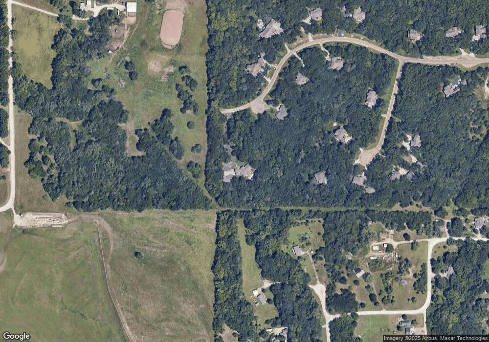
Map
Nearby Homes
- 13318 Woodland Dr
- 13000 Anthony Dr
- 4225 Rockenham Rd
- 4075 Rockenham Cir
- 13880 Berry Ln
- 00000 Countryside Ln Unit Lot 26
- 00000 Countryside Ln Unit Lot 24
- 00000 Countryside Ln Unit Lot 22
- 00000 Countryside Ln Unit Lot 20
- 00000 Countryside Ln Unit Lot 19
- 00000 Countryside Ln Unit Lot 18
- 00000 Countryside Ln Unit Lot 17
- 00000 Countryside Ln Unit Lot 15
- 00000 Countryside Ln Unit Lot 16
- 00000 Countryside Ln Unit Lot 14
- 00000 Countryside Ln Unit Lot 11
- 00000 Countryside Ln Unit Lot 10
- 00000 Countryside Ln Unit Lot 9
- 00000 Countryside Ln Unit Lot 8
- 00000 Countryside Ln Unit Lot 7
- 13234 Turkey Trail
- 13258 Turkey Trail
- 13245 Turkey Trail
- 13269 Turkey Trail
- 13316 Turkey Trail
- 13337 Turkey Trail
- 13455 Turkey Trail
- 13381 Turkey Trail
- 13436 Turkey Trail
- 13477 Turkey Trail
- 13482 Turkey Trail
- 4110 Walnut Creek Dr
- 4260 Whitetail Ln
- 4081 Walnut Creek Dr
- 13489 Turkey Trail
- 13496 Turkey Trail
- 4255 Whitetail Ln
- 4060 Walnut Creek Dr
- 4057 Walnut Creek Dr
- 13312 Cedarwood Dr