13210 W 173rd Ave Lowell, IN 46356
West Creek NeighborhoodEstimated Value: $522,000 - $652,420
3
Beds
2
Baths
1,450
Sq Ft
$396/Sq Ft
Est. Value
About This Home
This home is located at 13210 W 173rd Ave, Lowell, IN 46356 and is currently estimated at $574,807, approximately $396 per square foot. 13210 W 173rd Ave is a home located in Lake County with nearby schools including Lowell Middle School and Lowell Senior High School.
Ownership History
Date
Name
Owned For
Owner Type
Purchase Details
Closed on
Feb 29, 2008
Sold by
Schlueter Judith E
Bought by
Hochstetler Carl E and Hochstetler Karen A
Current Estimated Value
Home Financials for this Owner
Home Financials are based on the most recent Mortgage that was taken out on this home.
Original Mortgage
$75,000
Interest Rate
5.75%
Mortgage Type
Purchase Money Mortgage
Create a Home Valuation Report for This Property
The Home Valuation Report is an in-depth analysis detailing your home's value as well as a comparison with similar homes in the area
Home Values in the Area
Average Home Value in this Area
Purchase History
| Date | Buyer | Sale Price | Title Company |
|---|---|---|---|
| Hochstetler Carl E | -- | Indiana Title Network Co |
Source: Public Records
Mortgage History
| Date | Status | Borrower | Loan Amount |
|---|---|---|---|
| Closed | Hochstetler Carl E | $75,000 |
Source: Public Records
Tax History Compared to Growth
Tax History
| Year | Tax Paid | Tax Assessment Tax Assessment Total Assessment is a certain percentage of the fair market value that is determined by local assessors to be the total taxable value of land and additions on the property. | Land | Improvement |
|---|---|---|---|---|
| 2024 | $9,091 | $487,000 | $100,700 | $386,300 |
| 2023 | $5,100 | $482,500 | $93,900 | $388,600 |
| 2022 | $5,100 | $467,400 | $86,800 | $380,600 |
| 2021 | $4,288 | $414,700 | $62,300 | $352,400 |
| 2020 | $3,999 | $398,100 | $62,100 | $336,000 |
| 2019 | $4,060 | $383,500 | $67,100 | $316,400 |
| 2018 | $4,012 | $377,200 | $68,000 | $309,200 |
| 2017 | $3,872 | $336,600 | $73,000 | $263,600 |
| 2016 | $3,864 | $342,000 | $75,000 | $267,000 |
| 2014 | $3,773 | $333,600 | $76,600 | $257,000 |
| 2013 | $3,803 | $325,200 | $71,400 | $253,800 |
Source: Public Records
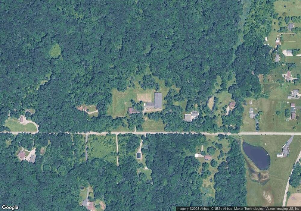
Map
Nearby Homes
- 13199 W 169th Ave
- 13351 W 181st Ave
- 12610 W 162nd Ave
- 12312 W 157th Ave
- 15507 Magoun St Unit 10
- 14299 W 153rd Ln
- 16280 Parrish Ave
- 615 Debra Kay Dr
- 872 Valley View Dr
- 12750 W 151st Ave
- 688 Village Pkwy
- 739 Cheyenne Dr
- 17215 Adams Dr
- 611 Iowa Dr
- 17266 Independence Dr
- 654 Cheyenne Dr
- 711 Shawnee Ct
- 617 Fawn Cir
- 432 Apache Ln
- 8817 Graystone Dr
- 13701 W 173rd Ave
- 13207 W 173rd Ave Unit 10
- 13448 W 173rd Ave
- 13010 W 173rd Ave
- 13500 W 173rd Ave
- 13000 W 173rd Ave
- 13443 W 173rd Ave
- 13620 W 173rd Ave
- 13620 W 173rd Ln
- 12950 W 173rd Ave
- 13351 W 173rd Ave
- 13606 W 173rd Ave Unit 10
- 17188 White Oak Ave
- 17304 White Oak Ave
- 17216 White Oak Ave
- 17274 White Oak Ave
- 13311 W 169th Ave
- 17238 White Oak Ave
- 17384 White Oak Ave
- Lot 11 White Oak Ave