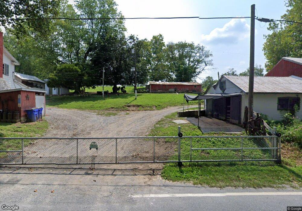
13211 Bunker Hill Rd Union Bridge, MD 21791
Estimated Value: $340,844 - $440,000
--
Bed
--
Bath
1,344
Sq Ft
$284/Sq Ft
Est. Value
About This Home
This home is located at 13211 Bunker Hill Rd, Union Bridge, MD 21791 and is currently estimated at $381,461, approximately $283 per square foot. 13211 Bunker Hill Rd is a home located in Frederick County with nearby schools including New Midway/Woodsboro Elementary School, Walkersville Middle School, and Walkersville High School.
Ownership History
Date
Name
Owned For
Owner Type
Purchase Details
Closed on
Aug 21, 2015
Sold by
Stambaugh Charles R and Stambaugh Cheryl A
Bought by
Wilcom Douglas and Harman Elizabeth M
Current Estimated Value
Home Financials for this Owner
Home Financials are based on the most recent Mortgage that was taken out on this home.
Original Mortgage
$157,500
Outstanding Balance
$124,041
Interest Rate
4.07%
Mortgage Type
New Conventional
Estimated Equity
$257,420
Purchase Details
Closed on
Jun 9, 1998
Sold by
Stambaugh Theodore R and Stambaugh Wife
Bought by
Stambaugh Charles R and Craft Cheryl A
Create a Home Valuation Report for This Property
The Home Valuation Report is an in-depth analysis detailing your home's value as well as a comparison with similar homes in the area
Home Values in the Area
Average Home Value in this Area
Purchase History
| Date | Buyer | Sale Price | Title Company |
|---|---|---|---|
| Wilcom Douglas | $175,000 | Attorney | |
| Stambaugh Charles R | $88,000 | -- |
Source: Public Records
Mortgage History
| Date | Status | Borrower | Loan Amount |
|---|---|---|---|
| Open | Wilcom Douglas | $157,500 | |
| Closed | Stambaugh Charles R | -- |
Source: Public Records
Tax History Compared to Growth
Tax History
| Year | Tax Paid | Tax Assessment Tax Assessment Total Assessment is a certain percentage of the fair market value that is determined by local assessors to be the total taxable value of land and additions on the property. | Land | Improvement |
|---|---|---|---|---|
| 2025 | $3,147 | $269,900 | $146,000 | $123,900 |
| 2024 | $3,147 | $247,667 | $0 | $0 |
| 2023 | $2,766 | $225,433 | $0 | $0 |
| 2022 | $2,508 | $203,200 | $126,000 | $77,200 |
| 2021 | $2,491 | $202,467 | $0 | $0 |
| 2020 | $2,491 | $201,733 | $0 | $0 |
| 2019 | $2,482 | $201,000 | $126,000 | $75,000 |
| 2018 | $2,474 | $198,433 | $0 | $0 |
| 2017 | $2,423 | $201,000 | $0 | $0 |
| 2016 | $1,937 | $193,300 | $0 | $0 |
| 2015 | $1,937 | $190,900 | $0 | $0 |
| 2014 | $1,937 | $188,500 | $0 | $0 |
Source: Public Records
Map
Nearby Homes
- 12613 Good Intent Rd
- 430 Bucher John Rd
- 45 N Main St
- 12633 Claybaugh Rd
- 6 N Farquhar St
- 147 Union Bridge Rd
- 11420 Green Valley Rd
- 6200 Middleburg Rd
- 0 Muth Rd
- 718 Francis Scott Key Hwy
- 4939 Middleburg Rd
- 57B Hoff Rd
- 244 Stem Rd
- 1450 Marble Quarry Rd
- 0 Crouse Mill Rd Unit MDCR2028936
- 0 Crouse Mill
- 285 Stem Rd
- 0 Stem Rd
- 11320 Baker Rd
- 10216 Fountain School Rd
- 13229 Bunker Hill Rd
- 13117 Bunker Hill Rd
- 12115 Houck Rd
- 13123 Good Intent Rd
- 13111 Good Intent Rd
- 13133 Good Intent Rd
- 12119 Houck Rd
- 13120 Good Intent Rd
- 13329 Good Intent Rd
- 13030 Good Intent Rd
- 11928 Beaver Dam Rd
- 11928 Beaver Dam Rd
- 12031 Houck Rd
- 12031 Houck Rd
- 12013 Beaver Dam Rd
- 12013 Beaver Dam Rd
- 13206 Good Intent Rd
- 13020 Good Intent Rd
- 12129 Houck Rd
- 13214 Good Intent Rd