13212 Brookside Rd South Haven, MN 55382
Estimated Value: $50,688 - $85,000
--
Bed
--
Bath
--
Sq Ft
1.91
Acres
About This Home
This home is located at 13212 Brookside Rd, South Haven, MN 55382 and is currently estimated at $66,229. 13212 Brookside Rd is a home located in Stearns County with nearby schools including Kimball Elementary School and Kimball High School.
Ownership History
Date
Name
Owned For
Owner Type
Purchase Details
Closed on
Dec 10, 2021
Sold by
Demark Stevan Stevan
Bought by
Desens Derek Derek
Current Estimated Value
Home Financials for this Owner
Home Financials are based on the most recent Mortgage that was taken out on this home.
Interest Rate
3.1%
Purchase Details
Closed on
Dec 28, 2005
Sold by
Demark Steve
Bought by
Sturm Robert
Purchase Details
Closed on
Sep 16, 2005
Sold by
Lano Gary
Bought by
Demark Steve
Purchase Details
Closed on
Jan 2, 2003
Sold by
Anderson Clifford
Bought by
Lano Gary
Purchase Details
Closed on
Sep 5, 2001
Sold by
Anderson Clifford
Bought by
Lano Gary
Create a Home Valuation Report for This Property
The Home Valuation Report is an in-depth analysis detailing your home's value as well as a comparison with similar homes in the area
Home Values in the Area
Average Home Value in this Area
Purchase History
| Date | Buyer | Sale Price | Title Company |
|---|---|---|---|
| Desens Derek Derek | $40,000 | -- | |
| Sturm Robert | $25,400 | -- | |
| Demark Steve | $50,000 | -- | |
| Lano Gary | $125,000 | -- | |
| Lano Gary | $125,000 | -- |
Source: Public Records
Mortgage History
| Date | Status | Borrower | Loan Amount |
|---|---|---|---|
| Closed | Desens Derek Derek | -- |
Source: Public Records
Tax History Compared to Growth
Tax History
| Year | Tax Paid | Tax Assessment Tax Assessment Total Assessment is a certain percentage of the fair market value that is determined by local assessors to be the total taxable value of land and additions on the property. | Land | Improvement |
|---|---|---|---|---|
| 2025 | $588 | $54,200 | $54,200 | $0 |
| 2024 | $586 | $53,900 | $53,900 | $0 |
| 2023 | $666 | $53,500 | $53,500 | $0 |
| 2022 | $650 | $50,200 | $50,200 | $0 |
| 2021 | $690 | $50,200 | $50,200 | $0 |
| 2020 | $824 | $50,200 | $50,200 | $0 |
| 2019 | $848 | $58,900 | $58,900 | $0 |
| 2018 | $806 | $54,300 | $54,300 | $0 |
Source: Public Records
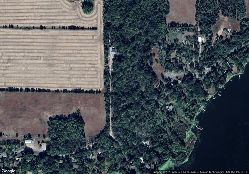
Map
Nearby Homes
- 10848 Porter Ave NW
- 16698 109th St NW
- 10399 Reardon Ave NW
- 14XXX County Road 44
- 10368 Oliver Ave NW
- 13943 102nd St NW
- 13934 101st St NW
- 8537 Pittman Ave NW
- 125 Cedar St SE
- 148 Cedar St SE
- 118 Cedar St SE
- 847 Walnut Ave SE
- 226 Quill St NE
- 451 Linden Ave E
- 230 Newspaper Run NE
- 351 Publishers Dr NE
- 231 Newspaper Run NE
- 121 Spruce Ave E
- 0 80th St NW
- 11 Spruce Ave E
- 13154 Brookside Rd
- 13274 Brookside Rd
- 5463 Brookfield Rd
- 5464 Brookfield Rd
- 5413 Brookfield Rd
- 5402 Brookfield Rd
- 5543 Brooks Cir
- 5375 Brookfield Rd
- 5605 Bradley Rd
- 5533 Brooks Cir
- 5379 Brookfield Rd
- 5625 Bradley Rd
- 5645 Bradley Rd
- 5396 Brookfield Rd
- 13122 Brookside Rd
- 5375 5375 Brookfield Rd
- 5365 Brookfield Rd
- xxxx Brookfield Rd
- 5351 Brookfield Rd
- 5657 Bradley Rd