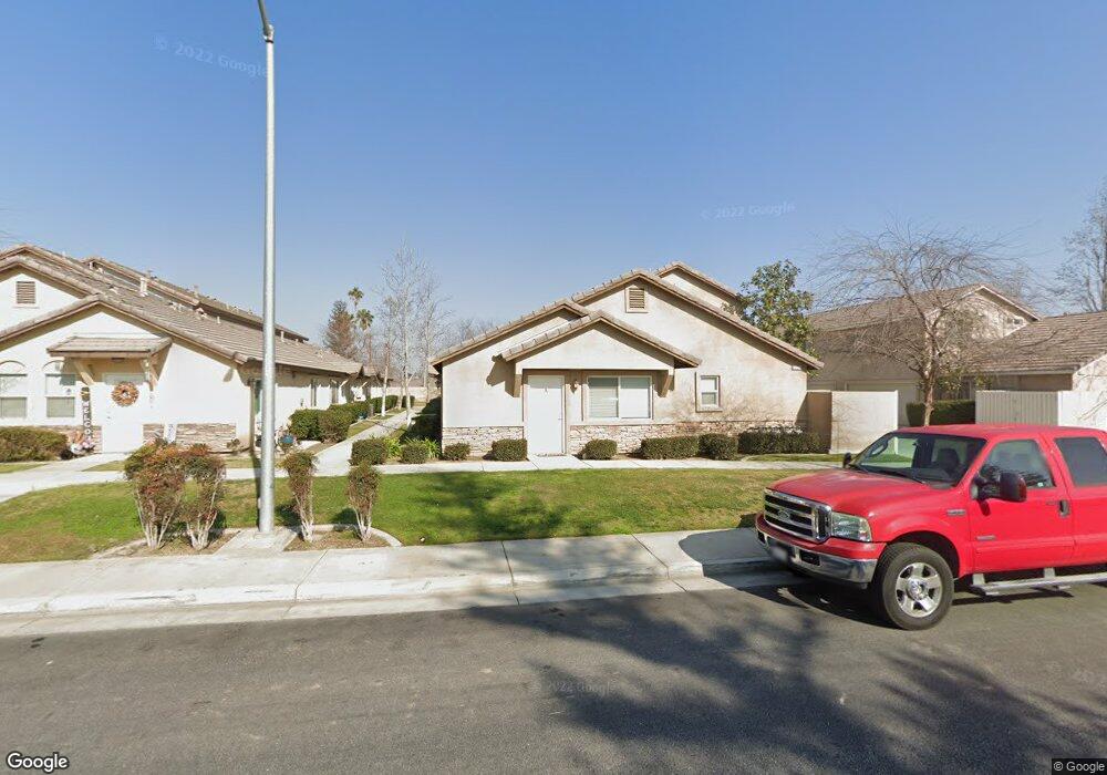
13214 Rissy Ct Bakersfield, CA 93314
Estimated Value: $972,000 - $1,090,000
10
Beds
10
Baths
2,990
Sq Ft
$343/Sq Ft
Est. Value
About This Home
This home is located at 13214 Rissy Ct, Bakersfield, CA 93314 and is currently estimated at $1,026,000, approximately $343 per square foot. 13214 Rissy Ct is a home located in Kern County with nearby schools including Independence Elementary School, Rosedale Middle School, and Liberty High School.
Ownership History
Date
Name
Owned For
Owner Type
Purchase Details
Closed on
Mar 1, 2021
Sold by
Hogg Tony E and Hogg Stacy L
Bought by
Morro Quintana Llc
Current Estimated Value
Purchase Details
Closed on
Sep 17, 2013
Sold by
Hogg Anthony E and Hogg Stacy L
Bought by
Morro Quintana Llc
Home Financials for this Owner
Home Financials are based on the most recent Mortgage that was taken out on this home.
Original Mortgage
$193,300
Interest Rate
4.49%
Mortgage Type
New Conventional
Purchase Details
Closed on
Nov 26, 2007
Sold by
Hogg Tony E and Hogg Stacy L
Bought by
Morro Quintana Llc
Purchase Details
Closed on
Oct 12, 2007
Sold by
Tdb Land Llc
Bought by
Hogg Tony E and Hogg Stacy L
Create a Home Valuation Report for This Property
The Home Valuation Report is an in-depth analysis detailing your home's value as well as a comparison with similar homes in the area
Home Values in the Area
Average Home Value in this Area
Purchase History
| Date | Buyer | Sale Price | Title Company |
|---|---|---|---|
| Morro Quintana Llc | -- | Accommodation | |
| Hogg Tony E | -- | Accommodation | |
| Morro Quintana Llc | -- | Placer Title Company | |
| Hogg Anthony E | -- | Placer Title Company | |
| Morro Quintana Llc | -- | First American Title Company | |
| Hogg Tony E | -- | First American Title Company |
Source: Public Records
Mortgage History
| Date | Status | Borrower | Loan Amount |
|---|---|---|---|
| Previous Owner | Morro Quintana Llc | $193,300 |
Source: Public Records
Tax History Compared to Growth
Tax History
| Year | Tax Paid | Tax Assessment Tax Assessment Total Assessment is a certain percentage of the fair market value that is determined by local assessors to be the total taxable value of land and additions on the property. | Land | Improvement |
|---|---|---|---|---|
| 2025 | $10,976 | $772,855 | $135,304 | $637,551 |
| 2024 | $10,719 | $757,701 | $132,651 | $625,050 |
| 2023 | $10,719 | $742,845 | $130,050 | $612,795 |
| 2022 | $10,491 | $728,280 | $127,500 | $600,780 |
| 2021 | $10,057 | $715,000 | $143,000 | $572,000 |
| 2020 | $10,771 | $784,000 | $157,000 | $627,000 |
| 2019 | $10,774 | $784,000 | $157,000 | $627,000 |
| 2018 | $9,655 | $691,000 | $138,000 | $553,000 |
| 2017 | $8,632 | $599,000 | $120,000 | $479,000 |
| 2016 | $7,595 | $540,000 | $108,000 | $432,000 |
| 2015 | $7,262 | $507,000 | $76,000 | $431,000 |
| 2014 | $6,810 | $470,000 | $100,000 | $370,000 |
Source: Public Records
Map
Nearby Homes
- 13214 Giro Dr
- 13013 Tyler Ct
- 13418 Giro Dr
- 12912 Tyler Ct
- 13300 Coco Palm Ct
- 13417 Hinault Dr Unit 1
- 2639 Jenkins Rd
- 13754 Rosedale Hwy
- 13019 Queen Palm Ct
- 3000 Allen Rd
- 2119 Jenkins Rd
- 13207 Phoenix Palm Ct
- 2112 Branch Creek St
- 2710 Maher Way
- 14035 Rosedale Hwy Unit 162
- 14035 Rosedale Hwy Unit 87
- 14035 Rosedale Hwy Unit 108
- 14035 Rosedale Hwy Unit 112
- 14035 Rosedale Hwy Unit 55
- 14035 Rosedale Hwy Unit 69
- 13210 Rissy Ct
- 13300 Rissy Ct
- 13206 Rissy Ct
- 13304 Rissy Ct
- 13308 Rissy Ct
- 13202 Rissy Ct
- 13215 Rissy Ct
- 13211 Rissy Ct
- 13301 Rissy Ct
- 15716 Santa Clara Ct
- 15614 Cole Brook Ct
- 15710 Santa Clara Ct
- 15713 Santa Clara Ct
- 15613 Cole Brook Ct
- 15625 Cole Brook Ct
- 13312 Rissy Ct
- 13207 Rissy Ct
- 13305 Rissy Ct
- 13309 Rissy Ct
- 13203 Rissy Ct