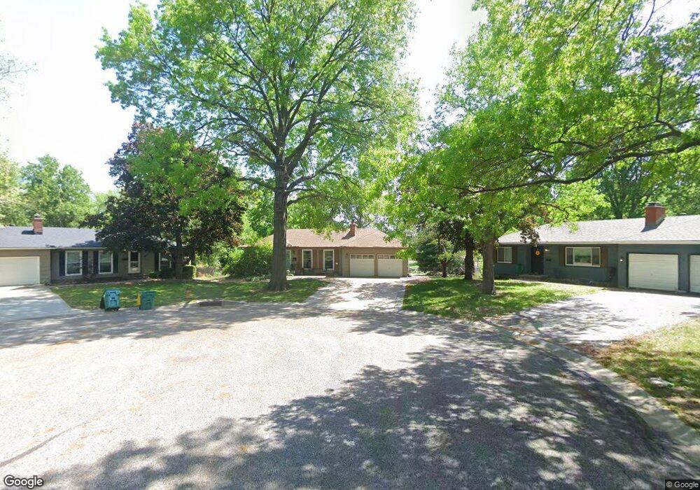
13215 Logan Ln Lenexa, KS 66215
Estimated Value: $303,172 - $338,000
3
Beds
2
Baths
1,004
Sq Ft
$319/Sq Ft
Est. Value
About This Home
This home is located at 13215 Logan Ln, Lenexa, KS 66215 and is currently estimated at $320,543, approximately $319 per square foot. 13215 Logan Ln is a home located in Johnson County with nearby schools including Sunflower Elementary School, Westridge Middle School, and Shawnee Mission West High School.
Ownership History
Date
Name
Owned For
Owner Type
Purchase Details
Closed on
Feb 26, 2016
Sold by
Stewart William G and Stewart Elizabeth G
Bought by
Stewart Elizabeth G
Current Estimated Value
Purchase Details
Closed on
Sep 20, 2005
Sold by
Johnson Ernestine Carlile
Bought by
Stewart William G and Stewart Elizabeth G
Home Financials for this Owner
Home Financials are based on the most recent Mortgage that was taken out on this home.
Original Mortgage
$31,778
Interest Rate
5.38%
Mortgage Type
Stand Alone Second
Create a Home Valuation Report for This Property
The Home Valuation Report is an in-depth analysis detailing your home's value as well as a comparison with similar homes in the area
Home Values in the Area
Average Home Value in this Area
Purchase History
| Date | Buyer | Sale Price | Title Company |
|---|---|---|---|
| Stewart Elizabeth G | -- | Continental Title | |
| Stewart William G | -- | Chicago Title Insurance Co |
Source: Public Records
Mortgage History
| Date | Status | Borrower | Loan Amount |
|---|---|---|---|
| Previous Owner | Stewart William G | $31,778 | |
| Previous Owner | Stewart William G | $127,112 |
Source: Public Records
Tax History Compared to Growth
Tax History
| Year | Tax Paid | Tax Assessment Tax Assessment Total Assessment is a certain percentage of the fair market value that is determined by local assessors to be the total taxable value of land and additions on the property. | Land | Improvement |
|---|---|---|---|---|
| 2024 | $3,779 | $34,293 | $6,089 | $28,204 |
| 2023 | $3,708 | $32,914 | $5,532 | $27,382 |
| 2022 | $3,388 | $30,038 | $5,028 | $25,010 |
| 2021 | $3,140 | $26,312 | $4,783 | $21,529 |
| 2020 | $2,957 | $24,507 | $4,347 | $20,160 |
| 2019 | $2,605 | $21,528 | $2,801 | $18,727 |
| 2018 | $2,501 | $20,470 | $2,801 | $17,669 |
| 2017 | $2,407 | $19,079 | $2,550 | $16,529 |
| 2016 | $2,368 | $18,538 | $2,550 | $15,988 |
| 2015 | $2,211 | $17,400 | $2,550 | $14,850 |
| 2013 | -- | $16,273 | $2,550 | $13,723 |
Source: Public Records
Map
Nearby Homes
- 9948 Rosehill Rd
- 12894 W 93rd St
- 10184 Haskins St
- 13013 W 101st St
- 13017 W 92nd St
- 13300 W 102nd St
- 10211 Hauser St
- 13312 W 91st St
- 10220 Gillette St
- 10226 Gillette St
- 12022 W 100th St
- 12122 W 92nd St
- 10107 Monrovia St
- 12207 W 101st Terrace
- 10308 Westgate St
- 10474 Caenen Lake Rd
- 10331 Westgate St
- 11807 W 99th Place
- 10223 Monrovia St
- 11722 W 101 Terrace
- 13217 Logan Ln
- 13211 Logan Ln
- 13219 Logan Ln
- 13209 Logan Ln
- 9629 Haskins Dr
- 9635 Haskins Dr
- 13120 Pennycross Rd
- 13207 Logan Ln
- 9641 Haskins Dr
- 9621 Haskins Dr
- 13112 Pennycross Rd
- 14231 W 87th Terrace
- 13106 Pennycross Rd
- 13201 Pennycross Rd
- 13201 Logan Ln
- 13223 Pennycross Rd
- 13100 Pennycross Rd
- 13214 Logan Ln
- 13220 Logan Ln
- 13229 Pennycross Rd