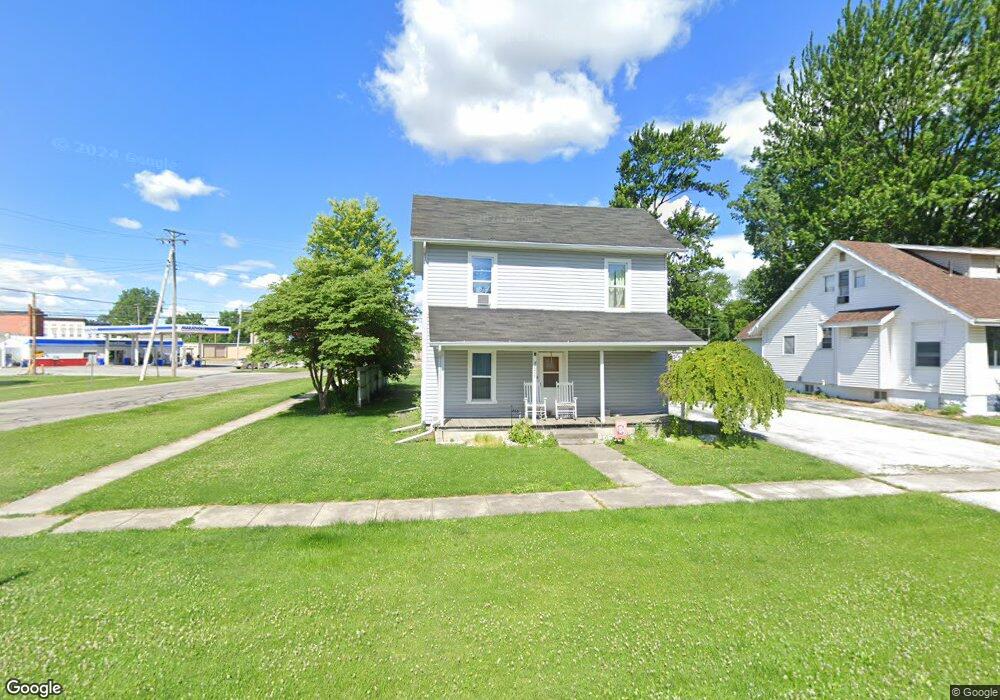
13215 Maple St Weston, OH 43569
Estimated Value: $108,000 - $155,000
4
Beds
1
Bath
1,464
Sq Ft
$88/Sq Ft
Est. Value
About This Home
This home is located at 13215 Maple St, Weston, OH 43569 and is currently estimated at $129,319, approximately $88 per square foot. 13215 Maple St is a home located in Wood County with nearby schools including Otsego Elementary School, Otsego Junior High School, and Otsego High School.
Ownership History
Date
Name
Owned For
Owner Type
Purchase Details
Closed on
Apr 20, 2010
Sold by
Wells Fargo Bank Na
Bought by
Harrison Christopher L and Harrison Jaclyn R
Current Estimated Value
Purchase Details
Closed on
Jan 14, 2010
Sold by
Tolles Rick L and Tolles Brenda A
Bought by
Wells Fargo Bank Na
Purchase Details
Closed on
Apr 11, 1989
Bought by
Tolles Rick L
Create a Home Valuation Report for This Property
The Home Valuation Report is an in-depth analysis detailing your home's value as well as a comparison with similar homes in the area
Purchase History
| Date | Buyer | Sale Price | Title Company |
|---|---|---|---|
| Harrison Christopher L | $10,900 | Attorney | |
| Wells Fargo Bank Na | $48,000 | None Available | |
| Tolles Rick L | $22,000 | -- |
Source: Public Records
Tax History
| Year | Tax Paid | Tax Assessment Tax Assessment Total Assessment is a certain percentage of the fair market value that is determined by local assessors to be the total taxable value of land and additions on the property. | Land | Improvement |
|---|---|---|---|---|
| 2025 | $1,111 | $26,040 | $3,955 | $22,085 |
| 2024 | $1,133 | $26,040 | $3,955 | $22,085 |
| 2023 | $1,133 | $26,050 | $3,960 | $22,090 |
| 2021 | $1,036 | $21,600 | $3,960 | $17,640 |
| 2020 | $1,041 | $21,600 | $3,960 | $17,640 |
| 2019 | $962 | $19,190 | $3,960 | $15,230 |
| 2018 | $933 | $19,190 | $3,960 | $15,230 |
| 2017 | $856 | $19,190 | $3,960 | $15,230 |
| 2016 | $765 | $16,460 | $3,960 | $12,500 |
| 2015 | $765 | $16,460 | $3,960 | $12,500 |
| 2014 | $842 | $16,460 | $3,960 | $12,500 |
| 2013 | $861 | $16,460 | $3,960 | $12,500 |
Source: Public Records
Map
Nearby Homes
- 20210 Oak St
- 13439 Ash St
- 20175 Taylor St
- 21490 Portage Rd
- 0 Otsego Pike Unit 6136991
- 0 Sand Ridge Rd Unit 10004038
- 22487 U S 6
- 17884 Euler Rd
- 15722 Range Line Rd
- 0 Portage Rd Unit 10004034
- 16313 Euler Rd
- 17267 Reams Rd
- 17345 Reams Rd
- 14590 Liberty Hi Rd
- 22759 Defiance Pike
- 0 Kellogg Rd Unit 6125521
- 16920 Long Judson Rd
- 16896 Long Judson Rd
- 916 Kathy Dr
- 1738 Dolly Dr
Your Personal Tour Guide
Ask me questions while you tour the home.