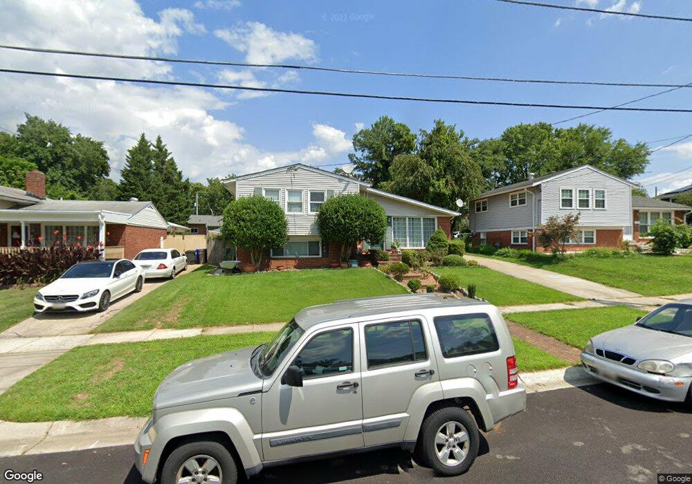
13219 Holdridge Rd Silver Spring, MD 20906
Estimated Value: $472,000 - $534,000
Studio
2
Baths
1,069
Sq Ft
$469/Sq Ft
Est. Value
About This Home
This home is located at 13219 Holdridge Rd, Silver Spring, MD 20906 and is currently estimated at $501,508, approximately $469 per square foot. 13219 Holdridge Rd is a home located in Montgomery County with nearby schools including Weller Road Elementary School, A. Mario Loiederman Middle School, and Wheaton High School.
Ownership History
Date
Name
Owned For
Owner Type
Purchase Details
Closed on
Jul 21, 2005
Sold by
Ribeiro Jose P
Bought by
Albanez Marvin G
Current Estimated Value
Home Financials for this Owner
Home Financials are based on the most recent Mortgage that was taken out on this home.
Original Mortgage
$337,600
Outstanding Balance
$275,283
Interest Rate
7.55%
Mortgage Type
Adjustable Rate Mortgage/ARM
Estimated Equity
$226,225
Purchase Details
Closed on
Jul 3, 1996
Sold by
S Michael S and S Tracey D
Bought by
Ribeiro Jose P and Santos Paula C
Create a Home Valuation Report for This Property
The Home Valuation Report is an in-depth analysis detailing your home's value as well as a comparison with similar homes in the area
Home Values in the Area
Average Home Value in this Area
Purchase History
| Date | Buyer | Sale Price | Title Company |
|---|---|---|---|
| Albanez Marvin G | $422,000 | -- | |
| Ribeiro Jose P | $150,000 | -- |
Source: Public Records
Mortgage History
| Date | Status | Borrower | Loan Amount |
|---|---|---|---|
| Open | Albanez Marvin G | $337,600 | |
| Closed | Albanez Marvin G | $84,400 |
Source: Public Records
Tax History
| Year | Tax Paid | Tax Assessment Tax Assessment Total Assessment is a certain percentage of the fair market value that is determined by local assessors to be the total taxable value of land and additions on the property. | Land | Improvement |
|---|---|---|---|---|
| 2025 | $5,001 | $394,800 | $182,100 | $212,700 |
| 2024 | $5,001 | $370,867 | $0 | $0 |
| 2023 | $5,392 | $346,933 | $0 | $0 |
| 2022 | $3,526 | $323,000 | $173,100 | $149,900 |
| 2021 | $2,123 | $313,233 | $0 | $0 |
| 2020 | $3,210 | $303,467 | $0 | $0 |
| 2019 | $4,127 | $293,700 | $158,400 | $135,300 |
| 2018 | $3,042 | $293,700 | $158,400 | $135,300 |
| 2017 | $3,740 | $293,700 | $0 | $0 |
| 2016 | -- | $303,300 | $0 | $0 |
| 2015 | $2,490 | $287,433 | $0 | $0 |
| 2014 | $2,490 | $271,567 | $0 | $0 |
Source: Public Records
Map
Nearby Homes
- 13220 Holdridge Rd
- 13116 Estelle Rd
- 3234 Hewitt Ave Unit 24
- 3301 Hewitt Ave Unit 501
- 3301 Hewitt Ave Unit 403
- 13316 Foxhall Dr
- 3945 Wendy Ln
- 3409 Janet Rd
- 12816 Valleywood Dr
- 2703 Belle Crest Ln
- 2610 Silverdale Dr
- 13216 Turkey Branch Pkwy
- 14028 Breeze Hill Ln
- 12628 Farnell Dr
- 13817 Blair Stone Ln
- 13220 Superior St
- 13530 Vandalia Dr
- 3405 Fredale St
- 4304 Elizabeth St
- 12704 Bushey Dr
- 13221 Holdridge Rd
- 13217 Holdridge Rd
- 13310 Georgia Ave
- 13223 Holdridge Rd
- 13312 Georgia Ave
- 13215 Holdridge Rd
- 13308 Georgia Ave
- 13314 Georgia Ave
- 13216 Holdridge Rd
- 13306 Georgia Ave
- 13225 Holdridge Rd
- 13213 Holdridge Rd
- 13316 Georgia Ave
- 13218 Holdridge Rd
- 13212 Holdridge Rd
- 13304 Georgia Ave
- 13227 Holdridge Rd
- 13318 Georgia Ave
- 13210 Holdridge Rd
- 13211 May Ct
Your Personal Tour Guide
Ask me questions while you tour the home.