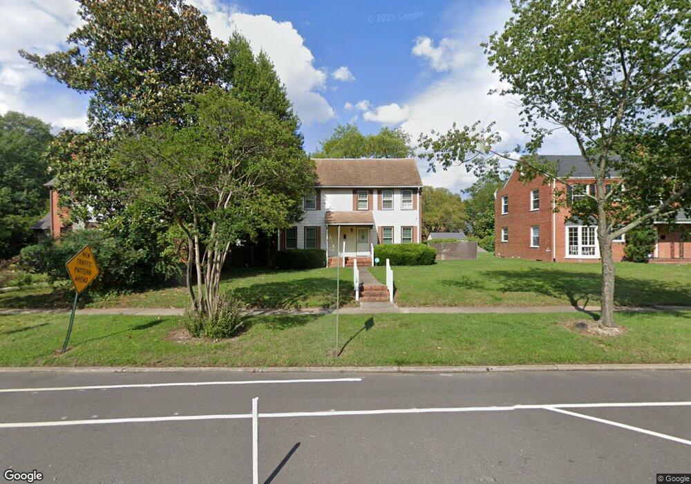
1322 Brookland Pkwy Richmond, VA 23227
Sherwood Park NeighborhoodEstimated Value: $386,488 - $482,000
3
Beds
1
Bath
1,470
Sq Ft
$295/Sq Ft
Est. Value
About This Home
This home is located at 1322 Brookland Pkwy, Richmond, VA 23227 and is currently estimated at $433,122, approximately $294 per square foot. 1322 Brookland Pkwy is a home located in Richmond City with nearby schools including Linwood Holton Elementary School, Henderson Middle School, and John Marshall High School.
Ownership History
Date
Name
Owned For
Owner Type
Purchase Details
Closed on
Aug 19, 1996
Sold by
Hogan Glenn R
Bought by
Enco Lc
Current Estimated Value
Home Financials for this Owner
Home Financials are based on the most recent Mortgage that was taken out on this home.
Original Mortgage
$20,000
Outstanding Balance
$1,563
Interest Rate
8.08%
Mortgage Type
New Conventional
Estimated Equity
$431,559
Purchase Details
Closed on
Jun 28, 1996
Sold by
Moore Mary E
Bought by
Travis Ronald L and Travis Ekaterina P
Home Financials for this Owner
Home Financials are based on the most recent Mortgage that was taken out on this home.
Original Mortgage
$20,000
Outstanding Balance
$1,563
Interest Rate
8.08%
Mortgage Type
New Conventional
Estimated Equity
$431,559
Create a Home Valuation Report for This Property
The Home Valuation Report is an in-depth analysis detailing your home's value as well as a comparison with similar homes in the area
Home Values in the Area
Average Home Value in this Area
Purchase History
| Date | Buyer | Sale Price | Title Company |
|---|---|---|---|
| Enco Lc | $15,500 | -- | |
| Travis Ronald L | $82,500 | -- |
Source: Public Records
Mortgage History
| Date | Status | Borrower | Loan Amount |
|---|---|---|---|
| Open | Travis Ronald L | $20,000 | |
| Previous Owner | Travis Ronald L | $82,413 |
Source: Public Records
Tax History Compared to Growth
Tax History
| Year | Tax Paid | Tax Assessment Tax Assessment Total Assessment is a certain percentage of the fair market value that is determined by local assessors to be the total taxable value of land and additions on the property. | Land | Improvement |
|---|---|---|---|---|
| 2025 | $3,768 | $314,000 | $135,000 | $179,000 |
| 2024 | $3,636 | $303,000 | $125,000 | $178,000 |
| 2023 | $3,444 | $287,000 | $115,000 | $172,000 |
| 2022 | $2,772 | $231,000 | $70,000 | $161,000 |
| 2021 | $2,652 | $223,000 | $65,000 | $158,000 |
| 2020 | $2,652 | $221,000 | $65,000 | $156,000 |
| 2019 | $2,472 | $206,000 | $65,000 | $141,000 |
| 2018 | $2,340 | $195,000 | $65,000 | $130,000 |
| 2017 | $2,052 | $171,000 | $55,000 | $116,000 |
| 2016 | $1,896 | $158,000 | $50,000 | $108,000 |
| 2015 | $1,824 | $156,000 | $50,000 | $106,000 |
| 2014 | $1,824 | $152,000 | $50,000 | $102,000 |
Source: Public Records
Map
Nearby Homes
- 1320 Brookland Pkwy
- 3304 Loxley Rd
- 1350 Westwood Ave Unit U307
- 1350 Westwood Ave Unit U703
- 1350 Westwood Ave Unit 501
- 1604 Brookland Pkwy
- 2938 Northumberland Ave
- 1708 Westwood Ave
- 2912 Hawthorne Ave
- 2441 Ownby Ln Unit B14
- 1603 W Laburnum Ave
- 1323 Avondale Ave
- 1615 W Laburnum Ave
- 1716 Maple Shade Ln
- 1815 Seddon Rd
- 2104 Libbie Lake St W Unit B
- 3036 Montrose Ave
- 3012 Montrose Ave
- 811 Edge Hill Rd
- 1912 Elmsmere Ave
- 1324 Brookland Pkwy
- 1320 Brookland Pkwy
- 1318 Brookland Pkwy
- 1315 Whitby Rd
- 1326 Brookland Pkwy
- 1317 Whitby Rd
- 1313 Whitby Rd
- 1316 Brookland Pkwy
- 1319 Whitby Rd
- 1311 Whitby Rd
- 1309 Whitby Rd
- 1314 Brookland Pkwy
- 1319 Brookland Pkwy
- 1315 Brookland Pkwy
- 1307 Whitby Rd
- 1321 Brookland Pkwy
- 1323 E Brookland Park Blvd
- 1313 Brookland Pkwy
- 1312 Brookland Pkwy
- 1323 Brookland Pkwy