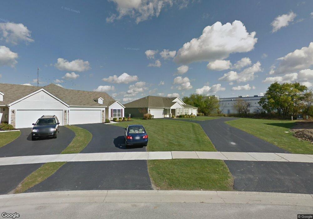
13221 Burgess Way Dyer, IN 46311
Saint John NeighborhoodEstimated Value: $306,792 - $371,000
2
Beds
2
Baths
1,636
Sq Ft
$203/Sq Ft
Est. Value
About This Home
This home is located at 13221 Burgess Way, Dyer, IN 46311 and is currently estimated at $332,698, approximately $203 per square foot. 13221 Burgess Way is a home located in Lake County with nearby schools including Lincoln Elementary School, Hanover Central Middle School, and Hanover Central High School.
Ownership History
Date
Name
Owned For
Owner Type
Purchase Details
Closed on
Dec 1, 2008
Sold by
Silver Leaf Of St John Development Llc
Bought by
Jolorte Joy L
Current Estimated Value
Home Financials for this Owner
Home Financials are based on the most recent Mortgage that was taken out on this home.
Original Mortgage
$165,350
Outstanding Balance
$108,773
Interest Rate
6.04%
Mortgage Type
Unknown
Estimated Equity
$223,925
Create a Home Valuation Report for This Property
The Home Valuation Report is an in-depth analysis detailing your home's value as well as a comparison with similar homes in the area
Home Values in the Area
Average Home Value in this Area
Purchase History
| Date | Buyer | Sale Price | Title Company |
|---|---|---|---|
| Jolorte Joy L | -- | Ticor So |
Source: Public Records
Mortgage History
| Date | Status | Borrower | Loan Amount |
|---|---|---|---|
| Open | Jolorte Joy L | $165,350 |
Source: Public Records
Tax History Compared to Growth
Tax History
| Year | Tax Paid | Tax Assessment Tax Assessment Total Assessment is a certain percentage of the fair market value that is determined by local assessors to be the total taxable value of land and additions on the property. | Land | Improvement |
|---|---|---|---|---|
| 2024 | $5,974 | $267,000 | $46,400 | $220,600 |
| 2023 | $2,608 | $251,800 | $46,400 | $205,400 |
| 2022 | $2,608 | $238,900 | $46,400 | $192,500 |
| 2021 | $2,216 | $207,500 | $36,700 | $170,800 |
| 2020 | $2,269 | $203,500 | $36,700 | $166,800 |
| 2019 | $2,081 | $190,400 | $36,700 | $153,700 |
| 2018 | $2,066 | $181,600 | $36,700 | $144,900 |
| 2017 | $2,216 | $183,200 | $36,700 | $146,500 |
| 2016 | $2,230 | $184,900 | $36,700 | $148,200 |
| 2014 | $1,692 | $165,300 | $36,700 | $128,600 |
| 2013 | $1,694 | $160,900 | $36,700 | $124,200 |
Source: Public Records
Map
Nearby Homes
- 10639 Burgess Way
- 13351 W 107th Ave
- 12957 109th Place
- 13085 109th Ave
- 13614 W 105th Place
- 10325 Birchbrook Dr
- 12914 W 109th Ave
- 11031 Delta Dr
- 10746 Knickerbocker Ct
- 13973 Blue Sky Ct
- 13993 Blue Sky Dr
- 10788 Knickerbocker Ct
- 10888 Wachter Ct
- 14528 N Quartz Ln
- 10045 Switch Grass Ln
- 14596 N Quartz Ln
- 13028 Waterleaf Dr
- Somerset Custom Plan at The Preserve
- The Rainier Plan at The Preserve
- The Augusta Plan at The Preserve
- 13221 Burgess Way
- 13207 Burgess Way
- 13207 Burgess Way
- 13232 Burgess Way
- 13232 Burgess Way
- 13232 Burgess Way
- 13246 Burgess Way
- 10631 Burgess Way
- 10631 Burgess Way Unit L92-1
- 13264 Burgess Way
- 10639 Burgess Way
- 10639 Burgess Way Unit L92-2
- 13278 Burgess Way
- 10636 Burgess Way
- 10645 Burgess Way
- 10645 Burgess Way
- 10645 Burgess Way Unit L91-1
- 10636 Burgess Way
- 13296 Burgess Way
- 13296-Lot 96-2 Burgess Way