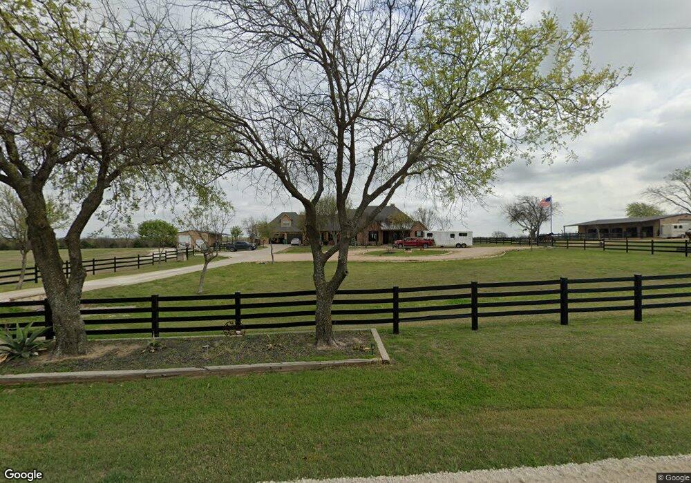
1323 Emberson Ranch Rd Pilot Point, TX 76258
Estimated Value: $1,497,945
3
Beds
3
Baths
2,842
Sq Ft
$527/Sq Ft
Est. Value
About This Home
This home is located at 1323 Emberson Ranch Rd, Pilot Point, TX 76258 and is currently estimated at $1,497,945, approximately $527 per square foot. 1323 Emberson Ranch Rd is a home located in Grayson County with nearby schools including Tioga School.
Ownership History
Date
Name
Owned For
Owner Type
Purchase Details
Closed on
Aug 12, 2011
Sold by
Jensen Martha and Jensen Monte
Bought by
Erbes Jamie
Current Estimated Value
Home Financials for this Owner
Home Financials are based on the most recent Mortgage that was taken out on this home.
Original Mortgage
$444,500
Outstanding Balance
$308,911
Interest Rate
4.65%
Mortgage Type
Purchase Money Mortgage
Estimated Equity
$1,189,034
Create a Home Valuation Report for This Property
The Home Valuation Report is an in-depth analysis detailing your home's value as well as a comparison with similar homes in the area
Home Values in the Area
Average Home Value in this Area
Purchase History
| Date | Buyer | Sale Price | Title Company |
|---|---|---|---|
| Erbes Jamie | -- | Reunion Title |
Source: Public Records
Mortgage History
| Date | Status | Borrower | Loan Amount |
|---|---|---|---|
| Open | Erbes Jamie | $444,500 |
Source: Public Records
Tax History Compared to Growth
Tax History
| Year | Tax Paid | Tax Assessment Tax Assessment Total Assessment is a certain percentage of the fair market value that is determined by local assessors to be the total taxable value of land and additions on the property. | Land | Improvement |
|---|---|---|---|---|
| 2025 | $10,878 | $746,819 | $85,475 | $661,344 |
| 2024 | $12,478 | $743,644 | $0 | $0 |
| 2023 | $10,473 | $775,668 | $82,749 | $692,919 |
| 2022 | $13,314 | $771,171 | $84,424 | $686,747 |
| 2021 | $14,721 | $793,893 | $37,181 | $756,712 |
| 2020 | $10,358 | $515,798 | $33,680 | $482,118 |
| 2019 | $11,361 | $528,618 | $39,165 | $489,453 |
| 2018 | $11,839 | $545,165 | $56,878 | $488,287 |
| 2017 | $10,357 | $474,010 | $43,123 | $430,887 |
| 2016 | $10,311 | $471,874 | $41,909 | $429,965 |
| 2015 | $10,342 | $503,962 | $41,871 | $462,091 |
| 2014 | $8,337 | $407,051 | $71,582 | $335,469 |
Source: Public Records
Map
Nearby Homes
- TBD Buck Creek Rd
- 855 Buck Creek Rd
- 0 Berend Rd
- 1078 Baker Rd
- TBD E Baker Rd
- 831 Baker Rd
- G-0073 Baker Rd
- 0 Baker Rd
- TBD Baker Rd
- 2300 Berend Rd
- TBD Baker Rd
- TBD Lot 1 Baker Rd
- 147 Emberson Chapel Rd
- 417 S Ray Roberts Pkwy
- 0 Buck Creek Rd
- 612 Fawn Trail
- 500 E Hinton St
- 116 E Hinton St
- 109 S Florence St
- 1202 Sherman St
- 1545 Emberson Ranch Rd
- 31 Ac Emberson Ranch Rd
- 17 acs Emberson Ranch Rd
- 1941 Emberson Ranch Rd
- 1941 Emberson Ranch Rd
- 252 Emberson Ranch Rd
- 1715 Emberson Chapel Rd
- 60 Emberson Ranch Rd
- 1998 Emberson Ranch Rd
- 12 Emberson Ranch Rd
- 000 Emberson Ranch Rd Unit ROAD
- 0000 Emberson Ranch Rd
- 000 Emberson Ranch Rd
- 455 Emberson Ranch Rd
- 465 Emberson Ranch Rd
- 333 Emberson Ranch Rd
- 2553 Emberson Chapel Rd