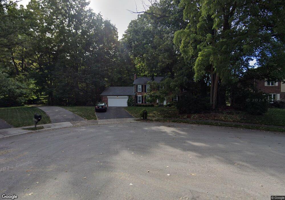
1323 Sumac Ct Carmel, IN 46033
East Carmel NeighborhoodEstimated Value: $493,000 - $558,053
4
Beds
3
Baths
3,828
Sq Ft
$138/Sq Ft
Est. Value
About This Home
This home is located at 1323 Sumac Ct, Carmel, IN 46033 and is currently estimated at $527,513, approximately $137 per square foot. 1323 Sumac Ct is a home located in Hamilton County with nearby schools including Mohawk Trails Elementary School, Clay Middle School, and Carmel High School.
Ownership History
Date
Name
Owned For
Owner Type
Purchase Details
Closed on
Sep 21, 2007
Sold by
Gayley Denise D
Bought by
Ross Michael J and Ross Elizabeth M
Current Estimated Value
Home Financials for this Owner
Home Financials are based on the most recent Mortgage that was taken out on this home.
Original Mortgage
$189,600
Outstanding Balance
$110,561
Interest Rate
5.25%
Mortgage Type
Purchase Money Mortgage
Estimated Equity
$416,952
Create a Home Valuation Report for This Property
The Home Valuation Report is an in-depth analysis detailing your home's value as well as a comparison with similar homes in the area
Home Values in the Area
Average Home Value in this Area
Purchase History
| Date | Buyer | Sale Price | Title Company |
|---|---|---|---|
| Ross Michael J | -- | None Available |
Source: Public Records
Mortgage History
| Date | Status | Borrower | Loan Amount |
|---|---|---|---|
| Open | Ross Michael J | $189,600 |
Source: Public Records
Tax History
| Year | Tax Paid | Tax Assessment Tax Assessment Total Assessment is a certain percentage of the fair market value that is determined by local assessors to be the total taxable value of land and additions on the property. | Land | Improvement |
|---|---|---|---|---|
| 2025 | $5,655 | $478,100 | $126,500 | $351,600 |
| 2024 | $5,372 | $500,900 | $126,500 | $374,400 |
| 2023 | $5,372 | $492,100 | $117,700 | $374,400 |
| 2022 | $4,322 | $380,600 | $117,700 | $262,900 |
| 2021 | $3,638 | $323,700 | $117,700 | $206,000 |
| 2020 | $3,366 | $300,000 | $117,700 | $182,300 |
| 2019 | $3,362 | $301,300 | $63,900 | $237,400 |
| 2018 | $3,081 | $282,500 | $63,900 | $218,600 |
| 2017 | $3,038 | $280,000 | $63,900 | $216,100 |
| 2016 | $2,955 | $272,300 | $63,900 | $208,400 |
| 2014 | $2,644 | $257,500 | $50,600 | $206,900 |
| 2013 | $2,644 | $245,400 | $50,600 | $194,800 |
Source: Public Records
Map
Nearby Homes
- 329 4th Ct E
- 1260 Driftwood Dr
- 727 Johnson Dr
- 13727 Smokey Ridge Overlook
- 13082 Andover Dr
- 233 Brierley Way
- 712 E Main St
- 12854 Brookshire Pkwy
- 2945 Millgate Dr
- 1419 Douglas Dr
- 13035 Wembly Rd
- 441 Ash Dr
- 4843 Essex Ct
- 1490 Warwick Ct
- 4314 Worchester Ct
- 874 Rosalind Place
- 12723 Wembly Rd
- 984 Bard Ln
- 992 Bard Ln
- 4904 Deer Ridge Dr S
- 1315 Sumac Ct
- 1335 Sumac Ct
- 1267 Smokey Row Ln
- 1349 Sumac Ct
- 1341 Sumac Ct
- 1363 Sumac Ct
- 1295 Smokey Row Ln
- 1305 Smokey Row Ln
- 1375 Sumac Ct
- 1253 Smokey Row Ln
- 350 4th Ct W
- 1387 Sumac Ct
- 455 Tulip Poplar Crest
- 469 Tulip Poplar Crest
- 338 4th Ct W
- 362 4th Ct W
- 496 Hawthorne Dr
- 512 Hawthorne Dr
- 1225 Smokey Row Ln
- 441 Tulip Poplar Crest
Your Personal Tour Guide
Ask me questions while you tour the home.