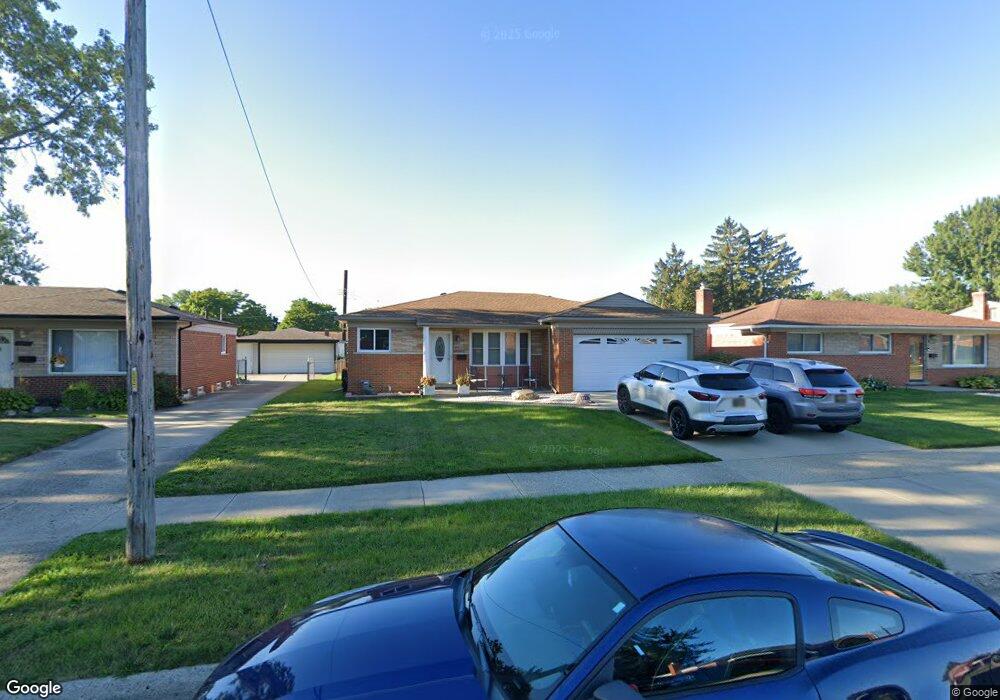
13236 Stamford Ave Warren, MI 48089
Southeast Warren NeighborhoodEstimated Value: $218,000 - $232,000
3
Beds
2
Baths
1,108
Sq Ft
$205/Sq Ft
Est. Value
About This Home
This home is located at 13236 Stamford Ave, Warren, MI 48089 and is currently estimated at $226,631, approximately $204 per square foot. 13236 Stamford Ave is a home located in Macomb County with nearby schools including Warren Woods Tower High School.
Ownership History
Date
Name
Owned For
Owner Type
Purchase Details
Closed on
Dec 8, 2000
Sold by
Adams Martha S
Bought by
Bishop Robert P
Current Estimated Value
Home Financials for this Owner
Home Financials are based on the most recent Mortgage that was taken out on this home.
Original Mortgage
$111,500
Interest Rate
7.18%
Mortgage Type
Purchase Money Mortgage
Purchase Details
Closed on
Dec 2, 1994
Sold by
Ditri Nicholas
Bought by
Malesh Dale W and Adams Martha
Create a Home Valuation Report for This Property
The Home Valuation Report is an in-depth analysis detailing your home's value as well as a comparison with similar homes in the area
Home Values in the Area
Average Home Value in this Area
Purchase History
| Date | Buyer | Sale Price | Title Company |
|---|---|---|---|
| Bishop Robert P | $123,900 | -- | |
| Malesh Dale W | $83,000 | -- |
Source: Public Records
Mortgage History
| Date | Status | Borrower | Loan Amount |
|---|---|---|---|
| Previous Owner | Bishop Robert P | $111,500 |
Source: Public Records
Tax History
| Year | Tax Paid | Tax Assessment Tax Assessment Total Assessment is a certain percentage of the fair market value that is determined by local assessors to be the total taxable value of land and additions on the property. | Land | Improvement |
|---|---|---|---|---|
| 2025 | $2,691 | $106,710 | $0 | $0 |
| 2024 | $26 | $103,100 | $0 | $0 |
| 2023 | $2,481 | $89,990 | $0 | $0 |
| 2022 | $2,433 | $76,330 | $0 | $0 |
| 2021 | $2,387 | $72,180 | $0 | $0 |
| 2020 | $2,288 | $68,360 | $0 | $0 |
| 2019 | $2,186 | $66,230 | $0 | $0 |
| 2018 | $2,207 | $50,380 | $0 | $0 |
| 2017 | $2,088 | $47,470 | $5,800 | $41,670 |
| 2016 | $2,072 | $47,470 | $0 | $0 |
| 2015 | -- | $43,740 | $0 | $0 |
| 2013 | $2,001 | $39,170 | $0 | $0 |
Source: Public Records
Map
Nearby Homes
- 26640 Schoenherr Rd
- 26703 Dover Ct
- 13203 Frazho Rd
- 27046 Clarpointe Dr
- 13850 Hartill Ave
- 0000 Frazho Rd
- 12954 Baird Ave
- 13653 Brainbridge Ave
- 27177 Shelbourne Dr
- 13429 Zagaiski Ave
- 12922 Heritage S Unit 54
- 27226 Bradner Dr
- 26608 Marilyn Ave
- 12291 E 11 Mile Rd
- 25653 Palomino Ave
- 13627 Beth Dr
- 25237 Malvina Ave
- 13510 Angela Dr
- 13513 Angela Dr
- 25520 Marilyn Ave
- 13248 Stamford Ave
- 13224 Stamford Ave
- 13212 Stamford Ave
- 13260 Stamford Ave
- 13235 Champaign Ave
- 13245 Champaign Ave
- 13223 Champaign Ave
- 13255 Stamford Ave
- 13257 Champaign Ave
- 13211 Champaign Ave
- 13227 Stamford Ave
- 13389 Bloomfield Ave
- 13267 Champaign Ave
- 13215 Stamford Ave
- 13354 Bloomfield Ave
- 13180 Stamford Ave
- 13203 Stamford Ave
- 13377 Bloomfield Ave
- 13305 Champaign Ave
- 13159 Champaign Ave
Your Personal Tour Guide
Ask me questions while you tour the home.