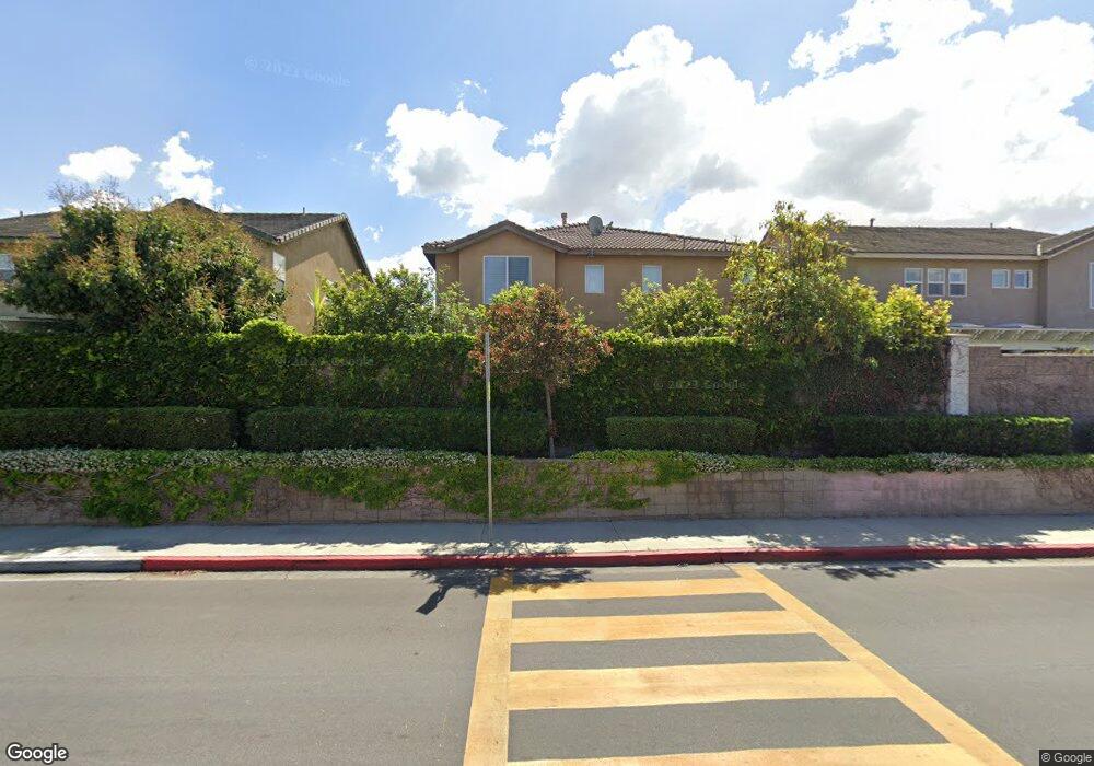
13238 Michael Rainford Cir Garden Grove, CA 92843
Estimated Value: $1,304,533 - $1,621,000
5
Beds
3
Baths
2,619
Sq Ft
$544/Sq Ft
Est. Value
About This Home
This home is located at 13238 Michael Rainford Cir, Garden Grove, CA 92843 and is currently estimated at $1,425,633, approximately $544 per square foot. 13238 Michael Rainford Cir is a home located in Orange County with nearby schools including Mitchell Elementary School, Donald S. Jordan Intermediate School, and Garden Grove High School.
Ownership History
Date
Name
Owned For
Owner Type
Purchase Details
Closed on
Sep 17, 2015
Sold by
Dang Henry H and Phan My Le T
Bought by
Phan My Le T and Dang Henry H
Current Estimated Value
Home Financials for this Owner
Home Financials are based on the most recent Mortgage that was taken out on this home.
Original Mortgage
$510,000
Outstanding Balance
$400,024
Interest Rate
3.87%
Mortgage Type
Adjustable Rate Mortgage/ARM
Estimated Equity
$1,025,609
Purchase Details
Closed on
Feb 20, 2004
Sold by
Western Pacific Housing Inc
Bought by
Dang Henry H and Phan My Le T
Home Financials for this Owner
Home Financials are based on the most recent Mortgage that was taken out on this home.
Original Mortgage
$449,889
Interest Rate
4.25%
Mortgage Type
Purchase Money Mortgage
Create a Home Valuation Report for This Property
The Home Valuation Report is an in-depth analysis detailing your home's value as well as a comparison with similar homes in the area
Home Values in the Area
Average Home Value in this Area
Purchase History
| Date | Buyer | Sale Price | Title Company |
|---|---|---|---|
| Phan My Le T | -- | North American Title Co Inc | |
| Dang Henry H | $562,500 | First American Title Company |
Source: Public Records
Mortgage History
| Date | Status | Borrower | Loan Amount |
|---|---|---|---|
| Open | Phan My Le T | $510,000 | |
| Previous Owner | Dang Henry H | $449,889 | |
| Closed | Dang Henry H | $56,236 |
Source: Public Records
Tax History Compared to Growth
Tax History
| Year | Tax Paid | Tax Assessment Tax Assessment Total Assessment is a certain percentage of the fair market value that is determined by local assessors to be the total taxable value of land and additions on the property. | Land | Improvement |
|---|---|---|---|---|
| 2025 | $9,610 | $802,538 | $392,998 | $409,540 |
| 2024 | $9,610 | $786,802 | $385,292 | $401,510 |
| 2023 | $9,434 | $771,375 | $377,737 | $393,638 |
| 2022 | $9,235 | $756,250 | $370,330 | $385,920 |
| 2021 | $9,136 | $741,422 | $363,069 | $378,353 |
| 2020 | $9,013 | $733,820 | $359,346 | $374,474 |
| 2019 | $8,834 | $719,432 | $352,300 | $367,132 |
| 2018 | $8,655 | $705,326 | $345,392 | $359,934 |
| 2017 | $8,315 | $673,110 | $331,981 | $341,129 |
| 2016 | $8,045 | $673,110 | $331,981 | $341,129 |
| 2015 | $7,933 | $663,000 | $350,180 | $312,820 |
| 2014 | $6,949 | $581,000 | $268,180 | $312,820 |
Source: Public Records
Map
Nearby Homes
- 13372 Jessica Dr
- 10422 Bonnie Dr
- 10391 Mildred Ave
- 13611 Glenhaven Dr
- 13161 Adland St
- 10401 W Garden Grove Blvd Unit 53
- 12600 Euclid St Unit 19
- 12555 Euclid St Unit 61
- 12555 Euclid St Unit 2
- 12555 Euclid St Unit 79
- 10371 Garden Grove Blvd Unit 16
- 10371 Garden Grove Blvd Unit 20
- 11052 Peppertree Ln
- 10094 Larson Ave
- 13801 Shirley St Unit 25
- 13621 Malibu St
- 10580 Lakeside Dr N Unit N
- 10580 Lakeside Dr N Unit E
- 10560 Lakeside Dr N Unit B
- 10520 Lakeside Dr N Unit L
- 13248 Michael Rainford Cir
- 13228 Michael Rainford Cir
- 13246 Michael Rainford Cir
- 13278 Michael Rainford Cir
- 13252 Michael Rainford Cir
- 13237 Michael Rainford Cir
- 13288 Michael Rainford Cir
- 13247 Michael Rainford Cir
- 13227 Michael Rainford Cir
- 13273 Michael Rainford Cir
- 13205 Michael Rainford Cir
- 13217 Michael Rainford Cir
- 13267 Michael Rainford Cir
- 13245 Michael Rainford Cir
- 13256 Michael Rainford Cir
- 13201 Michael Rainford Cir
- 13298 Michael Rainford Cir
- 13287 Michael Rainford Cir
- 13251 Michael Rainford Cir
- 13255 Michael Rainford Cir