1324 Fuhrman Rd Cincinnati, OH 45215
Estimated Value: $143,348 - $163,000
--
Bed
--
Bath
--
Sq Ft
6,055
Sq Ft Lot
About This Home
This home is located at 1324 Fuhrman Rd, Cincinnati, OH 45215 and is currently estimated at $153,174. 1324 Fuhrman Rd is a home located in Hamilton County with nearby schools including Reading Community High School, Saints Peter and Paul Academy, and Linden Grove School.
Ownership History
Date
Name
Owned For
Owner Type
Purchase Details
Closed on
May 21, 2025
Sold by
Schmidt Michael C and Schmidt Joyce L
Bought by
Schmidt Michael C and Schmidt Joyce L
Current Estimated Value
Purchase Details
Closed on
Jun 1, 2000
Sold by
Schmidt Joyce and Schmidt Joyce L
Bought by
Schmidt Michael C and Schmidt Michael
Home Financials for this Owner
Home Financials are based on the most recent Mortgage that was taken out on this home.
Original Mortgage
$35,822
Interest Rate
8.64%
Mortgage Type
Seller Take Back
Purchase Details
Closed on
Dec 2, 1994
Sold by
Schehr Barbara Sue
Bought by
Schmidt Joyce and Schmidt Michael C
Purchase Details
Closed on
Dec 1, 1994
Sold by
Snell Howard D
Bought by
Schmidt Joyce and Schmidt Michael C
Create a Home Valuation Report for This Property
The Home Valuation Report is an in-depth analysis detailing your home's value as well as a comparison with similar homes in the area
Home Values in the Area
Average Home Value in this Area
Purchase History
| Date | Buyer | Sale Price | Title Company |
|---|---|---|---|
| Schmidt Michael C | -- | None Listed On Document | |
| Schmidt Michael C | -- | -- | |
| Schmidt Joyce | -- | -- | |
| Schmidt Joyce | -- | -- |
Source: Public Records
Mortgage History
| Date | Status | Borrower | Loan Amount |
|---|---|---|---|
| Previous Owner | Schmidt Michael C | $35,822 |
Source: Public Records
Tax History Compared to Growth
Tax History
| Year | Tax Paid | Tax Assessment Tax Assessment Total Assessment is a certain percentage of the fair market value that is determined by local assessors to be the total taxable value of land and additions on the property. | Land | Improvement |
|---|---|---|---|---|
| 2024 | $482 | $8,880 | $1,201 | $7,679 |
| 2023 | $481 | $8,880 | $1,201 | $7,679 |
| 2022 | $538 | $7,714 | $1,043 | $6,671 |
| 2021 | $460 | $7,714 | $1,043 | $6,671 |
| 2020 | $454 | $7,714 | $1,043 | $6,671 |
| 2019 | $442 | $6,829 | $924 | $5,905 |
| 2018 | $442 | $6,829 | $924 | $5,905 |
| 2017 | $423 | $6,829 | $924 | $5,905 |
| 2016 | $263 | $4,215 | $907 | $3,308 |
| 2015 | $262 | $4,215 | $907 | $3,308 |
| 2014 | $230 | $4,215 | $907 | $3,308 |
| 2013 | $233 | $4,298 | $924 | $3,374 |
Source: Public Records
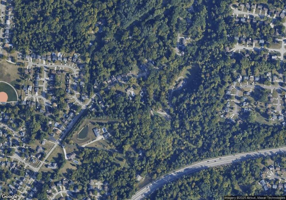
Map
Nearby Homes
- 1194 Fuhrman Rd
- 2451 Hunt Rd
- 2598 Maple Tree Ct
- 2413 Carol Dr
- 2590 Hunt Rd
- 2626 Hunt Rd
- 1246 Thurnridge Dr
- 113 Waxwing Dr
- 1626 Krylon Dr
- 8907 Eldora Dr
- 1684 Sanborn Dr
- 3733 Lyndon Center Ct
- 3843 Blackwood Ct
- 8757 Wicklow Ave
- 796 Kenray Ct
- 234 Mcguire Ln
- 3558 Lobelia Dr
- 2071 Longmeadow Ln
- 2127 Longmeadow Ln
- 69 Orchard Knoll Dr
- 1324 Fuhrman Rd
- 1318 Fuhrman Rd
- 1322 Fuhrman Rd
- 1322 Fuhrman Rd
- 1328 Fuhrman Rd
- 1316 Fuhrman Rd
- 1327 Fuhrman Rd
- 1325 Fuhrman Rd
- 1323 Fuhrman Rd
- 1314 Fuhrman Rd
- 1333 Fuhrman Rd
- 1321 Fuhrman Rd
- 1335 Fuhrman Rd
- 1319 Fuhrman Rd
- 1330 Fuhrman Rd
- 1312 Fuhrman Rd
- 1317 Fuhrman Rd
- 1308 Fuhrman Rd
- 1313 Fuhrman Rd
- 1220 Fuhrman Rd