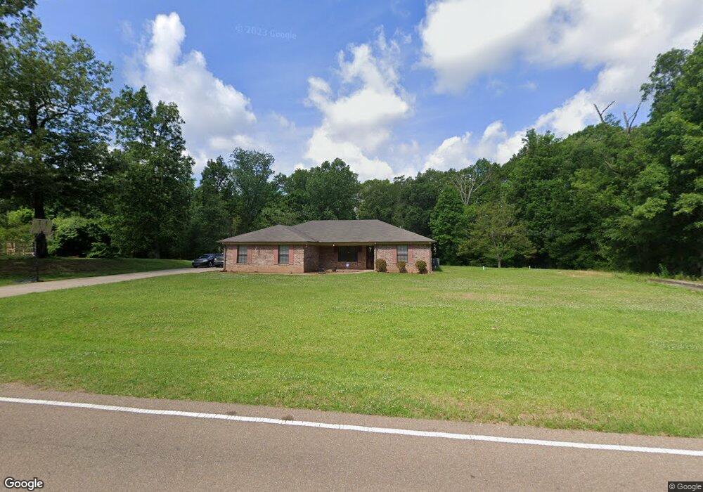
1325 Clinton Tinnin Rd Clinton, MS 39056
Estimated Value: $263,198 - $354,000
4
Beds
2
Baths
1,660
Sq Ft
$190/Sq Ft
Est. Value
About This Home
This home is located at 1325 Clinton Tinnin Rd, Clinton, MS 39056 and is currently estimated at $315,300, approximately $189 per square foot. 1325 Clinton Tinnin Rd is a home with nearby schools including Clinton Park Elementary School, Eastside Elementary School, and Northside Elementary School.
Ownership History
Date
Name
Owned For
Owner Type
Purchase Details
Closed on
Apr 5, 2011
Sold by
Loan Palm Properties Llc
Bought by
Jones Johnny Lee
Current Estimated Value
Home Financials for this Owner
Home Financials are based on the most recent Mortgage that was taken out on this home.
Original Mortgage
$153,520
Outstanding Balance
$109,311
Interest Rate
5.5%
Mortgage Type
FHA
Estimated Equity
$205,989
Purchase Details
Closed on
Nov 2, 2010
Sold by
Jones Johnny
Bought by
Lone Palm Properties
Create a Home Valuation Report for This Property
The Home Valuation Report is an in-depth analysis detailing your home's value as well as a comparison with similar homes in the area
Home Values in the Area
Average Home Value in this Area
Purchase History
| Date | Buyer | Sale Price | Title Company |
|---|---|---|---|
| Jones Johnny Lee | -- | -- | |
| Lone Palm Properties | -- | -- |
Source: Public Records
Mortgage History
| Date | Status | Borrower | Loan Amount |
|---|---|---|---|
| Open | Jones Johnny Lee | $153,520 |
Source: Public Records
Tax History Compared to Growth
Tax History
| Year | Tax Paid | Tax Assessment Tax Assessment Total Assessment is a certain percentage of the fair market value that is determined by local assessors to be the total taxable value of land and additions on the property. | Land | Improvement |
|---|---|---|---|---|
| 2025 | $1,673 | $12,850 | $2,040 | $10,810 |
| 2024 | $1,673 | $12,850 | $2,040 | $10,810 |
| 2023 | $1,673 | $12,850 | $2,040 | $10,810 |
| 2022 | $1,953 | $12,850 | $2,040 | $10,810 |
| 2021 | $1,653 | $12,850 | $2,040 | $10,810 |
| 2020 | $1,609 | $12,645 | $2,040 | $10,605 |
| 2019 | $1,647 | $12,645 | $2,040 | $10,605 |
| 2018 | $1,647 | $12,645 | $2,040 | $10,605 |
| 2017 | $1,575 | $12,645 | $2,040 | $10,605 |
| 2016 | $1,575 | $12,645 | $2,040 | $10,605 |
| 2015 | $1,519 | $12,308 | $2,040 | $10,268 |
| 2014 | $1,519 | $12,308 | $2,040 | $10,268 |
Source: Public Records
Map
Nearby Homes
- 102 Stafford Dr
- 130 Pinehaven Place
- 0 Clinton-Tinnin Unit 4126141
- 0 Clinton-Tinnin Unit 4101981
- 73 Canebrake Ct
- 112 Catherine Blvd
- 108 Catherine Blvd
- 0 Copper Creek Dr Unit 4113564
- 0 Copper Creek Dr Unit 4113527
- 123 Freeland Ln
- 101 Kentucky Way
- CAMDEN Plan at Horseshoe Bend
- DESTIN Plan at Horseshoe Bend
- JASMINE Plan at Horseshoe Bend
- HOLLY Plan at Horseshoe Bend
- Victoria Plan at Horseshoe Bend
- 206 Saratoga Springs Ave
- 202 Saratoga Springs Ave
- 105 Twain Trail
- 112 Horseshoe Blvd
- 1327 Clinton Tinnin Rd
- 1281 Clinton Tinnin Rd
- 101 Creek Rd
- 120 Stafford Dr
- 112 Stafford Dr
- 116 Stafford Dr
- 114 Stafford Dr
- 111 Creek Rd
- 100 Creek Rd
- 110 Creek Rd
- 110 Stafford Dr
- 0 Creek Rd Unit 1,2,3 227917
- 0 Creek Rd Unit 1,2,3 1227917
- 119 Stafford Dr
- 123 Stafford Dr
- 202 Stafford Dr
- 115 Stafford Dr
- 113 Stafford Dr
- 108 Stafford Dr
- 203 Stafford Dr