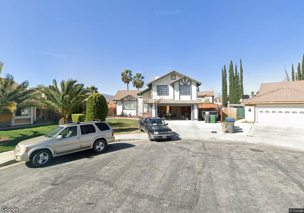
1326 Coventry Place Palmdale, CA 93551
West Palmdale NeighborhoodEstimated Value: $506,678 - $566,000
4
Beds
3
Baths
1,685
Sq Ft
$311/Sq Ft
Est. Value
About This Home
This home is located at 1326 Coventry Place, Palmdale, CA 93551 and is currently estimated at $523,420, approximately $310 per square foot. 1326 Coventry Place is a home located in Los Angeles County with nearby schools including Summerwind Elementary School, David G. Millen Magnet Academy, and Highland High School.
Ownership History
Date
Name
Owned For
Owner Type
Purchase Details
Closed on
Aug 13, 2012
Sold by
Burnias Gilbert Dominic and Burnias Gilbert C
Bought by
Burnias Gilbert Dominic and Burnias Jessica L
Current Estimated Value
Home Financials for this Owner
Home Financials are based on the most recent Mortgage that was taken out on this home.
Original Mortgage
$252,710
Interest Rate
3.53%
Mortgage Type
New Conventional
Purchase Details
Closed on
Apr 11, 2005
Sold by
Burnias Gilbert C and Burnias Mary Linda
Bought by
Burnias Gilbert Dominic and Burnias Gilbert C
Create a Home Valuation Report for This Property
The Home Valuation Report is an in-depth analysis detailing your home's value as well as a comparison with similar homes in the area
Home Values in the Area
Average Home Value in this Area
Purchase History
| Date | Buyer | Sale Price | Title Company |
|---|---|---|---|
| Burnias Gilbert Dominic | -- | None Available | |
| Burnias Gilbert Dominic | -- | Ticor Title Co Of California |
Source: Public Records
Mortgage History
| Date | Status | Borrower | Loan Amount |
|---|---|---|---|
| Closed | Burnias Gilbert Dominic | $252,710 |
Source: Public Records
Tax History Compared to Growth
Tax History
| Year | Tax Paid | Tax Assessment Tax Assessment Total Assessment is a certain percentage of the fair market value that is determined by local assessors to be the total taxable value of land and additions on the property. | Land | Improvement |
|---|---|---|---|---|
| 2025 | $3,455 | $178,151 | $43,983 | $134,168 |
| 2024 | $3,455 | $174,659 | $43,121 | $131,538 |
| 2023 | $3,397 | $171,235 | $42,276 | $128,959 |
| 2022 | $3,285 | $167,879 | $41,448 | $126,431 |
| 2021 | $3,191 | $164,588 | $40,636 | $123,952 |
| 2019 | $3,116 | $159,709 | $39,432 | $120,277 |
| 2018 | $3,070 | $156,578 | $38,659 | $117,919 |
| 2016 | $2,857 | $150,499 | $37,158 | $113,341 |
| 2015 | $2,825 | $148,239 | $36,600 | $111,639 |
| 2014 | $2,787 | $145,337 | $35,884 | $109,453 |
Source: Public Records
Map
Nearby Homes
- 1225 Stanfill Rd
- 1555 Berkshire Dr
- 1234 Wellington Dr
- 0000 27 Ave
- 39366 11th St W
- 39566 Dunbar St
- 39221 Foxholm Dr
- 1792 W Avenue p4
- 1515 W Avenue o12
- 39834 16th St W
- 39524 Hawthorne St
- 38994 Foxholm Dr
- 38953 Foxholm Dr
- 2038 Falcon Ave
- 1796 Vincent Dr
- 38869 Juniper Tree Rd
- 38895 Silica Dr
- 39240 Gunsmoke Ct
- 38910 Sage Tree St
- 0 10th St W Unit SR24203861
- 1320 Coventry Place
- 39418 Southcliff Way
- 39414 Southcliff Way
- 1327 Coventry Place
- 1329 Berkshire Dr
- 1335 Berkshire Dr
- 39428 Southcliff Way
- 1323 Berkshire Dr
- 1316 Coventry Place
- 1339 Berkshire Dr
- 1321 Coventry Place
- 39432 Southcliff Way
- 1313 Berkshire Dr
- 1317 Coventry Place
- 1306 Coventry Place
- 1330 Kings Rd
- 1334 Kings Rd
- 1309 Berkshire Dr
- 1322 Kings Rd
- 39417 Southcliff Way