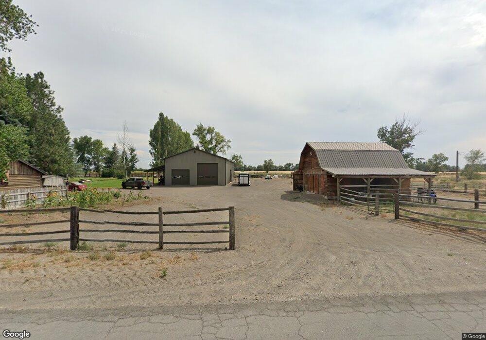
1326 E 400 N Saint Anthony, ID 83445
Estimated Value: $75,000 - $824,000
Studio
--
Bath
--
Sq Ft
56,628
Sq Ft
About This Home
This home is located at 1326 E 400 N, Saint Anthony, ID 83445 and is currently estimated at $425,969. 1326 E 400 N is a home with nearby schools including Central Elementary School, Kershaw Intermediate School, and Sugar-Salem Junior High School.
Ownership History
Date
Name
Owned For
Owner Type
Purchase Details
Closed on
Oct 11, 2013
Sold by
Wilson Ida M
Bought by
Wilson David D and Wilson Judith A
Current Estimated Value
Home Financials for this Owner
Home Financials are based on the most recent Mortgage that was taken out on this home.
Original Mortgage
$247,600
Outstanding Balance
$185,980
Interest Rate
4.49%
Mortgage Type
New Conventional
Estimated Equity
$239,989
Create a Home Valuation Report for This Property
The Home Valuation Report is an in-depth analysis detailing your home's value as well as a comparison with similar homes in the area
Purchase History
| Date | Buyer | Sale Price | Title Company |
|---|---|---|---|
| Wilson David D | -- | First American Title |
Source: Public Records
Mortgage History
| Date | Status | Borrower | Loan Amount |
|---|---|---|---|
| Open | Wilson David D | $247,600 |
Source: Public Records
Tax History
| Year | Tax Paid | Tax Assessment Tax Assessment Total Assessment is a certain percentage of the fair market value that is determined by local assessors to be the total taxable value of land and additions on the property. | Land | Improvement |
|---|---|---|---|---|
| 2025 | $219 | $56,890 | $49,500 | $7,390 |
| 2024 | $223 | $56,890 | $49,500 | $7,390 |
| 2023 | $225 | $56,890 | $49,500 | $7,390 |
| 2022 | $309 | $46,890 | $39,500 | $7,390 |
| 2021 | $255 | $29,516 | $22,126 | $7,390 |
| 2020 | $296 | $29,516 | $22,126 | $7,390 |
| 2019 | $291 | $29,516 | $22,126 | $7,390 |
| 2018 | $284 | $29,516 | $22,126 | $7,390 |
| 2017 | $3 | $28,852 | $21,462 | $7,390 |
| 2016 | $314 | $28,852 | $21,462 | $7,390 |
| 2015 | $339 | $28,852 | $0 | $0 |
| 2014 | $229 | $28,852 | $0 | $0 |
| 2013 | $229 | $28,852 | $0 | $0 |
Source: Public Records
Map
Nearby Homes
- TBD Henry's Fork Way
- 1816 Teton View Dr
- 1821 E E 170 N
- 371 N 1900 E
- LOT 2 E 350 N
- LOT 4 E 350 N
- LOT 1 E 350 N
- LOT 3 E 350 N
- LOT 5 E 350 N
- TBD Fort Henry Estates
- 1825 E 170 N
- 3625 N 2000 W
- Lot 1 Bl 3 Trapper Ln
- 2120 N 6000 W
- 3756 Orrin Ln
- 2561 Silverleaf Ln
- 3351 Henry's Fork Way
- 3329 Henry's Fork Way
- 3779 Henry's Fork Way
- 2260 Clover Meadow Way
Your Personal Tour Guide
Ask me questions while you tour the home.