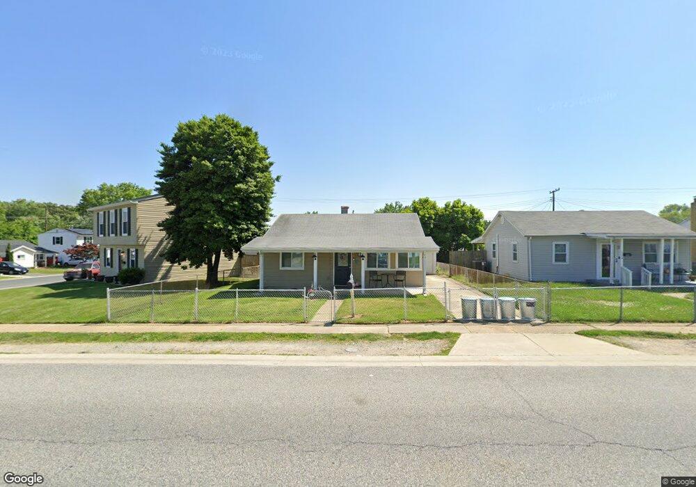
1326 Fuselage Ave Middle River, MD 21220
Estimated Value: $249,000 - $276,000
3
Beds
1
Bath
1,082
Sq Ft
$245/Sq Ft
Est. Value
About This Home
This home is located at 1326 Fuselage Ave, Middle River, MD 21220 and is currently estimated at $265,207, approximately $245 per square foot. 1326 Fuselage Ave is a home located in Baltimore County with nearby schools including Orems Elementary, Stemmers Run Middle School, and Kenwood High.
Ownership History
Date
Name
Owned For
Owner Type
Purchase Details
Closed on
Sep 23, 2010
Sold by
Wells Fargo Bank Na
Bought by
Huth Hill Jennifer
Current Estimated Value
Home Financials for this Owner
Home Financials are based on the most recent Mortgage that was taken out on this home.
Original Mortgage
$100,644
Outstanding Balance
$67,096
Interest Rate
4.63%
Mortgage Type
FHA
Estimated Equity
$198,111
Purchase Details
Closed on
May 26, 2009
Sold by
James Mack
Bought by
Wells Fargo Bank N A
Purchase Details
Closed on
Apr 22, 1998
Sold by
Phoebus William
Bought by
James Mack and James Bessie L
Create a Home Valuation Report for This Property
The Home Valuation Report is an in-depth analysis detailing your home's value as well as a comparison with similar homes in the area
Home Values in the Area
Average Home Value in this Area
Purchase History
| Date | Buyer | Sale Price | Title Company |
|---|---|---|---|
| Huth Hill Jennifer | $102,000 | -- | |
| Wells Fargo Bank N A | $146,583 | -- | |
| James Mack | $76,000 | -- |
Source: Public Records
Mortgage History
| Date | Status | Borrower | Loan Amount |
|---|---|---|---|
| Open | Huth Hill Jennifer | $100,644 |
Source: Public Records
Tax History Compared to Growth
Tax History
| Year | Tax Paid | Tax Assessment Tax Assessment Total Assessment is a certain percentage of the fair market value that is determined by local assessors to be the total taxable value of land and additions on the property. | Land | Improvement |
|---|---|---|---|---|
| 2025 | $3,294 | $175,667 | -- | -- |
| 2024 | $3,294 | $165,133 | $0 | $0 |
| 2023 | $1,544 | $154,600 | $52,700 | $101,900 |
| 2022 | $2,876 | $146,467 | $0 | $0 |
| 2021 | $2,214 | $138,333 | $0 | $0 |
| 2020 | $2,214 | $130,200 | $52,700 | $77,500 |
| 2019 | $2,112 | $129,600 | $0 | $0 |
| 2018 | $2,135 | $129,000 | $0 | $0 |
| 2017 | $2,075 | $128,400 | $0 | $0 |
| 2016 | $2,404 | $126,533 | $0 | $0 |
| 2015 | $2,404 | $124,667 | $0 | $0 |
| 2014 | $2,404 | $122,800 | $0 | $0 |
Source: Public Records
Map
Nearby Homes
- 18 Right Wing Dr
- 23 Blister St
- 1335 Canberra Dr
- 1329 Canberra Dr
- 2114 Oakland Rd
- 44 Left Wing Dr
- 53 Longeron Dr
- 12 N Hawthorne Rd
- 2125 Oakland Rd
- 1040 Middlesex Rd
- 320 Harding Ave
- 1024 Middlesex Rd
- 1111 Cord St
- 105 Seamaster Rd
- 13 Harrison Ave N
- 171 Orville Rd
- 23 Holcumb Ct
- 958 Arncliffe Rd
- 1008 Fuselage Ave
- 932 Middlesex Rd
- 1324 Fuselage Ave
- 1328 Fuselage Ave
- 1322 Fuselage Ave
- 35 Right Aileron
- 33 Right Aileron
- 37 Right Aileron
- 31 Right Aileron
- 1320 Fuselage Ave
- 1327 Fuselage Ave
- 1323 Fuselage Ave
- 64 Right Wing Dr
- 62 Right Wing Dr
- 1321 Fuselage Ave
- 1318 Fuselage Ave
- 60 Right Wing Dr
- 139 Dihedral Dr
- 1319 Fuselage Ave
- 27 Right Aileron
- 58 Right Wing Dr
- 49 Right Wing Dr