13262 Leland Rd Oregon City, OR 97045
Estimated Value: $916,000 - $1,368,450
4
Beds
2
Baths
2,910
Sq Ft
$413/Sq Ft
Est. Value
About This Home
This home is located at 13262 Leland Rd, Oregon City, OR 97045 and is currently estimated at $1,200,863, approximately $412 per square foot. 13262 Leland Rd is a home located in Clackamas County with nearby schools including Carus School, Cecile Trost Elementary School, and Baker Prairie Middle School.
Ownership History
Date
Name
Owned For
Owner Type
Purchase Details
Closed on
Sep 16, 2013
Sold by
Herson Judith Ann
Bought by
Herson Hord Scott L
Current Estimated Value
Purchase Details
Closed on
Nov 29, 2000
Sold by
Perala Dennis G
Bought by
Herson Hord Scott L and Herson Hord Judy A
Home Financials for this Owner
Home Financials are based on the most recent Mortgage that was taken out on this home.
Original Mortgage
$319,900
Outstanding Balance
$119,244
Interest Rate
7.86%
Estimated Equity
$1,081,619
Purchase Details
Closed on
Aug 13, 1997
Sold by
Sandberg Daniel E and Sandberg Rory
Bought by
Perala Dennis G
Home Financials for this Owner
Home Financials are based on the most recent Mortgage that was taken out on this home.
Original Mortgage
$350,000
Interest Rate
10.47%
Create a Home Valuation Report for This Property
The Home Valuation Report is an in-depth analysis detailing your home's value as well as a comparison with similar homes in the area
Home Values in the Area
Average Home Value in this Area
Purchase History
| Date | Buyer | Sale Price | Title Company |
|---|---|---|---|
| Herson Hord Scott L | -- | None Available | |
| Herson Hord Scott L | $399,900 | Pacific Nw Title | |
| Perala Dennis G | $439,500 | Chicago Title Insurance Co |
Source: Public Records
Mortgage History
| Date | Status | Borrower | Loan Amount |
|---|---|---|---|
| Open | Herson Hord Scott L | $319,900 | |
| Previous Owner | Perala Dennis G | $350,000 |
Source: Public Records
Tax History Compared to Growth
Tax History
| Year | Tax Paid | Tax Assessment Tax Assessment Total Assessment is a certain percentage of the fair market value that is determined by local assessors to be the total taxable value of land and additions on the property. | Land | Improvement |
|---|---|---|---|---|
| 2024 | $4,197 | $286,990 | -- | -- |
| 2023 | $4,197 | $278,757 | $0 | $0 |
| 2022 | $3,835 | $270,770 | $0 | $0 |
| 2021 | $3,686 | $263,000 | $0 | $0 |
| 2020 | $3,632 | $255,463 | $0 | $0 |
| 2019 | $3,448 | $248,153 | $0 | $0 |
| 2018 | $3,433 | $241,042 | $0 | $0 |
| 2017 | $3,354 | $234,146 | $0 | $0 |
| 2016 | $3,238 | $227,459 | $0 | $0 |
| 2015 | $3,150 | $220,954 | $0 | $0 |
| 2014 | $3,053 | $214,648 | $0 | $0 |
Source: Public Records
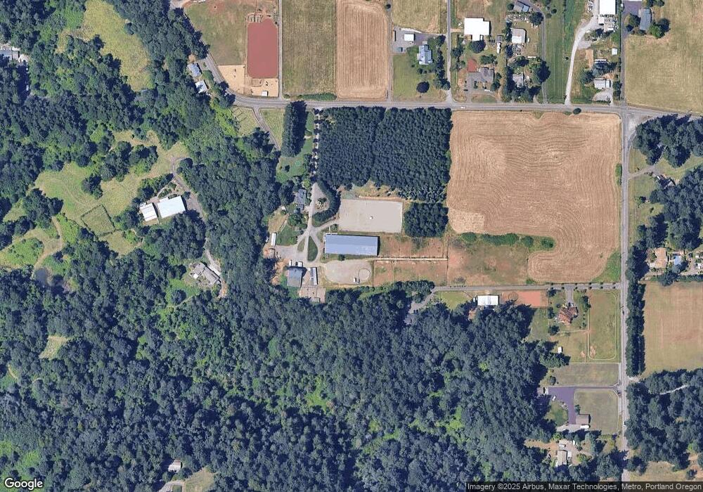
Map
Nearby Homes
- 13631 S New Era Rd
- 13095 S New Era Rd
- 12950 S New Era Rd
- 22396 S Parrot Creek Rd
- 12426 S Criteser Rd
- 13492 S Warnock Rd
- 13392 S Carus Rd
- 12720 S Carus Rd
- 22001 S Monte Carlo Way
- 14546 S Kelmsley Dr
- 20265 Oregon 213
- 14212 S Mueller Rd
- 13910 Caufield Rd
- 14040 Conway Dr
- 22651 S Penman Rd
- 20194 Canyon Ridge Dr
- 20415 Highway 213
- 13172 Gaffney Ln
- 13899 Traveler Rd
- 19903 Leland Rd
- 13262 S Leland Rd Unit I
- 13262 S Leland Rd
- 13262 S Leland Rd-Relisted
- 13775 S New Era Rd
- 13244 Leland Rd
- 21377 S Milligan Rd
- 13202 Leland Rd
- 13765 S New Era Rd
- 13755 S New Era Rd
- 13395 Leland Rd
- 13429 S Leland Rd
- 13429 Leland Rd
- 13281 S New Era Rd
- 13173 S New Era Rd
- 13487 Leland Rd
- 13487 S Leland Rd
- 13751 S New Era Rd
- 13876 S New Era Rd
- 13900 S New Era Rd
- 13455 Leland Rd