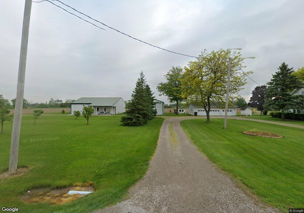
13266 State Route 281 Holgate, OH 43527
Estimated Value: $147,000 - $627,092
4
Beds
1
Bath
1,710
Sq Ft
$186/Sq Ft
Est. Value
About This Home
This home is located at 13266 State Route 281, Holgate, OH 43527 and is currently estimated at $317,697, approximately $185 per square foot. 13266 State Route 281 is a home located in Henry County with nearby schools including Napoleon Elementary School and Napoleon Junior/Senior High School.
Ownership History
Date
Name
Owned For
Owner Type
Purchase Details
Closed on
Sep 20, 2017
Sold by
Prigge Rory J and Prigge Janice L
Bought by
Prigge Rory J and Prigge Janice L
Current Estimated Value
Purchase Details
Closed on
Sep 30, 2013
Sold by
Prigge Rory J and Prigge Janice L
Bought by
Prigge Rory J and Prigge Janice L
Purchase Details
Closed on
Jun 4, 2004
Sold by
Prigge Lennis J and Prigge Margaret
Bought by
Prigge Rory J
Purchase Details
Closed on
Feb 27, 2004
Sold by
Prigge Lennis J and Prigge Rory J
Bought by
Prigge Lennis J and Prigge Rory J
Create a Home Valuation Report for This Property
The Home Valuation Report is an in-depth analysis detailing your home's value as well as a comparison with similar homes in the area
Home Values in the Area
Average Home Value in this Area
Purchase History
| Date | Buyer | Sale Price | Title Company |
|---|---|---|---|
| Prigge Rory J | -- | Attorney | |
| Prigge Rory J | -- | Attorney | |
| Prigge Rory J | -- | -- | |
| Prigge Lennis J | -- | -- |
Source: Public Records
Tax History Compared to Growth
Tax History
| Year | Tax Paid | Tax Assessment Tax Assessment Total Assessment is a certain percentage of the fair market value that is determined by local assessors to be the total taxable value of land and additions on the property. | Land | Improvement |
|---|---|---|---|---|
| 2024 | $4,593 | $202,620 | $152,710 | $49,910 |
| 2023 | $4,593 | $202,620 | $152,710 | $49,910 |
| 2022 | $3,454 | $147,840 | $63,620 | $84,220 |
| 2021 | $3,489 | $173,090 | $130,980 | $42,110 |
| 2020 | $3,743 | $173,090 | $130,980 | $42,110 |
| 2019 | $4,453 | $171,290 | $132,720 | $38,570 |
| 2018 | $4,527 | $89,030 | $50,460 | $38,570 |
| 2017 | $4,485 | $91,050 | $52,480 | $38,570 |
| 2016 | $5,060 | $101,710 | $66,570 | $35,140 |
| 2015 | $4,976 | $101,710 | $66,570 | $35,140 |
| 2014 | $3,171 | $101,710 | $66,570 | $35,140 |
| 2013 | $3,171 | $59,280 | $24,140 | $35,140 |
Source: Public Records
Map
Nearby Homes
- 422 N Wilhelm St
- 215 Cherry St
- H011 County Road 17
- 16052 State Route 424
- 104 S Turkey Foot Ave
- 104 W High St
- 104 E High St
- 208 N Henry St
- 407 W High St
- H737 County Road 8
- 220 Church St
- 415 E Hubbard St
- N-839 County Road 11c County Rd
- 150 Wayne Park Dr
- 43 Oak Dr
- 00 County Road 14
- 15721 County Road C
- 538 Huddle Rd
- 832 E Graceway Dr
- 511 W Maumee Ave
- I043 State Route 108
- I013 State Route 108
- I154 State Route 108
- 0 I154 St Rt 108
- 0 I-154 State Route 108
- 154 Ohio 108
- 13 S Keyser St
- I229 State Route 108
- E965 County Road 10a
- 13535 State Route 281
- E965 County Road 10a
- 12950 State Route 281
- H-673 Sr 108
- 673 State Route 108
- H673 State Route 108
- H673 State Route 108
- H623 State Route 108
- 623 State Route 108
- H623 State Route 108
- H791 County Road 10a