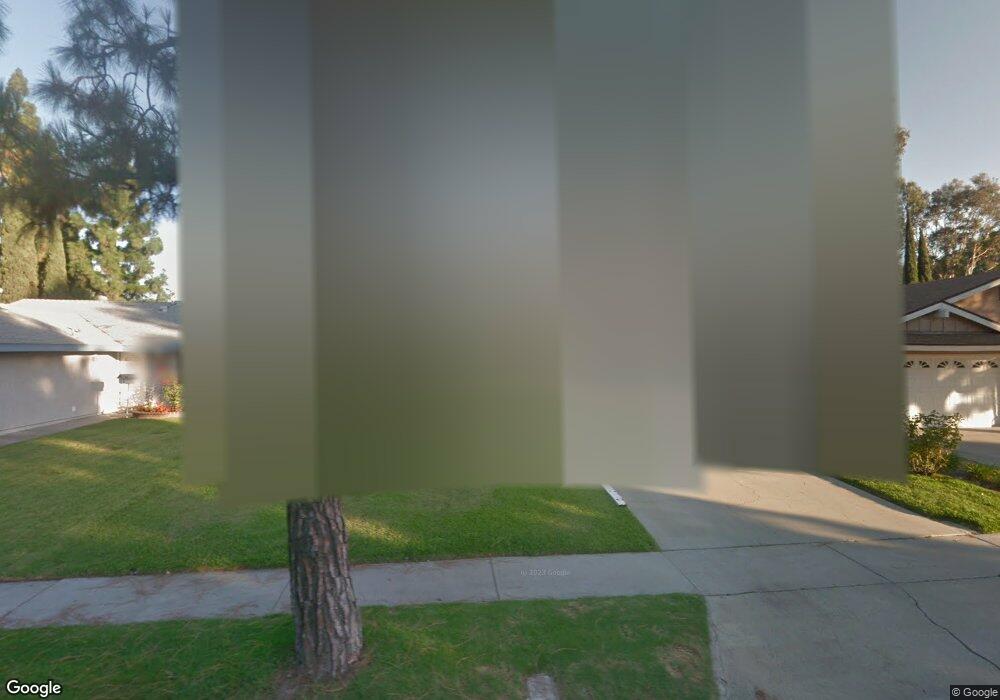
13268 Droxford St Cerritos, CA 90703
Estimated Value: $1,028,453 - $1,103,000
3
Beds
1
Bath
1,853
Sq Ft
$577/Sq Ft
Est. Value
About This Home
This home is located at 13268 Droxford St, Cerritos, CA 90703 and is currently estimated at $1,068,613, approximately $576 per square foot. 13268 Droxford St is a home located in Los Angeles County with nearby schools including Frank C. Leal Elementary School, Tetzlaff (Martin B.) Middle School, and Cerritos High School.
Ownership History
Date
Name
Owned For
Owner Type
Purchase Details
Closed on
Oct 28, 2003
Sold by
Sprague Bonnie Jean and Sprague Roy Lyman
Bought by
Sprague Roy L
Current Estimated Value
Purchase Details
Closed on
Jan 3, 1993
Sold by
Sprague Bonnie Jean
Bought by
Sprague Bonnie Jean
Home Financials for this Owner
Home Financials are based on the most recent Mortgage that was taken out on this home.
Original Mortgage
$106,800
Interest Rate
7.38%
Create a Home Valuation Report for This Property
The Home Valuation Report is an in-depth analysis detailing your home's value as well as a comparison with similar homes in the area
Home Values in the Area
Average Home Value in this Area
Purchase History
| Date | Buyer | Sale Price | Title Company |
|---|---|---|---|
| Sprague Roy L | -- | -- | |
| Sprague Bonnie Jean | -- | Continental Lawyers Title Co |
Source: Public Records
Mortgage History
| Date | Status | Borrower | Loan Amount |
|---|---|---|---|
| Previous Owner | Sprague Bonnie Jean | $106,800 |
Source: Public Records
Tax History
| Year | Tax Paid | Tax Assessment Tax Assessment Total Assessment is a certain percentage of the fair market value that is determined by local assessors to be the total taxable value of land and additions on the property. | Land | Improvement |
|---|---|---|---|---|
| 2025 | $1,706 | $113,647 | $24,232 | $89,415 |
| 2024 | $1,706 | $111,419 | $23,757 | $87,662 |
| 2023 | $1,660 | $109,236 | $23,292 | $85,944 |
| 2022 | $1,631 | $107,095 | $22,836 | $84,259 |
| 2021 | $1,587 | $104,996 | $22,389 | $82,607 |
| 2019 | $1,550 | $101,883 | $21,726 | $80,157 |
| 2018 | $1,405 | $99,886 | $21,300 | $78,586 |
| 2016 | $1,325 | $96,010 | $20,474 | $75,536 |
| 2015 | $1,308 | $94,569 | $20,167 | $74,402 |
| 2014 | $1,293 | $92,717 | $19,772 | $72,945 |
Source: Public Records
Map
Nearby Homes
- 18727 Holmes Ave
- 18817 Jeffrey Ave
- 18622 Kamstra Ave
- 13026 San Salvador Place
- 7662 Cory Cir
- 4922 El Rancho Verde Dr
- 13048 Acoro St
- 4841 Sharon Dr
- 5091 Sharon Dr
- 7371 Spruce Cir
- 12711 Castleford Ln
- 13010 Artesia Blvd
- 17400 Laurelbrook Ct
- 13626 Aclare Ln
- 17405 Jasmine Way
- 5562 Thelma Ave
- 5826 Bolivia Dr
- 12502 Brent St
- 18704 Stefani Ave
- 5836 Trinidad Way
- 13272 Droxford St
- 13262 Droxford St
- 13258 Droxford St
- 13302 Droxford St
- 13252 Droxford St
- 13308 Droxford St
- 13269 Droxford St
- 13261 Droxford St
- 18740 Vikings Way
- 13248 Droxford St
- 13312 Droxford St
- 13253 Droxford St
- 18732 Vikings Way
- 18731 Vikings Way
- 18720 Cecelia Ct
- 13242 Droxford St
- 13318 Droxford St
- 18727 Clydepark Ave
- 18723 Clydepark Ave
- 18714 Cecelia Ct
Your Personal Tour Guide
Ask me questions while you tour the home.