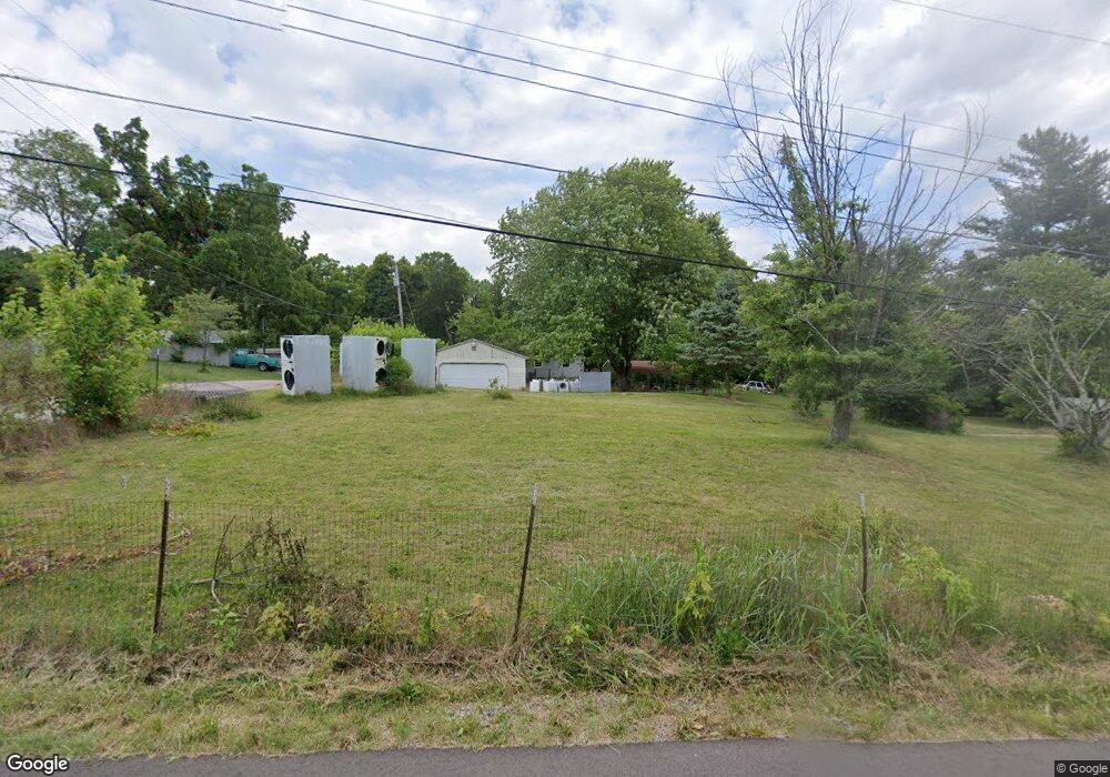
1327 Dive Rd Bedford, IN 47421
Estimated Value: $57,000 - $177,000
3
Beds
2
Baths
1,344
Sq Ft
$91/Sq Ft
Est. Value
About This Home
This home is located at 1327 Dive Rd, Bedford, IN 47421 and is currently estimated at $122,333, approximately $91 per square foot. 1327 Dive Rd is a home located in Lawrence County with nearby schools including Bedford North Lawrence High School, Oolitic Christian School, and Stone City Christian Academy.
Ownership History
Date
Name
Owned For
Owner Type
Purchase Details
Closed on
Aug 11, 2022
Sold by
Estate Of George Amber E Dec
Bought by
Cessna Phillip A and Cessna Lindsay R
Current Estimated Value
Purchase Details
Closed on
Aug 3, 2010
Sold by
Homesales Inc
Bought by
Amber George
Purchase Details
Closed on
Dec 8, 2009
Sold by
Craig Sheriff Sam
Bought by
Not Provided
Create a Home Valuation Report for This Property
The Home Valuation Report is an in-depth analysis detailing your home's value as well as a comparison with similar homes in the area
Home Values in the Area
Average Home Value in this Area
Purchase History
| Date | Buyer | Sale Price | Title Company |
|---|---|---|---|
| Cessna Phillip A | $45,500 | Steele & Steele Llc | |
| Amber George | $13,000 | Classic Title | |
| Not Provided | -- | Feiwell & Hannoy | |
| Unknown Unknown | -- | Feiwell & Hannoy |
Source: Public Records
Tax History Compared to Growth
Tax History
| Year | Tax Paid | Tax Assessment Tax Assessment Total Assessment is a certain percentage of the fair market value that is determined by local assessors to be the total taxable value of land and additions on the property. | Land | Improvement |
|---|---|---|---|---|
| 2024 | $210 | $13,100 | $5,400 | $7,700 |
| 2023 | $224 | $12,700 | $5,800 | $6,900 |
| 2022 | $204 | $11,900 | $5,500 | $6,400 |
| 2021 | $172 | $10,500 | $5,100 | $5,400 |
| 2020 | $181 | $10,900 | $5,100 | $5,800 |
| 2019 | $181 | $10,600 | $5,000 | $5,600 |
| 2018 | $179 | $10,400 | $4,900 | $5,500 |
| 2017 | $176 | $10,300 | $4,900 | $5,400 |
| 2016 | $174 | $10,300 | $4,900 | $5,400 |
| 2014 | $171 | $10,100 | $4,900 | $5,200 |
Source: Public Records
Map
Nearby Homes