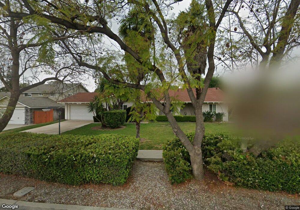
1327 N Quince Ave Upland, CA 91786
Estimated Value: $810,724 - $876,000
4
Beds
2
Baths
1,966
Sq Ft
$430/Sq Ft
Est. Value
About This Home
This home is located at 1327 N Quince Ave, Upland, CA 91786 and is currently estimated at $845,931, approximately $430 per square foot. 1327 N Quince Ave is a home located in San Bernardino County with nearby schools including Magnolia Elementary, Pioneer Junior High School, and Upland High School.
Ownership History
Date
Name
Owned For
Owner Type
Purchase Details
Closed on
Jun 23, 2021
Sold by
Ho Tien Ting
Bought by
Tien Family Living Trust
Current Estimated Value
Purchase Details
Closed on
Jun 21, 2021
Sold by
Glasel Annie Mei Ling and The Tien Family Living Trust
Bought by
Glasel Annie Mei Ling and Tien Thomas Winnie
Create a Home Valuation Report for This Property
The Home Valuation Report is an in-depth analysis detailing your home's value as well as a comparison with similar homes in the area
Home Values in the Area
Average Home Value in this Area
Purchase History
| Date | Buyer | Sale Price | Title Company |
|---|---|---|---|
| Tien Family Living Trust | -- | -- | |
| Tien Family Living Trust | -- | -- | |
| Glasel Annie Mei Ling | -- | None Available | |
| Tien Family Living Trust | -- | -- |
Source: Public Records
Tax History Compared to Growth
Tax History
| Year | Tax Paid | Tax Assessment Tax Assessment Total Assessment is a certain percentage of the fair market value that is determined by local assessors to be the total taxable value of land and additions on the property. | Land | Improvement |
|---|---|---|---|---|
| 2025 | $2,616 | $232,473 | $63,402 | $169,071 |
| 2024 | $2,616 | $227,915 | $62,159 | $165,756 |
| 2023 | $2,575 | $223,446 | $60,940 | $162,506 |
| 2022 | $2,519 | $219,065 | $59,745 | $159,320 |
| 2021 | $2,437 | $214,758 | $58,568 | $156,190 |
| 2020 | $2,370 | $212,555 | $57,967 | $154,588 |
| 2019 | $2,362 | $208,387 | $56,830 | $151,557 |
| 2018 | $2,305 | $204,301 | $55,716 | $148,585 |
| 2017 | $2,237 | $200,296 | $54,624 | $145,672 |
| 2016 | $2,050 | $196,369 | $53,553 | $142,816 |
| 2015 | $2,003 | $193,420 | $52,749 | $140,671 |
| 2014 | $1,950 | $189,631 | $51,716 | $137,915 |
Source: Public Records
Map
Nearby Homes
- 1234 N Laurel Ave
- 1346 N Euclid Ave
- 1404 N Euclid Ave
- 200 E 13th St
- 928 N Redding Way Unit D
- 388 Harford Place
- 1427 N San Antonio Ave
- 910 N Redding Way Unit F
- 1361 N 3rd Ave
- 855 N Palm Ave
- 1188 N 3rd Ave
- 939 W Pine St Unit 44
- 368 West St
- 1377 N 5th Ave
- 1477 Winston Ct
- 922 N 4th Ave
- 1018 W 15th St
- 125 Towns Ave
- 0 Bay St Unit AR25093919
- 1310 N Erin Ave
- 1335 N Quince Ave
- 1323 N Quince Ave
- 1326 N Stanford Ave
- 1334 N Stanford Ave
- 1341 N Quince Ave
- 1320 N Stanford Ave
- 272 W Dayton St
- 1340 N Stanford Ave
- 1328 N Quince Ave
- 1334 N Quince Ave
- 258 W Dayton St
- 1312 N Stanford Ave
- 1347 N Quince Ave
- 1342 N Quince Ave
- 1346 N Stanford Ave
- 236 W Dayton St
- 289 W 13th St
- 311 W 13th St
- 1327 N Toledo Way
- 1327 N Stanford Ave