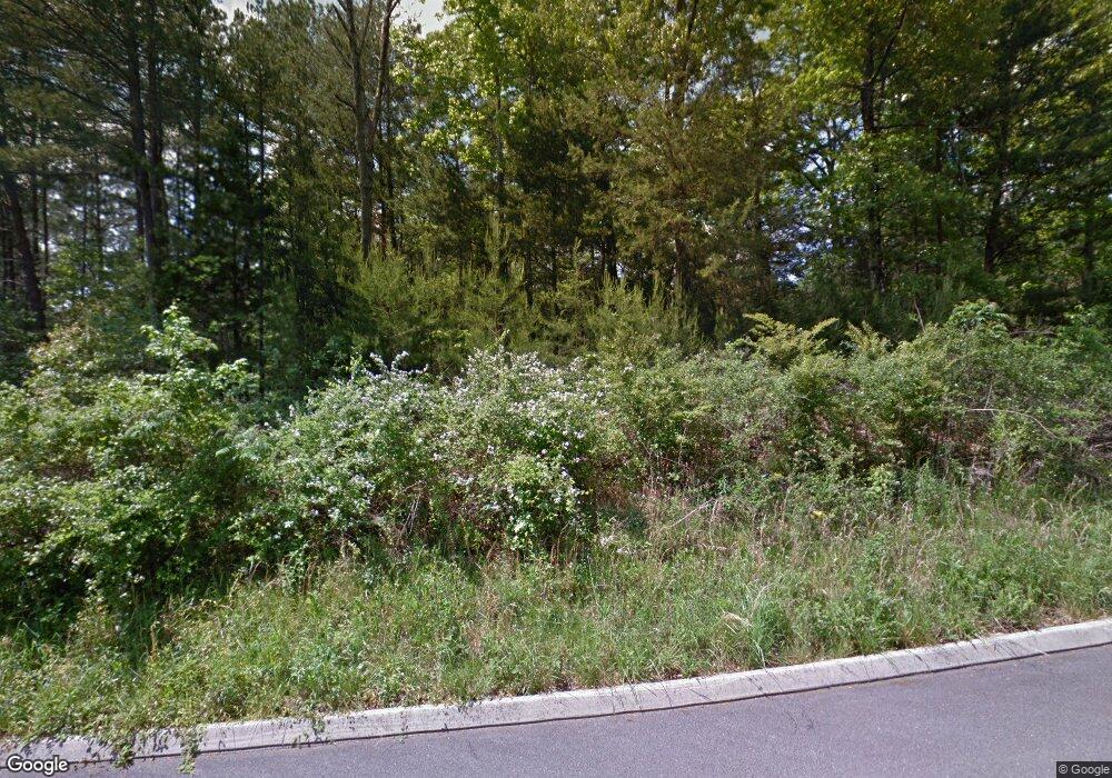
1327 Unity Dr NE Cleveland, TN 37312
Estimated Value: $406,000 - $487,000
4
Beds
3
Baths
2,548
Sq Ft
$176/Sq Ft
Est. Value
About This Home
This home is located at 1327 Unity Dr NE, Cleveland, TN 37312 and is currently estimated at $447,540, approximately $175 per square foot. 1327 Unity Dr NE is a home with nearby schools including Mayfield Elementary School, Cleveland Middle School, and Cleveland High School.
Ownership History
Date
Name
Owned For
Owner Type
Purchase Details
Closed on
May 31, 2022
Sold by
Unknown
Current Estimated Value
Home Financials for this Owner
Home Financials are based on the most recent Mortgage that was taken out on this home.
Original Mortgage
$501,167
Outstanding Balance
$476,150
Interest Rate
5.1%
Mortgage Type
New Conventional
Estimated Equity
-$28,610
Purchase Details
Closed on
Sep 30, 2019
Sold by
Lane Morgan
Bought by
Samorano Noe
Purchase Details
Closed on
Sep 28, 2018
Sold by
Living Word Church International
Bought by
Lane Morgan
Create a Home Valuation Report for This Property
The Home Valuation Report is an in-depth analysis detailing your home's value as well as a comparison with similar homes in the area
Home Values in the Area
Average Home Value in this Area
Purchase History
| Date | Buyer | Sale Price | Title Company |
|---|---|---|---|
| -- | $489,900 | Henry Travis D | |
| Latreille John P | $489,900 | None Listed On Document | |
| Samorano Noe | -- | None Available | |
| Lane Morgan | $29,800 | None Available | |
| Living Word Church International Inc | -- | None Available |
Source: Public Records
Mortgage History
| Date | Status | Borrower | Loan Amount |
|---|---|---|---|
| Open | Latreille John P | $501,167 | |
| Closed | Latreille John P | $501,167 |
Source: Public Records
Tax History Compared to Growth
Tax History
| Year | Tax Paid | Tax Assessment Tax Assessment Total Assessment is a certain percentage of the fair market value that is determined by local assessors to be the total taxable value of land and additions on the property. | Land | Improvement |
|---|---|---|---|---|
| 2024 | $1,129 | $78,425 | $5,300 | $73,125 |
| 2023 | $2,472 | $78,425 | $5,300 | $73,125 |
| 2022 | $1,516 | $6,000 | $6,000 | $0 |
| 2021 | $189 | $6,000 | $0 | $0 |
| 2020 | $197 | $6,000 | $0 | $0 |
| 2019 | $261 | $6,775 | $0 | $0 |
| 2018 | $280 | $0 | $0 | $0 |
| 2017 | $140 | $0 | $0 | $0 |
| 2016 | $196 | $0 | $0 | $0 |
| 2015 | $196 | $0 | $0 | $0 |
| 2014 | $101 | $0 | $0 | $0 |
Source: Public Records
Map
Nearby Homes
- 1342 Unity Dr NE
- 1322 Unity Dr NE
- 1320 Unity Dr NE
- 1384 Unity Dr NE
- 1405 Blythe Ferry Rd NE
- 00 Abbey Cove NE
- 3905 Old Tasso Rd NE
- 1004 Cottage Stone Ln NE
- 1302 Blythe Ferry Place NE
- 3810 Old Tasso Rd NE
- Lot 4 37th St NE
- Lot 3 37th St NE
- Lot 2 37th St NE
- Lot 1 37th St NE
- 1310 Woodland Cove Place NE
- 3533 Windsor Cir NE
- 1475 Morrison Ln NE
- 1327 Woodland Cove Place NE
- 0 Gate Tower Way NE
- 1335 Unity Dr NE
- 1328 Unity Dr NE
- 0 Lot 2 Ne Unity Dr Unit LOT 2 1352433
- 0 Unity Dr Unit 20133726
- 0 Unity Dr Unit 20141028
- 0 Unity Dr Unit 20141029
- Lot 4 Unity Dr
- Lot 3 Unity Dr
- Lot 2 Unity Dr
- Lot 1 Unity Dr
- Lot 18 Unity Dr NE
- Lot 17 Unity Dr NE
- Lot 7 Unity Dr NE
- Lot 12 Unity Dr NE
- Lot 15 Unity Dr NE
- 21 Unity Dr NE
- 22 Unity Dr NE
- 17 Unity Dr NE
- 18 Unity Dr NE
- 0 Unity Dr NE Unit 1368180
