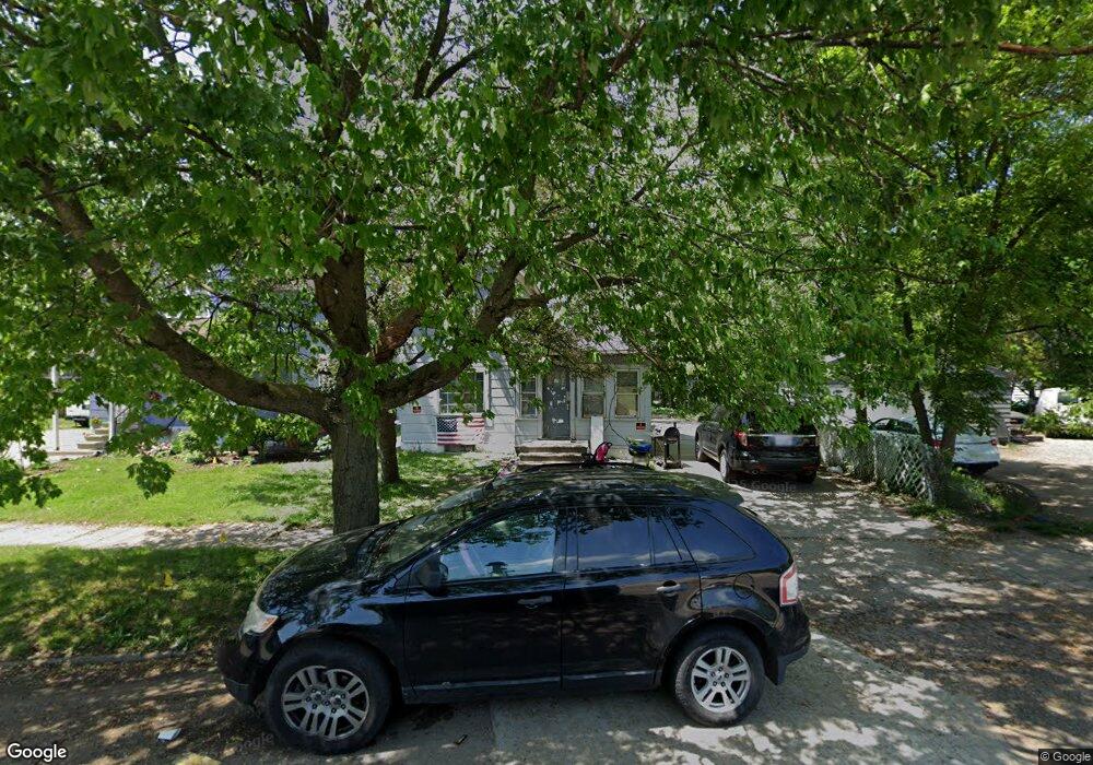
1328 Cameron St Kalamazoo, MI 49001
Edison NeighborhoodEstimated Value: $37,000 - $122,000
3
Beds
2
Baths
1,426
Sq Ft
$48/Sq Ft
Est. Value
About This Home
This home is located at 1328 Cameron St, Kalamazoo, MI 49001 and is currently estimated at $69,000, approximately $48 per square foot. 1328 Cameron St is a home located in Kalamazoo County with nearby schools including Edison Environmental Science Academy, Maple Street Magnet School for the Arts, and Loy Norrix High School.
Ownership History
Date
Name
Owned For
Owner Type
Purchase Details
Closed on
Apr 25, 2025
Sold by
Mitchell Whitney Lynn and Mitchell Whitney
Bought by
Kpm Property Holdings Llc
Current Estimated Value
Purchase Details
Closed on
May 23, 2020
Sold by
Kang Amandeep S
Bought by
Mitchell Whitney and Mitchell Philemon
Purchase Details
Closed on
Jun 30, 2005
Sold by
Flores Fredy Antonio Chavez
Bought by
Mortgage Elecetroni Registration Systems
Purchase Details
Closed on
Jun 30, 2004
Sold by
Enriquez Carolina
Bought by
Flores Fredy Antonio Chavez
Home Financials for this Owner
Home Financials are based on the most recent Mortgage that was taken out on this home.
Original Mortgage
$60,200
Interest Rate
11.39%
Mortgage Type
Purchase Money Mortgage
Create a Home Valuation Report for This Property
The Home Valuation Report is an in-depth analysis detailing your home's value as well as a comparison with similar homes in the area
Home Values in the Area
Average Home Value in this Area
Purchase History
| Date | Buyer | Sale Price | Title Company |
|---|---|---|---|
| Kpm Property Holdings Llc | $35,000 | Chicago Title Of Michigan | |
| Mitchell Whitney | $25,000 | None Available | |
| Mortgage Elecetroni Registration Systems | $45,000 | -- | |
| Flores Fredy Antonio Chavez | -- | Devon Title |
Source: Public Records
Mortgage History
| Date | Status | Borrower | Loan Amount |
|---|---|---|---|
| Previous Owner | Flores Fredy Antonio Chavez | $60,200 |
Source: Public Records
Tax History
| Year | Tax Paid | Tax Assessment Tax Assessment Total Assessment is a certain percentage of the fair market value that is determined by local assessors to be the total taxable value of land and additions on the property. | Land | Improvement |
|---|---|---|---|---|
| 2025 | $121 | $5,000 | $0 | $0 |
| 2024 | $118 | $4,100 | $0 | $0 |
| 2023 | $118 | $4,100 | $0 | $0 |
| 2022 | $210 | $4,100 | $0 | $0 |
| 2021 | $205 | $4,000 | $0 | $0 |
| 2020 | $209 | $4,100 | $0 | $0 |
| 2019 | $274 | $4,100 | $0 | $0 |
| 2018 | $418 | $4,100 | $0 | $0 |
| 2017 | $986 | $14,000 | $0 | $0 |
| 2016 | $986 | $13,500 | $0 | $0 |
| 2015 | $986 | $13,200 | $0 | $0 |
| 2014 | $986 | $12,300 | $0 | $0 |
Source: Public Records
Map
Nearby Homes
- 1517 E Stockbridge Ave
- 1622 Olive St
- 1411 Egleston Ave
- 1315 E Stockbridge Ave
- 1721 Egleston Ave
- 1204 March St
- 1309 Wells Place
- 1314 Clinton Ave
- 1908 E Stockbridge Ave
- 1113 Egleston Ave
- 1104 Washington Ave
- 619 Lake St
- 1129 Mills St
- 1028 Clinton Ave
- 901 Clarence St
- 1506 Lane Blvd
- 1006 Hays Park Ave
- 1626 Lane Blvd
- 1315 Jackson St
- 1012 Mills St
- 1332 Cameron St
- 1326 Cameron St
- 1523 E Stockbridge Ave
- 1513 E Stockbridge Ave
- 1322 Cameron St
- 1318 Cameron St
- 1507 E Stockbridge Ave
- 1325 Cameron St
- 1321 Cameron St
- 1316 Cameron St
- 1325 Division St
- 1321 Division St
- 1608 Olive St
- 1319 Division St
- 1518 E Stockbridge Ave
- 1503 E Stockbridge Ave
- 1522 E Stockbridge Ave
- 1501 E Stockbridge Ave
- 1602 E Stockbridge Ave
- 1612 Olive St
Your Personal Tour Guide
Ask me questions while you tour the home.