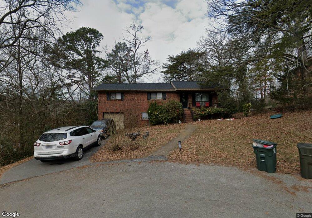
1328 Comet Trail Hixson, TN 37343
Dupont NeighborhoodEstimated Value: $211,000 - $319,000
4
Beds
2
Baths
1,606
Sq Ft
$176/Sq Ft
Est. Value
About This Home
This home is located at 1328 Comet Trail, Hixson, TN 37343 and is currently estimated at $282,584, approximately $175 per square foot. 1328 Comet Trail is a home located in Hamilton County with nearby schools including DuPont Elementary School, Red Bank Middle School, and Red Bank High School.
Ownership History
Date
Name
Owned For
Owner Type
Purchase Details
Closed on
Dec 19, 2014
Sold by
Smith Eugene
Bought by
Boston Hills Llc
Current Estimated Value
Purchase Details
Closed on
Mar 7, 2012
Sold by
Fannie Mae
Bought by
Smith Eugene
Purchase Details
Closed on
Jul 22, 2011
Sold by
Schuster Frank T and Schuster Carolyn W
Bought by
Federal National Mortgage Association
Create a Home Valuation Report for This Property
The Home Valuation Report is an in-depth analysis detailing your home's value as well as a comparison with similar homes in the area
Home Values in the Area
Average Home Value in this Area
Purchase History
| Date | Buyer | Sale Price | Title Company |
|---|---|---|---|
| Boston Hills Llc | $663,445 | Pioneer Title Agency Inc | |
| Smith Eugene | $56,700 | Servicelink Hopewell Campus | |
| Federal National Mortgage Association | -- | Commerce Title Company |
Source: Public Records
Tax History Compared to Growth
Tax History
| Year | Tax Paid | Tax Assessment Tax Assessment Total Assessment is a certain percentage of the fair market value that is determined by local assessors to be the total taxable value of land and additions on the property. | Land | Improvement |
|---|---|---|---|---|
| 2024 | $898 | $40,150 | $0 | $0 |
| 2023 | $898 | $40,150 | $0 | $0 |
| 2022 | $898 | $40,150 | $0 | $0 |
| 2021 | $898 | $40,150 | $0 | $0 |
| 2020 | $955 | $34,550 | $0 | $0 |
| 2019 | $955 | $34,550 | $0 | $0 |
| 2018 | $913 | $34,550 | $0 | $0 |
| 2017 | $955 | $34,550 | $0 | $0 |
| 2016 | $957 | $0 | $0 | $0 |
| 2015 | $1,871 | $34,600 | $0 | $0 |
| 2014 | $1,871 | $0 | $0 | $0 |
Source: Public Records
Map
Nearby Homes
- 1329 Highland Way
- 955 Brynwood Dr
- 410 Bardwood Ln
- 1325 Highland Rd
- 1328 Highland Rd
- 4609 Plaza Hills Ln
- 961 Ashland Terrace
- 4706 Eldridge Rd
- 3609 Forest Highland Dr
- 1237 Cranbrook Dr
- 4529 Sherry Ln
- 1004 Brynehill Ln
- 810 Forest Dale Ln
- 1313 Michael Ln
- 3802 Jarren Ct
- 1216 Clermont Dr
- 3906 Forest Highland Cir
- 4810 Delashmitt Rd
- 3944 Azalean Dr
- 4607 Cloverdale Loop