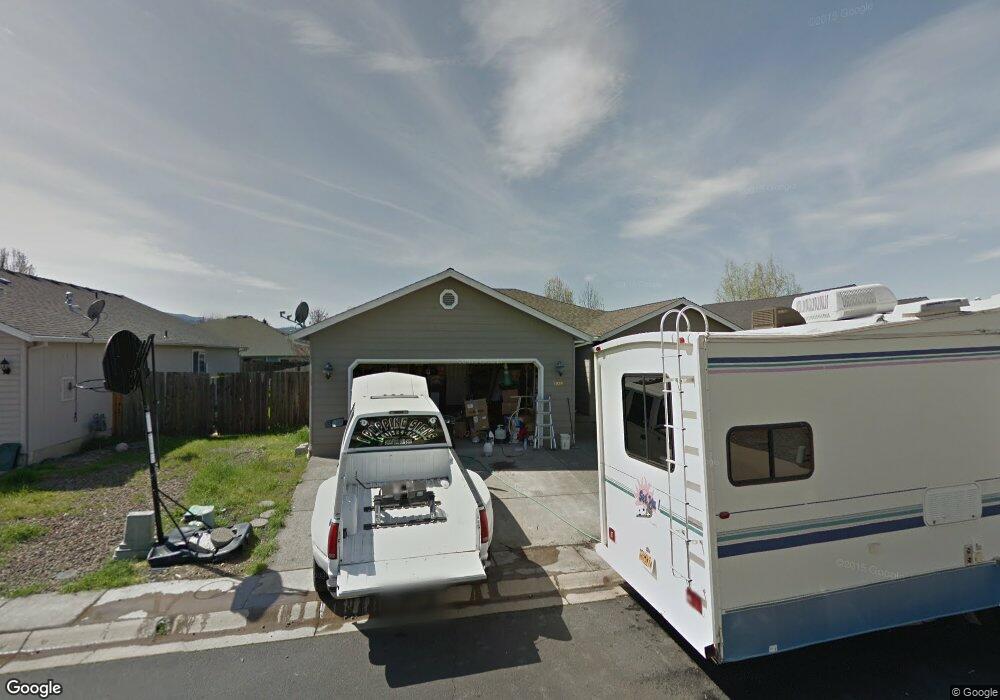
1328 Hawk Dr Central Point, OR 97502
Estimated Value: $370,000 - $393,000
3
Beds
2
Baths
1,622
Sq Ft
$235/Sq Ft
Est. Value
About This Home
This home is located at 1328 Hawk Dr, Central Point, OR 97502 and is currently estimated at $380,657, approximately $234 per square foot. 1328 Hawk Dr is a home located in Jackson County with nearby schools including Jewett Elementary School, Scenic Middle School, and Crater High School.
Ownership History
Date
Name
Owned For
Owner Type
Purchase Details
Closed on
Dec 10, 2012
Sold by
Reeder Properties Llc
Bought by
Reeder Ralph J and Reeder Margaret E
Current Estimated Value
Purchase Details
Closed on
Dec 13, 2004
Sold by
Reeder Ralph
Bought by
Reeder Properties Llc
Purchase Details
Closed on
Feb 28, 2003
Sold by
Duncan Development Llc
Bought by
Reeder Ralph J and Reeder Margaret E
Create a Home Valuation Report for This Property
The Home Valuation Report is an in-depth analysis detailing your home's value as well as a comparison with similar homes in the area
Purchase History
| Date | Buyer | Sale Price | Title Company |
|---|---|---|---|
| Reeder Ralph J | -- | Accommodation | |
| Reeder Properties Llc | -- | First American Title | |
| Reeder Properties Llc | -- | First American Title | |
| Reeder Properties Llc | -- | First American Title | |
| Reeder Ralph J | $42,900 | Amerititle |
Source: Public Records
Tax History
| Year | Tax Paid | Tax Assessment Tax Assessment Total Assessment is a certain percentage of the fair market value that is determined by local assessors to be the total taxable value of land and additions on the property. | Land | Improvement |
|---|---|---|---|---|
| 2026 | $3,783 | $218,910 | $111,000 | $107,910 |
| 2025 | $3,691 | $221,970 | $75,650 | $146,320 |
| 2024 | $3,691 | $215,510 | $73,450 | $142,060 |
| 2023 | $3,572 | $209,240 | $71,310 | $137,930 |
| 2022 | $3,488 | $209,240 | $71,310 | $137,930 |
| 2021 | $3,389 | $203,150 | $69,230 | $133,920 |
| 2020 | $3,290 | $197,240 | $67,210 | $130,030 |
| 2019 | $3,209 | $185,930 | $63,350 | $122,580 |
| 2018 | $3,111 | $180,520 | $61,510 | $119,010 |
| 2017 | $3,033 | $180,520 | $61,510 | $119,010 |
| 2016 | $2,945 | $170,170 | $57,980 | $112,190 |
| 2015 | $2,821 | $170,170 | $57,980 | $112,190 |
| 2014 | $2,695 | $160,410 | $54,650 | $105,760 |
Source: Public Records
Map
Nearby Homes
- 2335 New Haven Dr
- 2311 Lara Ln
- 1617 Tennessee Ln
- 1653 Kentucky Ct
- 1153 Annalise St
- 2460 Jeremy St
- 1121 Annalise St
- 4722 Gebhard Rd
- 1113 Annalise St
- 1109 Annalise St
- 875 N Mountain Ave
- 446 Beebe Rd
- 549 Wilson Rd
- 368 Live Oak Loop
- 225 Wilson Rd
- 4595 Table Rock Rd
- 4286 Hamrick Rd
- 1840 E Pine St
- 4399 Table Rock Rd
- 1600 E Pine St
Your Personal Tour Guide
Ask me questions while you tour the home.