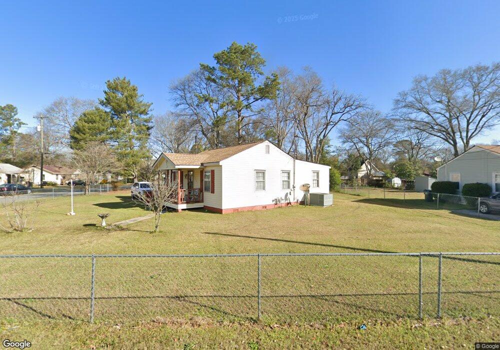
1328 Joseph Ave Warner Robins, GA 31088
Estimated Value: $90,365 - $102,000
--
Bed
1
Bath
1,073
Sq Ft
$90/Sq Ft
Est. Value
About This Home
This home is located at 1328 Joseph Ave, Warner Robins, GA 31088 and is currently estimated at $96,341, approximately $89 per square foot. 1328 Joseph Ave is a home located in Houston County with nearby schools including C. B. Watson Primary School, Pearl Stephens Elementary School, and Huntington Middle School.
Ownership History
Date
Name
Owned For
Owner Type
Purchase Details
Closed on
Jul 1, 1988
Sold by
Westbrook John J Sr Estate
Bought by
Monroe Diane Gosnell
Current Estimated Value
Purchase Details
Closed on
Jun 29, 1988
Sold by
Corrects 808 and Corrects 456
Bought by
Monroe Diane Gosnell
Purchase Details
Closed on
Jun 28, 1988
Sold by
Westbrook John J
Bought by
Monroe Diane Gosnell
Purchase Details
Closed on
Jun 3, 1988
Sold by
Beaver Mildered C Estate
Bought by
Monroe Diane Gosnell
Purchase Details
Closed on
Oct 20, 1986
Sold by
Westbrook John J Estate
Bought by
Beaver Mildred
Purchase Details
Closed on
Sep 1, 1960
Bought by
Westbrook John J
Create a Home Valuation Report for This Property
The Home Valuation Report is an in-depth analysis detailing your home's value as well as a comparison with similar homes in the area
Home Values in the Area
Average Home Value in this Area
Purchase History
| Date | Buyer | Sale Price | Title Company |
|---|---|---|---|
| Monroe Diane Gosnell | -- | -- | |
| Monroe Diane Gosnell | -- | -- | |
| Monroe Diane Gosnell | -- | -- | |
| Monroe Diane Gosnell | -- | -- | |
| Beaver Mildred | -- | -- | |
| Westbrook John J | -- | -- |
Source: Public Records
Tax History Compared to Growth
Tax History
| Year | Tax Paid | Tax Assessment Tax Assessment Total Assessment is a certain percentage of the fair market value that is determined by local assessors to be the total taxable value of land and additions on the property. | Land | Improvement |
|---|---|---|---|---|
| 2024 | $619 | $25,280 | $3,800 | $21,480 |
| 2023 | $499 | $21,520 | $3,800 | $17,720 |
| 2022 | $252 | $20,120 | $3,800 | $16,320 |
| 2021 | $118 | $14,240 | $3,800 | $10,440 |
| 2020 | $115 | $14,080 | $3,800 | $10,280 |
| 2019 | $115 | $14,080 | $3,800 | $10,280 |
| 2018 | $115 | $14,080 | $3,800 | $10,280 |
| 2017 | $115 | $14,080 | $3,800 | $10,280 |
| 2016 | $115 | $14,080 | $3,800 | $10,280 |
| 2015 | -- | $14,080 | $3,800 | $10,280 |
| 2014 | -- | $17,640 | $3,800 | $13,840 |
| 2013 | -- | $17,640 | $3,800 | $13,840 |
Source: Public Records
Map
Nearby Homes
- 601 Paul St
- 106 Ida Ave
- 108 Ida Ave
- 213 Stratford Dr
- 908 Crestwood Terrace
- 803 Crestwood Terrace
- 104 Pleasant Hill Ct
- 509 S Pleasant Hill Rd
- 108 Southend Ave
- 603 S Davis Dr
- 310 Orchard Way
- 111 Forrester Dr
- 204 Deerwood Cir
- 212 Orchard Way
- 113 Sandra Ave
- 210 Scott Blvd
- 214 Kingsbury Cir
- 304 Wall St
- 113 Vernon Dr
- 201 Sherman St