Estimated Value: $191,000 - $307,000
--
Bed
1
Bath
1,264
Sq Ft
$197/Sq Ft
Est. Value
About This Home
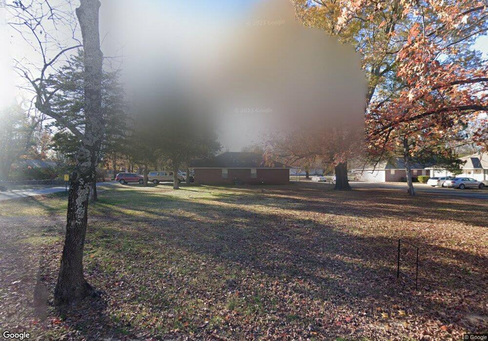
This home is located at 1329 Airport Rd, Alma, AR 72921 and is currently estimated at $249,000, approximately $196 per square foot. 1329 Airport Rd is a home located in Crawford County with nearby schools including Alma Primary School, Alma Intermediate School, and Alma Middle School.
Ownership History
Date
Name
Owned For
Owner Type
Purchase Details
Closed on
Jun 16, 2025
Sold by
Wilson Chad C and Wilson Amy M
Bought by
Canales Marco and Canales Raquel Urrea
Current Estimated Value
Purchase Details
Closed on
Dec 9, 2004
Sold by
Hackler Lee and Hackler Patricia
Bought by
Weaver Tony and Weaver Phyllis
Home Financials for this Owner
Home Financials are based on the most recent Mortgage that was taken out on this home.
Original Mortgage
$44,000
Interest Rate
10.6%
Mortgage Type
Adjustable Rate Mortgage/ARM
Purchase Details
Closed on
Feb 10, 1997
Bought by
Flanagan-Hackler
Create a Home Valuation Report for This Property
The Home Valuation Report is an in-depth analysis detailing your home's value as well as a comparison with similar homes in the area
Home Values in the Area
Average Home Value in this Area
Purchase History
| Date | Buyer | Sale Price | Title Company |
|---|---|---|---|
| Canales Marco | $30,000 | Crawford County Abstract | |
| Weaver Tony | $44,000 | -- | |
| Flanagan-Hackler | $20,000 | -- |
Source: Public Records
Mortgage History
| Date | Status | Borrower | Loan Amount |
|---|---|---|---|
| Previous Owner | Weaver Tony | $44,000 |
Source: Public Records
Tax History Compared to Growth
Tax History
| Year | Tax Paid | Tax Assessment Tax Assessment Total Assessment is a certain percentage of the fair market value that is determined by local assessors to be the total taxable value of land and additions on the property. | Land | Improvement |
|---|---|---|---|---|
| 2025 | $176 | $3,300 | $3,300 | $0 |
| 2024 | $176 | $3,300 | $3,300 | $0 |
| 2023 | $176 | $3,300 | $3,300 | $0 |
| 2022 | $176 | $3,300 | $3,300 | $0 |
| 2021 | $464 | $8,720 | $3,300 | $5,420 |
| 2020 | $464 | $8,720 | $3,300 | $5,420 |
| 2019 | $473 | $8,720 | $3,300 | $5,420 |
| 2018 | $473 | $8,720 | $3,300 | $5,420 |
| 2017 | $32 | $9,090 | $3,000 | $6,090 |
| 2016 | $32 | $9,090 | $3,000 | $6,090 |
| 2015 | $32 | $9,090 | $3,000 | $6,090 |
| 2014 | $32 | $9,090 | $3,000 | $6,090 |
Source: Public Records
Map
Nearby Homes
- 1211 Harris Dr
- 1037 Harris Dr
- 254 E Main St
- 123 Oak St
- 308 Emily Dr
- 1322 Riley Cir
- 1736 Riley Cir
- TBD Old Macedonia Rd
- 36 Ash St
- TBD W Cherry St
- 3.42 Acres W Cherry St
- 211 Honeysuckle St
- 133 Honeysuckle St
- 3300 Eagles Way
- 109 Meadors Dr
- 447 Thicksten Dr
- 1928 Plum Creek Ln
- 0 Interstate 40
- 1238 Orrick Rd
- . Ray Ln
- 1416 Seals St
- 1321 Airport Rd Unit A
- 1330 Airport Rd
- 1412 Seals St
- 1320 Airport Rd
- 1411 Airport Rd
- 1311 Airport Rd
- 1419 Seals St
- 1408 Airport Rd
- 1408 Seals St
- 1409 Seals St
- 1400 Airport Rd
- 1303 Airport Rd
- 1404 Seals St
- 1236 Airport Rd
- 1314 Seals St
- 1329 Harris Dr
- 1333 Harris Dr
- 1235 Airport Rd
- 1323 Harris Dr