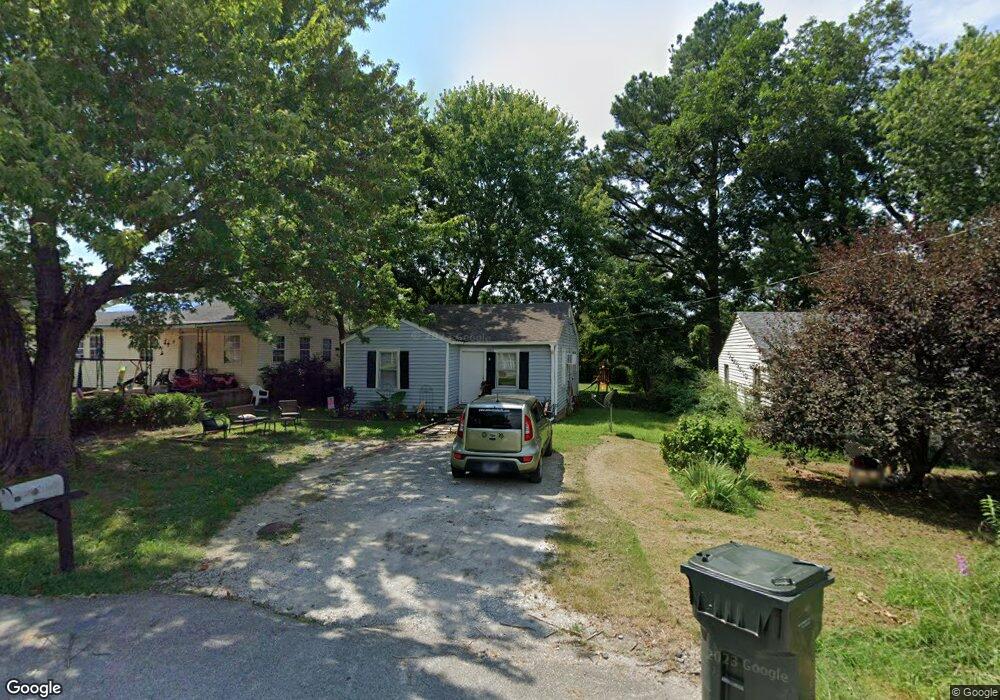
1329 Dungan St Humboldt, TN 38343
Estimated Value: $53,000 - $90,000
--
Bed
1
Bath
732
Sq Ft
$101/Sq Ft
Est. Value
About This Home
This home is located at 1329 Dungan St, Humboldt, TN 38343 and is currently estimated at $74,030, approximately $101 per square foot. 1329 Dungan St is a home located in Gibson County with nearby schools including Stigall Primary School, East Elementary School, and Humboldt Middle School.
Ownership History
Date
Name
Owned For
Owner Type
Purchase Details
Closed on
Jul 8, 2015
Sold by
Koffman Neill A
Bought by
Premier Rentals Llc
Current Estimated Value
Purchase Details
Closed on
Jun 12, 2006
Sold by
Pritchard Jess
Bought by
Koffman Neill
Purchase Details
Closed on
Jan 4, 2002
Sold by
Chambers Linda W
Bought by
Pirtchard Jess
Home Financials for this Owner
Home Financials are based on the most recent Mortgage that was taken out on this home.
Original Mortgage
$14,687
Interest Rate
6.99%
Purchase Details
Closed on
Jan 1, 1984
Purchase Details
Closed on
Aug 12, 1968
Bought by
Antwine Patsy L
Create a Home Valuation Report for This Property
The Home Valuation Report is an in-depth analysis detailing your home's value as well as a comparison with similar homes in the area
Home Values in the Area
Average Home Value in this Area
Purchase History
| Date | Buyer | Sale Price | Title Company |
|---|---|---|---|
| Premier Rentals Llc | $499,000 | -- | |
| Koffman Neill | $53,800 | -- | |
| Pirtchard Jess | $24,000 | -- | |
| -- | $10,600 | -- | |
| Antwine Patsy L | -- | -- |
Source: Public Records
Mortgage History
| Date | Status | Borrower | Loan Amount |
|---|---|---|---|
| Previous Owner | Antwine Patsy L | $14,687 |
Source: Public Records
Tax History Compared to Growth
Tax History
| Year | Tax Paid | Tax Assessment Tax Assessment Total Assessment is a certain percentage of the fair market value that is determined by local assessors to be the total taxable value of land and additions on the property. | Land | Improvement |
|---|---|---|---|---|
| 2025 | $267 | $9,875 | $0 | $0 |
| 2024 | $267 | $9,875 | $2,250 | $7,625 |
| 2023 | $58 | $5,225 | $1,000 | $4,225 |
| 2022 | $54 | $5,225 | $1,000 | $4,225 |
| 2021 | $54 | $5,225 | $1,000 | $4,225 |
| 2020 | $197 | $5,225 | $1,000 | $4,225 |
| 2019 | $197 | $5,225 | $1,000 | $4,225 |
| 2018 | $211 | $5,200 | $1,000 | $4,200 |
| 2017 | $210 | $5,200 | $1,000 | $4,200 |
| 2016 | $210 | $5,225 | $1,000 | $4,225 |
| 2015 | $208 | $5,225 | $1,000 | $4,225 |
| 2014 | -- | $5,225 | $1,000 | $4,225 |
Source: Public Records
Map
Nearby Homes
- 1338 Dungan St
- 1211 N 29th Ave
- 811 N 24th Ave
- 2508 Vine St
- 2425 St Mary Dr
- 2107 Campbell St
- 00000 Lot 7 Mullins St
- 0000 lot 6-C Mullins St
- 000Lot 6-B Mullins St
- 00-lot 6-A Mullins St
- 3117 Laurel St
- 0 +-6 Acres Gadsden Todd Levee Unit 241321
- 700 N 29th Ave
- 0 Eastend Dr
- 2162 Dodson St
- 1438 N 19th Ave
- 2900 E Mitchell St
- 1012 Parkway Cove
- 2310 Dodson St
- 171 N 28th Ave