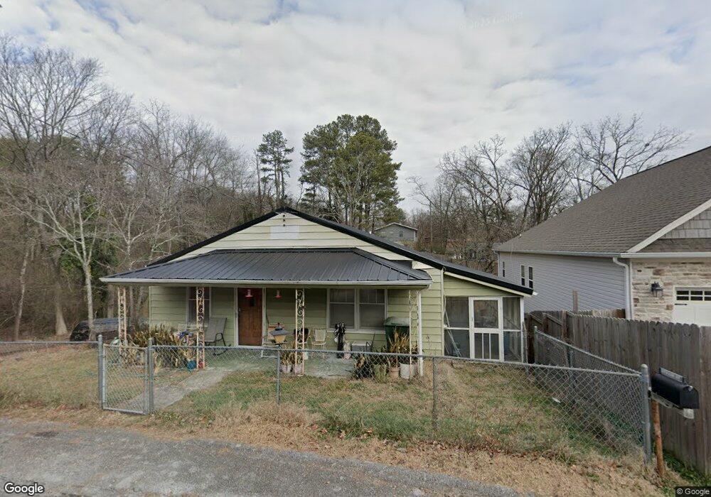
1329 Hixson Ave Hixson, TN 37343
Dupont NeighborhoodEstimated Value: $160,070 - $270,000
--
Bed
--
Bath
1,170
Sq Ft
$180/Sq Ft
Est. Value
About This Home
This home is located at 1329 Hixson Ave, Hixson, TN 37343 and is currently estimated at $211,018, approximately $180 per square foot. 1329 Hixson Ave is a home located in Hamilton County with nearby schools including DuPont Elementary School, St Jude School, and St. Peter's Episcopal School.
Ownership History
Date
Name
Owned For
Owner Type
Purchase Details
Closed on
May 24, 2024
Sold by
Roberson Marion E
Bought by
Roberson Marion E and Roberson Kimsey
Current Estimated Value
Purchase Details
Closed on
Jun 30, 1997
Sold by
Roberson Ernie M and Roberson Joann B
Bought by
Roberson Marion E
Home Financials for this Owner
Home Financials are based on the most recent Mortgage that was taken out on this home.
Original Mortgage
$30,000
Interest Rate
7.93%
Mortgage Type
Seller Take Back
Purchase Details
Closed on
Jun 16, 1997
Sold by
Title Escrow Of Chattanooga Inc
Bought by
Roberson Ernie M and Roberson Joann
Home Financials for this Owner
Home Financials are based on the most recent Mortgage that was taken out on this home.
Original Mortgage
$30,000
Interest Rate
7.93%
Mortgage Type
Seller Take Back
Create a Home Valuation Report for This Property
The Home Valuation Report is an in-depth analysis detailing your home's value as well as a comparison with similar homes in the area
Home Values in the Area
Average Home Value in this Area
Purchase History
| Date | Buyer | Sale Price | Title Company |
|---|---|---|---|
| Roberson Marion E | -- | Ensign Title | |
| Roberson Marion E | $30,000 | Title Escrow Chattanooga Inc | |
| Roberson Ernie M | $40,721 | Title Escrow Chattanooga Inc |
Source: Public Records
Mortgage History
| Date | Status | Borrower | Loan Amount |
|---|---|---|---|
| Previous Owner | Roberson Marion E | $30,000 |
Source: Public Records
Tax History Compared to Growth
Tax History
| Year | Tax Paid | Tax Assessment Tax Assessment Total Assessment is a certain percentage of the fair market value that is determined by local assessors to be the total taxable value of land and additions on the property. | Land | Improvement |
|---|---|---|---|---|
| 2024 | $517 | $23,100 | $0 | $0 |
| 2023 | $517 | $23,100 | $0 | $0 |
| 2022 | $517 | $23,100 | $0 | $0 |
| 2021 | $517 | $23,100 | $0 | $0 |
| 2020 | $521 | $18,850 | $0 | $0 |
| 2019 | $521 | $18,850 | $0 | $0 |
| 2018 | $556 | $18,850 | $0 | $0 |
| 2017 | $521 | $18,850 | $0 | $0 |
| 2016 | $513 | $0 | $0 | $0 |
| 2015 | $1,056 | $18,550 | $0 | $0 |
| 2014 | $1,056 | $0 | $0 | $0 |
Source: Public Records
Map
Nearby Homes
- 1313 Michael Ln
- 1328 Michael Ln
- 4607 Cloverdale Loop
- 4706 Eldridge Rd
- 810 Forest Dale Ln
- 4810 Delashmitt Rd
- 4609 Plaza Hills Ln
- 507 Heidi Cir
- 1237 Cranbrook Dr
- 1428 Highcrest Dr
- 5307 Delashmitt Rd
- 1329 Highland Way
- 5227 Lawana Ln
- 4529 Sherry Ln
- 602 Paragon Dr
- 955 Brynwood Dr
- 1638 Green Hill Dr
- 1004 Brynehill Ln
- 1716 Strawberry Ln
- 1325 Highland Rd
- 1335 Hixson Ave
- 0 Hixson Ave Unit 1261280
- 1337 Hixson Ave
- 1334 Hixson Ave
- 1339 Hixson Ave
- 1312 Michael Ln
- 1308 Michael Ln
- 1316 Michael Ln
- 1328 Hixson Ave
- 1304 Michael Ln
- 1336 Hixson Ave
- 1323 Hixson Ave
- 1320 Michael Ln
- 4505 Norcross Rd
- 4501 Norcross Rd
- 1322 Hixson Ave
- 1324 Michael Ln
- 1309 Michael Ln
- 1305 Michael Ln
- 1313 Hixson Ave