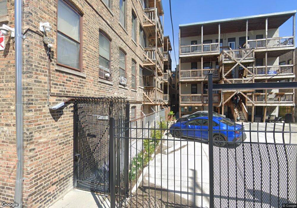
1329 W Lunt Ave Unit 1D Chicago, IL 60626
Rogers Park NeighborhoodEstimated Value: $174,000 - $215,000
--
Bed
--
Bath
--
Sq Ft
0.52
Acres
About This Home
This home is located at 1329 W Lunt Ave Unit 1D, Chicago, IL 60626 and is currently estimated at $198,163. 1329 W Lunt Ave Unit 1D is a home located in Cook County with nearby schools including New Field Elementary School, Eugene Field Elementary School, and Sullivan High School.
Ownership History
Date
Name
Owned For
Owner Type
Purchase Details
Closed on
Dec 14, 2000
Sold by
Carr Timothy G and Carr Marcy A
Bought by
Witherwax Renee A
Current Estimated Value
Home Financials for this Owner
Home Financials are based on the most recent Mortgage that was taken out on this home.
Original Mortgage
$76,000
Outstanding Balance
$28,148
Interest Rate
7.77%
Estimated Equity
$170,015
Purchase Details
Closed on
Jan 25, 1994
Sold by
Mechigian Garbis P and Mechigian Dorothy A
Bought by
Carr Timothy G and Carr Marcy A
Home Financials for this Owner
Home Financials are based on the most recent Mortgage that was taken out on this home.
Original Mortgage
$35,100
Interest Rate
7.31%
Create a Home Valuation Report for This Property
The Home Valuation Report is an in-depth analysis detailing your home's value as well as a comparison with similar homes in the area
Home Values in the Area
Average Home Value in this Area
Purchase History
| Date | Buyer | Sale Price | Title Company |
|---|---|---|---|
| Witherwax Renee A | $80,000 | -- | |
| Carr Timothy G | $26,000 | -- |
Source: Public Records
Mortgage History
| Date | Status | Borrower | Loan Amount |
|---|---|---|---|
| Open | Witherwax Renee A | $76,000 | |
| Previous Owner | Carr Timothy G | $35,100 |
Source: Public Records
Tax History Compared to Growth
Tax History
| Year | Tax Paid | Tax Assessment Tax Assessment Total Assessment is a certain percentage of the fair market value that is determined by local assessors to be the total taxable value of land and additions on the property. | Land | Improvement |
|---|---|---|---|---|
| 2024 | $2,210 | $13,858 | $1,118 | $12,740 |
| 2023 | $2,128 | $14,453 | $895 | $13,558 |
| 2022 | $2,128 | $14,453 | $895 | $13,558 |
| 2021 | $2,103 | $14,452 | $894 | $13,558 |
| 2020 | $1,127 | $8,783 | $720 | $8,063 |
| 2019 | $1,967 | $9,791 | $720 | $9,071 |
| 2018 | $1,934 | $9,791 | $720 | $9,071 |
| 2017 | $2,031 | $9,436 | $646 | $8,790 |
| 2016 | $1,890 | $9,436 | $646 | $8,790 |
| 2015 | $1,729 | $9,436 | $646 | $8,790 |
| 2014 | $1,661 | $8,955 | $596 | $8,359 |
| 2013 | $1,629 | $8,955 | $596 | $8,359 |
Source: Public Records
Map
Nearby Homes
- 1339 W Lunt Ave Unit 2N
- 1415 W Lunt Ave Unit 207
- 1225 W Lunt Ave Unit 12252B
- 1343 W Greenleaf Ave Unit 3
- 6912 N Lakewood Ave Unit 1W
- 1224 W Lunt Ave
- 1211 W Morse Ave Unit 2
- 1354 W Estes Ave Unit 1N
- 6812 N Wayne Ave Unit 1G
- 1324 W Pratt Blvd Unit 1W
- 7035 N Sheridan Rd Unit G
- 6809 N Lakewood Ave Unit 2N
- 6807 N Lakewood Ave Unit 2S
- 1434 W Pratt Blvd Unit 3E
- 1238 W Pratt Blvd Unit 1A
- 1358 W Estes Ave Unit 1S
- 1338 W Estes Ave Unit 13383N
- 1514 W Pratt Blvd Unit 1B
- 7120 N Sheridan Rd Unit 218
- 7120 N Sheridan Rd Unit 213
- 1329 W Lunt Ave Unit 3C
- 1329 W Lunt Ave Unit 2C
- 1329 W Lunt Ave Unit 1C
- 1329 W Lunt Ave Unit 3D
- 1329 W Lunt Ave Unit 2D
- 1329 W Lunt Ave Unit G1
- 1333 W Lunt Ave Unit 3H
- 1333 W Lunt Ave Unit 1F
- 1333 W Lunt Ave Unit 2H
- 1333 W Lunt Ave Unit 3F
- 1333 W Lunt Ave Unit 1H
- 1333 W Lunt Ave Unit 2F
- 1337 W Lunt Ave Unit 1L
- 1337 W Lunt Ave Unit 2K
- 1337 W Lunt Ave Unit 3L
- 1337 W Lunt Ave Unit 3K
- 1337 W Lunt Ave Unit 1K
- 1337 W Lunt Ave Unit 2L
- 1335 W Lunt Ave Unit 3J
- 1327 W Lunt Ave Unit 1B