13297 SW Maplecrest Ct Portland, OR 97223
West Tigard NeighborhoodEstimated Value: $725,826 - $932,000
3
Beds
3
Baths
2,418
Sq Ft
$337/Sq Ft
Est. Value
About This Home
This home is located at 13297 SW Maplecrest Ct, Portland, OR 97223 and is currently estimated at $815,957, approximately $337 per square foot. 13297 SW Maplecrest Ct is a home located in Washington County with nearby schools including Mary Woodward Elementary School, Thomas R. Fowler Middle School, and Tigard High School.
Ownership History
Date
Name
Owned For
Owner Type
Purchase Details
Closed on
May 29, 2008
Sold by
Windwood Construction Inc
Bought by
Ludlum Robert S and Ludlum Joann F
Current Estimated Value
Home Financials for this Owner
Home Financials are based on the most recent Mortgage that was taken out on this home.
Original Mortgage
$225,000
Outstanding Balance
$141,783
Interest Rate
5.87%
Mortgage Type
Unknown
Estimated Equity
$674,174
Create a Home Valuation Report for This Property
The Home Valuation Report is an in-depth analysis detailing your home's value as well as a comparison with similar homes in the area
Home Values in the Area
Average Home Value in this Area
Purchase History
| Date | Buyer | Sale Price | Title Company |
|---|---|---|---|
| Ludlum Robert S | $525,000 | First American |
Source: Public Records
Mortgage History
| Date | Status | Borrower | Loan Amount |
|---|---|---|---|
| Open | Ludlum Robert S | $225,000 |
Source: Public Records
Tax History Compared to Growth
Tax History
| Year | Tax Paid | Tax Assessment Tax Assessment Total Assessment is a certain percentage of the fair market value that is determined by local assessors to be the total taxable value of land and additions on the property. | Land | Improvement |
|---|---|---|---|---|
| 2026 | $8,127 | $490,950 | -- | -- |
| 2025 | $8,127 | $476,660 | -- | -- |
| 2024 | $7,909 | $462,780 | -- | -- |
| 2023 | $7,909 | $449,310 | $0 | $0 |
| 2022 | $7,682 | $449,310 | $0 | $0 |
| 2021 | $7,489 | $423,530 | $0 | $0 |
| 2020 | $7,264 | $411,200 | $0 | $0 |
| 2019 | $6,950 | $399,230 | $0 | $0 |
| 2018 | $6,668 | $387,610 | $0 | $0 |
| 2017 | $6,427 | $376,330 | $0 | $0 |
| 2016 | $6,137 | $365,370 | $0 | $0 |
| 2015 | $5,899 | $354,730 | $0 | $0 |
| 2014 | $5,724 | $344,400 | $0 | $0 |
Source: Public Records
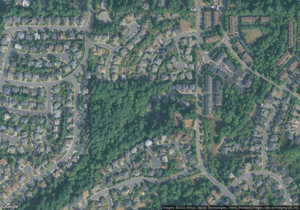
Map
Nearby Homes
- 13386 SW Hillshire Dr
- 13001 SW Gallin Ct
- 13518 SW Hillshire Dr
- 12991 SW Morningstar Dr
- 13222 SW Bigleaf Dr
- 13737 SW Benchview Terrace
- 13574 SW Mint Place
- 13728 SW 130th Place
- 12822 SW Morningstar Dr
- 13784 SW Hillshire Dr
- 13085 SW 124th Ave
- 13928 SW Hillshire Dr
- 14362 SW 134th Dr
- 12871 SW Sunny Terrace Unit L-3
- 12813 SW Sunny Terrace Unit L-1
- 14256 SW Lukar Ct
- 12183 SW Plantation Terrace
- 12300 SW 127th Ave
- 12062 SW Redberry Ct
- 12357 SW Duchilly Ct
- 13273 SW Maplecrest Ct
- 13260 SW Maplecrest Ct
- 13286 SW Maplecrest Ct
- 13268 SW Maplecrest Ct
- 13252 SW Maplecrest Ct
- 13222 SW Rockingham Dr
- 13257 SW Maplecrest Ct
- 13275 SW Greenfield Dr
- 13225 SW Rockingham Dr
- 13287 SW Clearview Way
- 13203 SW Wellington Place
- 13231 SW Maplecrest Ct
- 13265 SW Clearview Way
- 13255 SW Greenfield Dr
- 13158 SW Rockingham Dr
- 13243 SW Clearview Way
- 13217 SW Wellington Place
- 13325 SW Clearview Way
- 13217 SW Rockingham Dr
- 13229 SW Maplecrest Ct